1 Hereford Street, Christchurch Central City
18 reports on record since November 2017 · 14 with photographs. The street’s heaviest record is 53 Hereford Street, 125 reports on file. Indicative rating valuation and school zones, hazards, bin day and what stood here before.
What gets reported here
Photographed here 14 on record


Reported here
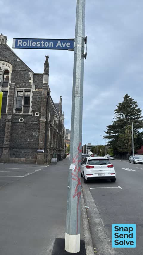
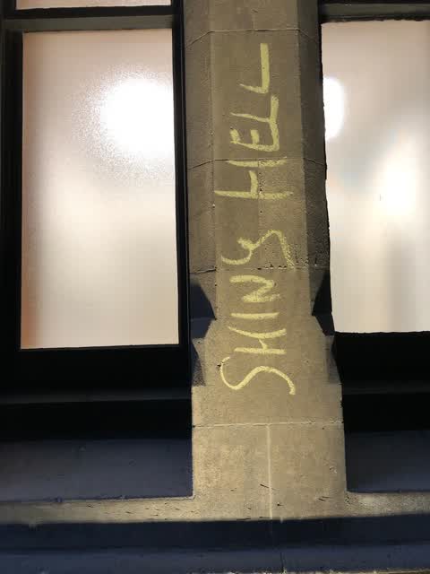
 Graffiti on a fence, building or structure,
 Graffiti on a sign, mural or public art,
Here we go yet again in a very short space of time! Could consideration given to removing the tag??
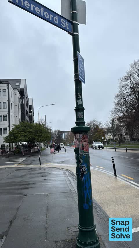
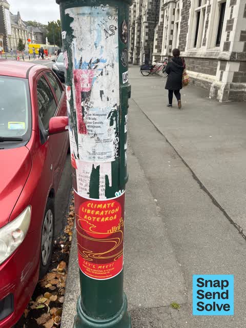
 Graffiti on a traffic light pole or cabinet, or wa,
Hello There is a 3??rd lot of tag and stickers. On the lovely Green light poles, it looks very untidy in a much enjoyed area of town . C
 Hazard, vehicle,
These signs are wrong.need another sign in.
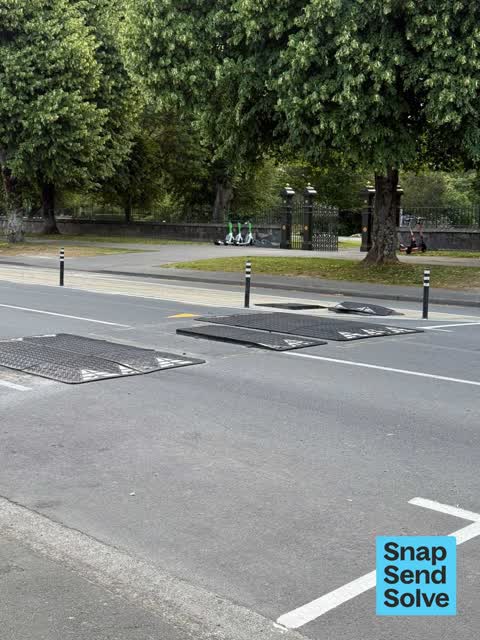
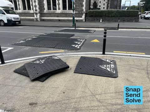
 Damaged Road,
Temp speed bump broken causing significant health and safety issue for drivers especially at night
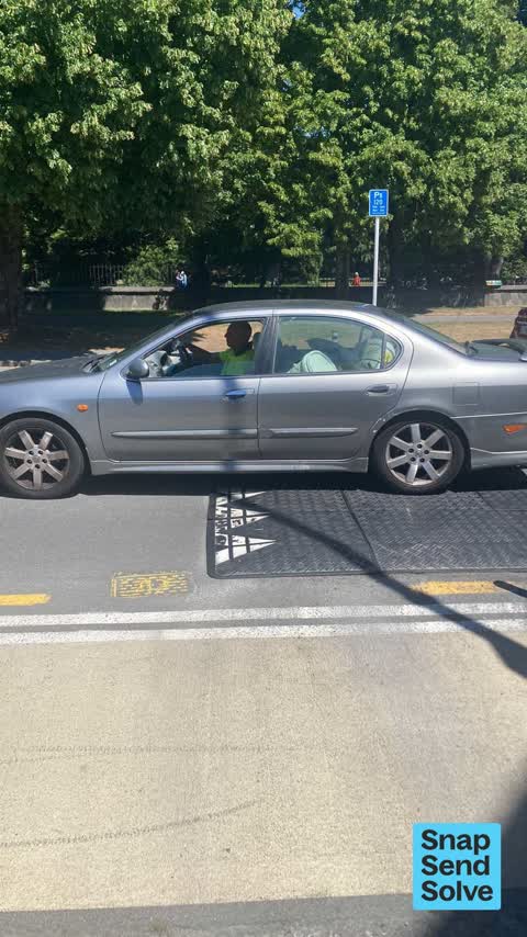
 Roads - General,
This speed bump on Rolleston Avenue has been damaged. Please can this be repaired.
 Pavement - Damaged,
Vanguard plastic road hump has broken free
- Park - General Request,
The top of the heavy metal entrance post at the entrance to the Botanical Gardens has been knocked at an angle and could fall on someone and
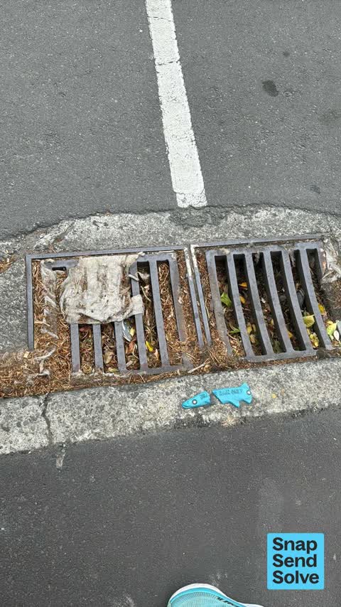
 Street Gutters / Storm Water,
Hello council person could consideration please be given to looking into this stormwater blockage thank you
 Poles and Signage - General,
Missing pole and parking sign
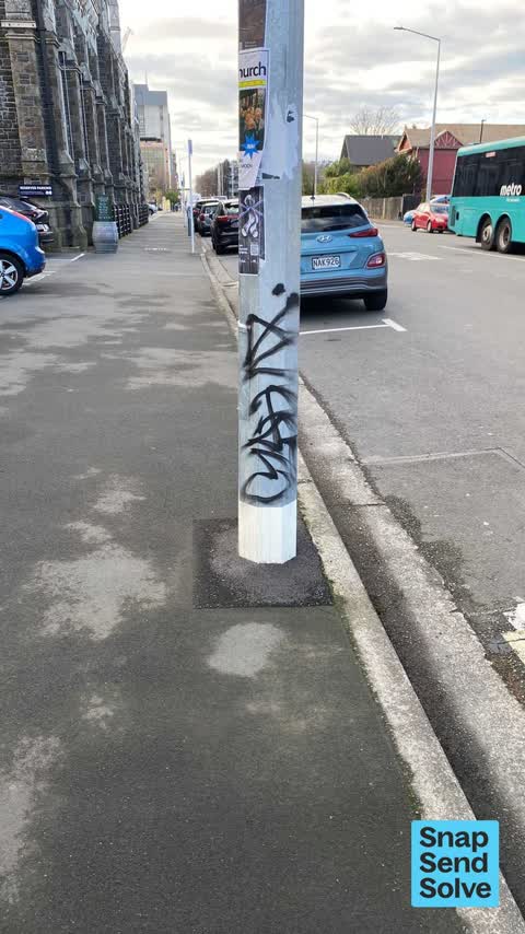
 Graffiti,
Illegally placed posters requiring removal.
 Graffiti,
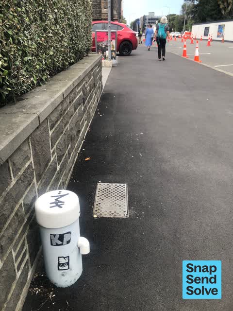
White water box?
- Pavement - Damaged,
- Pavement - General,
- Graffiti,
 Graffiti,
Arts centre
Graffiti,
Plant label in stand of pines made vulgar
Graffiti,
Also reported on Hereford Street
- 53 Hereford Street, 125 reports
- 71 Hereford Street, 92 reports
- 48 Hereford Street, 76 reports
- 141 Hereford Street, 64 reports
- 197 Hereford Street, 63 reports
- 262 Hereford Street, 59 reports
- 214 Hereford Street, 54 reports
- 147 Hereford Street, 48 reports
From the air, then
Sourced from Canterbury Maps and partners. LINZ, CC BY 3.0 NZ. Each frame is cut from Environment Canterbury’s historic imagery MapServer for that decade, only where the Footprints layer names a CC BY survey (NZAM-covered spots stay out). RetroLens holds more Crown aerials →
The street’s crash record
NZTA’s record names Hereford Street in 154 crashes that hurt somebody since 2006, 1 person killed, 25 seriously hurt.
The green nearby
- Botanic Gardens, 23 m to the edge · Botanic · 21 ha
- Hagley Park North, 200 m to the edge · Sports ground · 91 ha
- Armagh Reserve, 358 m to the edge
- Nurses Memorial Chapel, 364 m to the edge · Botanic
- Cranmer Square, 406 m to the edge · Botanic · 2 ha
Parks within half a kilometre, measured to the boundary, the council’s open data.
The civic shelf nearby
- Rolleston Avenue, 153 m away · Car park
- Christchurch Hospital Grounds, 306 m away · Car park
- Scales, 308 m away · Car park
- Civic Offices, 322 m away · Council office
Libraries, halls and the rest within half a kilometre, the council’s open data.
On the doorstep
- Airstream Icecream, 31 m away · Fast food
- Paint 'n' Sip, 32 m away · Craft
- Teece Museum of Classical Antiquities, 32 m away · Museums
- Cellar Door, 35 m away · Bars & pubs
Businesses within four hundred metres, measured at the pin: OpenStreetMap and the council directories.
The bus nearby
- Rolleston Ave near Gloucester St, 191 m away · route 8
- Hereford St near Montreal St, 264 m away · route 8
The closest Metro stops, within four hundred and fifty metres.
The tracks through here
- Walk and bike track through Christchurch Central City, 53 m to the line · walk · bike
- Walk and bike track through Christchurch Central City, 100 m to the line · walk · bike
- Walk and bike track through Christchurch Central City, 109 m to the line · walk · bike
- Walk and bike track through Christchurch Central City, 283 m to the line · walk · bike
- Walk and bike track through Christchurch Central City, 285 m to the line · walk · bike
Tracks whose line passes within half a kilometre, measured to the line itself, the council’s open data.
The named ground
Named water within 500 m of this address, measured to the line or the edge; Named places within 1.5 km of this address; the council’s own structure register, bridges, boardwalks and steps standing nearby, the open map’s record.
The remembered names nearby
- Botanic Gardens plaque, 47 m away · 2007
- Botanic Gardens plaque, 52 m away · 2008
- In Loving Memory of / Laurence K. Mitchell, 55 m away ·
In Loving Memory of / LAURENCE K. MITCHELL (Laurie) / 15-10-1941 to 21-10-2006 / A lifetim
· 2017
Inscribed plaques within two hundred and fifty metres, the register’s pins, not surveyed spots. The whole roll is at /plaques.
Renting nearby
new bonds in Christchurch Central City ran about $508 a week, $42 below the city median of $550, the suburb page keeps the rent record →.
What was here, Girls' High School/School of Art Block and Setting
on this spot · 101/1 Hereford Street · located to ±21 m · the place’s own record →
On the register. Nothing researched here yet.
What was here, Chemistry Building and Setting
41 m away · 3/5 Hereford Street · located to ±19 m · the place’s own record →
On the register. Nothing researched here yet.
What was here, West Lecture Block and Setting
42 m away · 50 Rolleston Avenue · located to ±12 m · the place’s own record →
On the register. Nothing researched here yet.
What was here, Moorhouse Statue and Setting
59 m away · located to ±2 m · the place’s own record →
On the register. Nothing researched here yet.
What was here, Classics Building and Setting
59 m away · 50 Rolleston Avenue · located to ±11 m · the place’s own record →
On the register. Nothing researched here yet.
The civic layer
This ground votes in Central ward, the Papanui-Innes-Central community board. Ward lines don’t always follow suburb lines; this one is measured at the pin, not the suburb’s centre.
What stood on this ground → · On the map → · From the air, the Crown’s aerials back to 1936; search the address on RetroLens →
Questions, answered briefly
18 council reports on record since November 2017, most often graffiti (6), pavement - damaged (2), street gutters / storm water (1).
Christchurch Central City, Christchurch, on Hereford Street.
The heritage register names 5 places at or beside it, Girls' High School/School of Art Block and Setting, Chemistry Building and Setting.
Botanic Gardens, 23 m to its edge, 21 ha.