11 Rolleston Avenue, Christchurch Central City
34 reports on record since September 2018 · 23 with photographs. The street’s heaviest record is 7 Rolleston Avenue, 124 reports on file. Indicative rating valuation and school zones, hazards, bin day and what stood here before.
What gets reported here
Photographed here 23 on record


Reported here
 Pavement - Damaged,
The pipe ends need to be cutoff, pavement might have settled, it is a potential tripping hazard
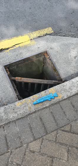
 Street Gutters / Storm Water,
The drain seems to be fully blocked.
 Graffiti on a fence, building or structure,
Illegally placed stickers - a form of graffiti.
 Graffiti on a fence, building or structure,
Graffiti
 Graffiti on a fence, building or structure,
On a sign at Botanic Gardens entrance
 Graffiti on a road, footpath or bridge,
KAEPE white paint tag on metal plate in the footpath at 11 Rolleston Avenue.
 Street Gutters / Storm Water,
Blocked up with debris
 Poles and Signage - General,
Sign was cleaned of graffiti a week ago, now tagged again :(
 Graffiti on a sign, mural or public art,
- Graffiti,
- Hazard, vehicle,
- Rubbish and Bins - General,
- Water Leak,
- Litter,
- Graffiti,
- Road Signage,
- Overgrown Vegetation,
- Pavement - General,
- Road Signage,
- Damaged Street Sign,
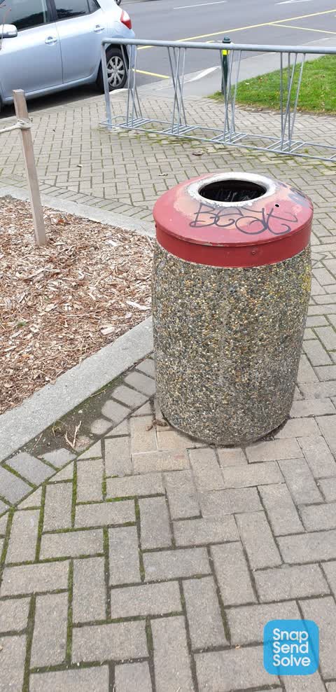
 Rubbish and Bins - General,
Bin lid missing next to museum
 Graffiti,
Rubbish bin outside entrance gates to botanical gardens by museum
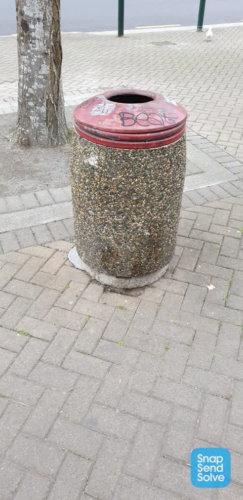
 Graffiti,
Rubbish bin outside Canterbury museum
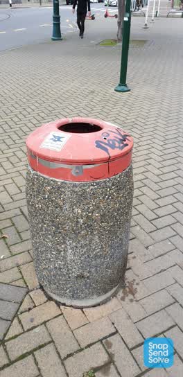 Graffiti,
Rubbish bin outside Canterbury museum lecture theatre
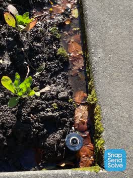 Water Leak,
The garden watering system
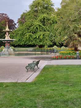 Parks,
The sprinkler head is damaged and not working as it should. Flooding the surrounding area. This photo was taken on Thursday 13JAN at approxi
 Roading/Streets,
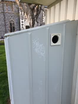 Graffiti,
Next to the peacock fountain plaque
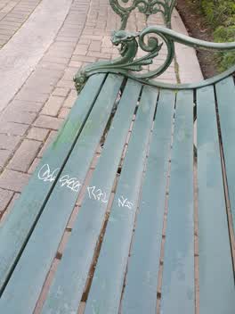 Graffiti,
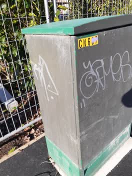 Graffiti,
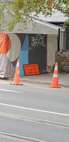 Graffiti,
security fence opposite museum lecture theatre
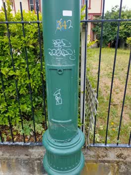 Graffiti,
Roading/Streets,
Sign down
Also reported on Rolleston Avenue
- 7 Rolleston Avenue, 124 reports
- 57 Rolleston Avenue, 66 reports
- 52 Rolleston Avenue, 50 reports
- 64 Rolleston Avenue, 43 reports
- 26 Rolleston Avenue, 43 reports
- 5 Rolleston Avenue, 36 reports
- 50 Rolleston Avenue, 28 reports
- 9 Rolleston Avenue, 26 reports
From the air, then
Sourced from Canterbury Maps and partners. LINZ, CC BY 3.0 NZ. Each frame is cut from Environment Canterbury’s historic imagery MapServer for that decade, only where the Footprints layer names a CC BY survey (NZAM-covered spots stay out). RetroLens holds more Crown aerials →
The street’s crash record
NZTA’s record names Rolleston Avenue in 19 crashes that hurt somebody since 2006, 2 seriously hurt, nobody killed.
The green nearby
- Botanic Gardens, you are in it · Botanic · 21 ha
- Hagley Park North, 196 m to the edge · Sports ground · 91 ha
- Armagh Reserve, 277 m to the edge
- Cranmer Square, 349 m to the edge · Botanic · 2 ha
- Nurses Memorial Chapel, 409 m to the edge · Botanic
Parks within half a kilometre, measured to the boundary, the council’s open data.
The civic shelf nearby
- Rolleston Avenue, 83 m away · Car park
- Christchurch Hospital Grounds, 337 m away · Car park
- Civic Offices, 354 m away · Council office
- Scales, 380 m away · Car park
Libraries, halls and the rest within half a kilometre, the council’s open data.
On the doorstep
- Christchurch Hop On Hop Off Tour, 14 m away · Attractions
- Discover Christchurch Tour, 14 m away · Attractions
- Guided City Walks - Christchurch, 16 m away · Attractions
- Christchurch Rebuild Tour, 20 m away · Attractions
Businesses within four hundred metres, measured at the pin: OpenStreetMap and the council directories.
The bus nearby
- Rolleston Ave near Gloucester St, 110 m away · route 8
- Rolleston Ave near Gloucester St, 185 m away · route 8
The closest Metro stops, within four hundred and fifty metres.
The tracks through here
- Walk and bike track through Christchurch Central City, 26 m to the line · walk · bike
- Walk and bike track through Christchurch Central City, 56 m to the line · walk · bike
- Walk and bike track through Christchurch Central City, 170 m to the line · walk · bike
- Walk and bike track through Christchurch Central City, 238 m to the line · walk · bike
- Walk and bike track through Christchurch Central City, 265 m to the line · walk · bike
Tracks whose line passes within half a kilometre, measured to the line itself, the council’s open data.
The named ground
Named water within 500 m of this address, measured to the line or the edge; Named places within 1.5 km of this address; the council’s own structure register, bridges, boardwalks and steps standing nearby, the open map’s record.
The remembered names nearby
- Botanic Gardens, 10 m away ·
BOTANIC GARDENS / THIS FENCE, ERECTED TO COMMEMORATE THE CENTENARY OF THE BOTANIC GARDENS
· 2004 - Botanic Gardens, 17 m away ·
BOTANIC GARDENS / ADMINISTERED BY THE CHRISTCHURCH DOMAINS BOARD UNTIL 1946 AND SINCE BY T
· 2004 - Christchurch Botanic Gardens - Donated by Llewellyn, 22 m away ·
CHRISTCHURCH BOTANIC GARDENS - DONATED BY LLEWELLYN J MITCHELL
· 1998
Inscribed plaques within two hundred and fifty metres, the register’s pins, not surveyed spots. The whole roll is at /plaques.
Renting nearby
new bonds in Christchurch Central City ran about $508 a week, $42 below the city median of $550, the suburb page keeps the rent record →.
What was here, Rolleston Statue and Setting
23 m away · located to ±3 m · the place’s own record →
On the register. Nothing researched here yet.
What was here, College Hall and Setting
36 m away · 50 Rolleston Avenue · located to ±17 m · the place’s own record →
On the register. Nothing researched here yet.
What was here, Canturbery Museum and Setting
38 m away · 11 Rolleston Avenue · located to ±34 m · the place’s own record →
On the register. Nothing researched here yet.
What was here, Classics Building and Setting
44 m away · 50 Rolleston Avenue · located to ±11 m · the place’s own record →
On the register. Nothing researched here yet.
What was here, Canterbury Museum Centennial Wing Facade
53 m away · located to ±11 m · the place’s own record →
On the register. Nothing researched here yet.
The civic layer
This ground votes in Central ward, the Papanui-Innes-Central community board. Ward lines don’t always follow suburb lines; this one is measured at the pin, not the suburb’s centre.
What stood on this ground → · On the map → · From the air, the Crown’s aerials back to 1936; search the address on RetroLens →
Questions, answered briefly
34 council reports on record since September 2018, most often graffiti (11), graffiti on a fence, building or structure (3), water leak (2).
Christchurch Central City, Christchurch, on Rolleston Avenue.
The heritage register names 5 places at or beside it, Rolleston Statue and Setting, College Hall and Setting.
Botanic Gardens, the address is inside it, 21 ha.