155 Worcester Street, Christchurch Central City
16 reports on record since March 2018 · 15 with photographs. The street’s heaviest record is 142 Worcester Street — 103 reports on file. Indicative rating valuation and school zones, hazards, bin day and what stood here before.
What gets reported here
- Graffiti — 9
- Parks — 3
- Roading/Streets — 2
- Graffiti on a fence, building or structure — 1
- General Request — 1
Photographed here 15 on record
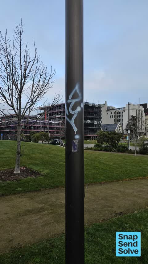

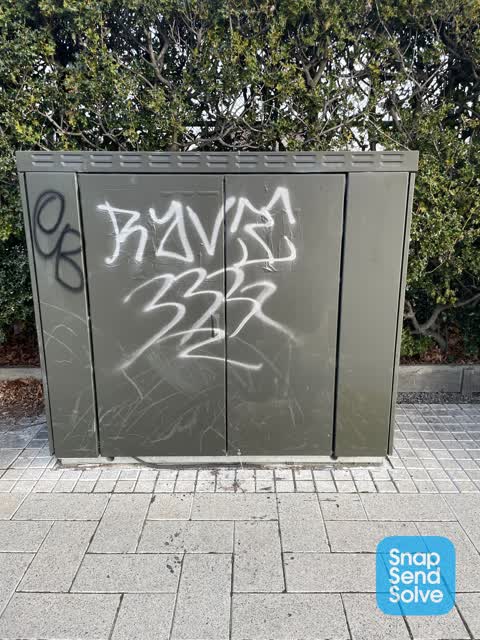
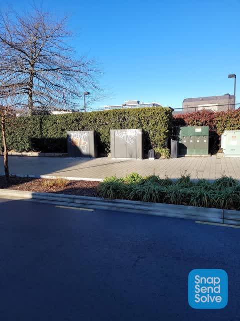
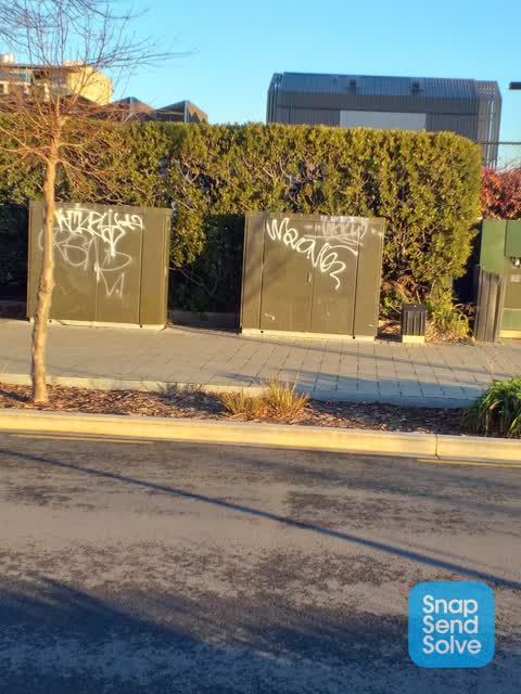
Reported here
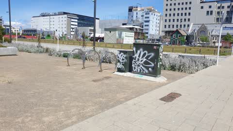
 Graffiti on a fence, building or structure —
 General Request —
- Graffiti —
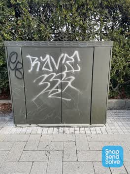 Graffiti —
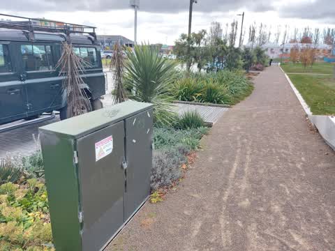
Graffiti on the electrical boxes.
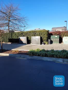 Graffiti —
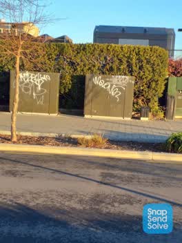 Graffiti —
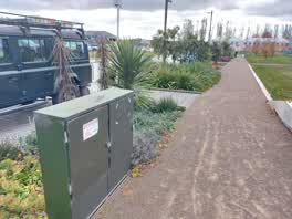 Graffiti —
Tagging on Orion box in Rauora Park near Worcester St
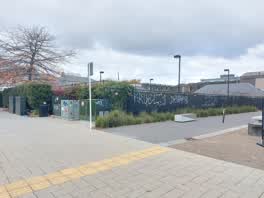 Graffiti —
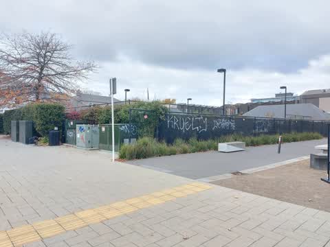
Graffiti on fencing of The Christchurch Club
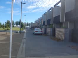 Roading/Streets —
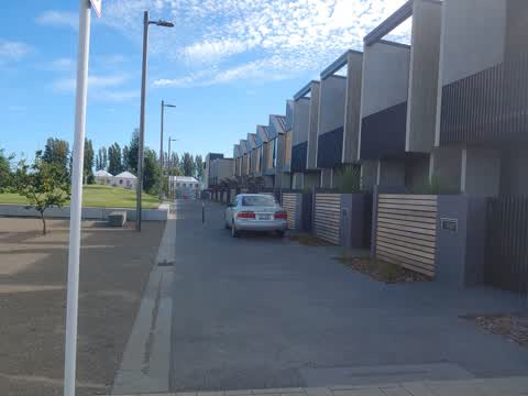
Car parked on shared path. Cars often park illegally here, needs better enforcement
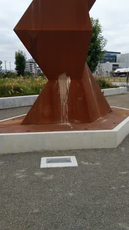 Graffiti —
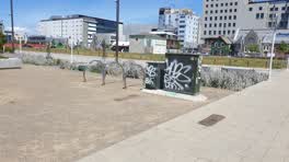 Graffiti —
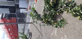 Parks —
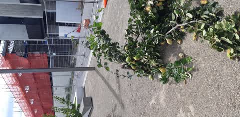
Broken fruit tree
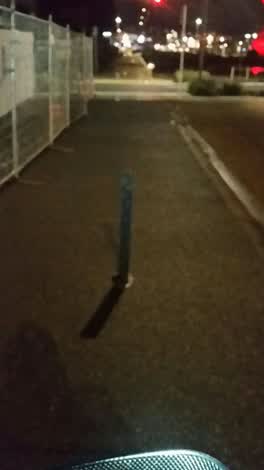 Roading/Streets —
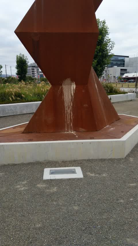
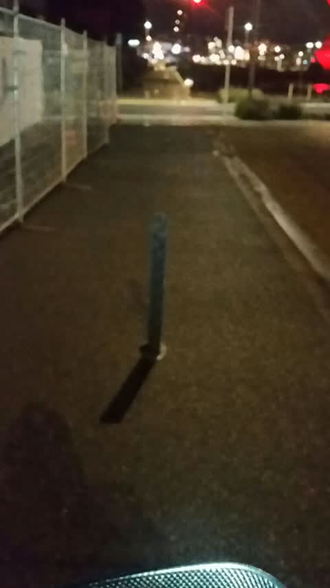
This bollard is really easy to miss at night, blends on really well with grey pavement. Could we get some heavy duty reflective tape (or som
Parks —
broken sprinkler
Graffiti —
Parks —
Glass on the pathway
Also reported on Worcester Street
- 142 Worcester Street — 103 reports
- 3 Worcester Street — 78 reports
- 78 Worcester Street — 69 reports
- 67 Worcester Street — 60 reports
- 138 Worcester Street — 60 reports
- 151 Worcester Street — 50 reports
- 40 Worcester Street — 40 reports
- 154 Worcester Street — 34 reports
The street’s crash record
NZTA’s record names Worcester Street in 64 crashes that hurt somebody since 2006 — 9 seriously hurt, nobody killed.
The green nearby
- Latimer Square — 105 m to the edge · Botanic · 2 ha
- Cathedral Square — 257 m to the edge · Botanic
- Edmonds Band Rotunda — 322 m to the edge · Botanic
- City Mall — 335 m to the edge
- Poplars Reserve — 352 m to the edge · Botanic
Parks within half a kilometre, measured to the boundary — the council’s open data.
The civic shelf nearby
- Turanga Library — 302 m away · Library · Cathedral Square, Christchurch
- Triangle — 380 m away · Car park
Libraries, halls and the rest within half a kilometre — the council’s open data.
On the doorstep
- Cathedral Square Market — 72 m away · Markets
- Christchurch Club — 80 m away · Clubs
- Christchurch Central City Apartment — 94 m away · Apartments
- Purple Dragon Noodles Food Cart — 115 m away · Fast food
Businesses within four hundred metres, measured at the pin — OpenStreetMap and the council directories.
The bus nearby
- Manchester St Super Stop — 90 m away · route 1, route 5, route 7, route 8, route 27, route 29, route 44, route 86, route 91, route 92, route 95
- Gloucester St near Latimer Square — 100 m away · route 5, route 7
The closest Metro stops, within four hundred and fifty metres.
The tracks through here
- Walk and bike track through Christchurch Central City — 26 m to the line · walk · bike
- Walk and bike track through Christchurch Central City — 99 m to the line · walk · bike
- Walk and bike track through Christchurch Central City — 216 m to the line · walk · bike
- Walk and bike track through Christchurch Central City — 260 m to the line · walk · bike
- Walk and bike track through Christchurch Central City — 291 m to the line · walk · bike
Tracks whose line passes within half a kilometre, measured to the line itself — the council’s open data.
The named ground
Named water within 500 m of this address, measured to the line or the edge; Named places within 1.5 km of this address; the council’s own structure register — bridges, boardwalks and steps standing nearby — the open map’s record.
The remembered names nearby
- In Memory of / Jaime Robert McDowell Gilbert — 111 m away ·
IN MEMORY OF / JAIME ROBERT MCDOWELL GILBERT / WHO LOST HIS LIFE / AT THIS LOCATION IN THE
· 2018 - Afac — 195 m away ·
afac / (dedication text illegible – backlit)
· 2013 - Margaret Mahy Family Playground — 250 m away ·
MARGARET MAHY FAMILY PLAYGROUND / Officially opened on 22 December 2015 by / Elsie Mahy /
· 2017
Inscribed plaques within two hundred and fifty metres — the register’s pins, not surveyed spots. The whole roll is at /plaques.
Renting nearby
new bonds in Christchurch Central City ran about $508 a week — $42 below the city median of $550 — the suburb page keeps the rent record →.
What was here — Christchurch Club and Setting
69 m away · 154 Worcester Street · located to ±16 m · the place’s own record →
On the register. Nothing researched here yet.
What was here — Former Trinity Congregational Church and Setting
130 m away · 124 Worcester Street · located to ±14 m · the place’s own record →
On the register. Nothing researched here yet.
What was here — Shands Emporium: Former Commercial Building
132 m away · 217 Manchester Street · located to ±6 m · the place’s own record →
On the register. Nothing researched here yet.
What was here — Latimer Square and Setting
147 m away · located to ±119 m · the place’s own record →
On the register. Nothing researched here yet.
What was here — Commercial Building and Setting, Former State Insurance
149 m away · 58/28 Cathedral Square · located to ±28 m · the place’s own record →
On the register. Nothing researched here yet.
The civic layer
This ground votes in Central ward — the Papanui-Innes-Central community board. Ward lines don’t always follow suburb lines; this one is measured at the pin, not the suburb’s centre.
What stood on this ground → · On the map → · From the air — the Crown’s aerials back to 1936; search the address on RetroLens →
Questions, answered briefly
16 council reports on record since March 2018 — most often graffiti (9), parks (3), roading/streets (2).
Christchurch Central City, Christchurch — on Worcester Street.
The heritage register names 5 places at or beside it — Christchurch Club and Setting, Former Trinity Congregational Church and Setting.
Latimer Square — 105 m to its edge, 2 ha.