221 Oxford Terrace, Christchurch Central City
21 reports on record since January 2021 · 17 with photographs. The street’s heaviest record is 159 Oxford Terrace — 180 reports on file. Indicative rating valuation and school zones, hazards, bin day and what stood here before.
What gets reported here
- Graffiti — 14
- Street Light Outage — 2
- Rubbish/Recycling — 1
- Parks — 1
- General - Abandoned Trolley — 1
- Fallen Tree — 1
Photographed here 17 on record

Reported here
- Graffiti —
- Facility - General Request —
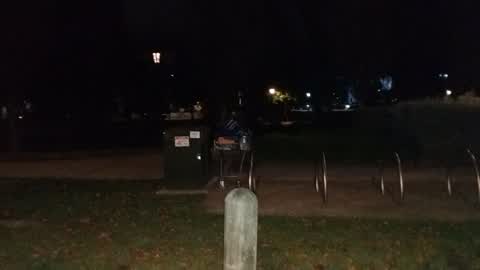
- General - Abandoned Trolley —
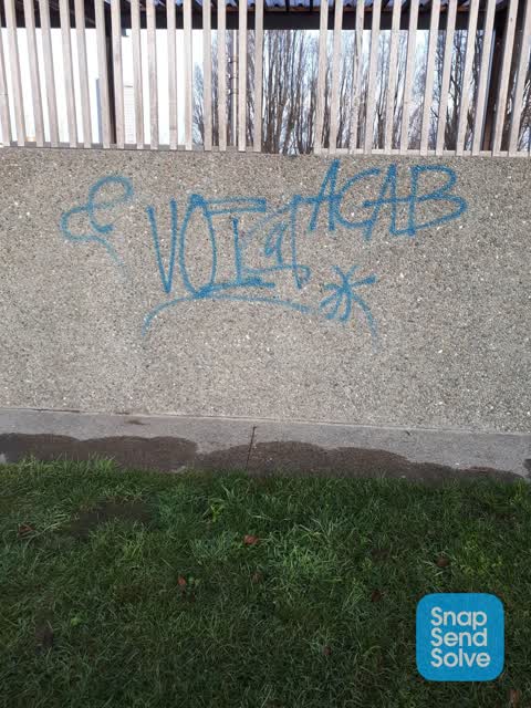
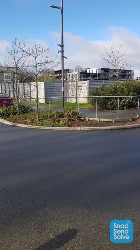
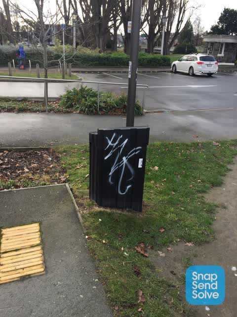
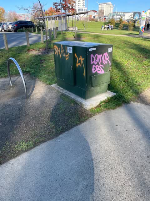
 Graffiti —
Central city team cannot remove this
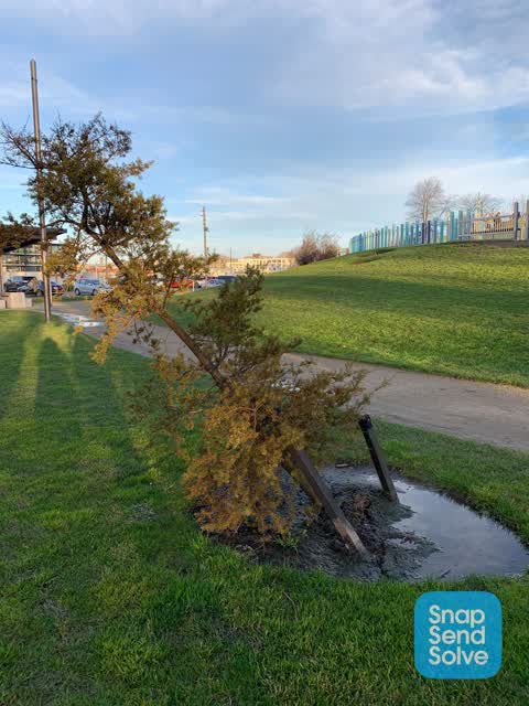
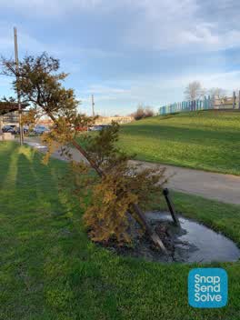 Fallen Tree —
This tree is not yet fallen but very well may do if someone doesn’t attend to it soon. Save the tree!
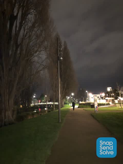
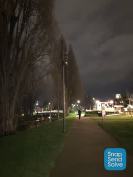 Street Light Outage —
Lights are out on this pole. Has a camera on it
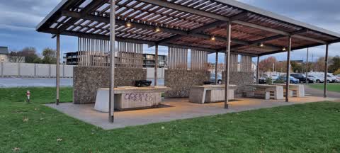
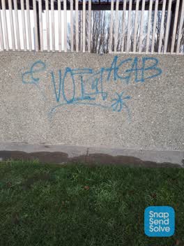 Graffiti —
At margret mayhe playground at the bbq
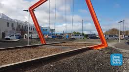 Graffiti —
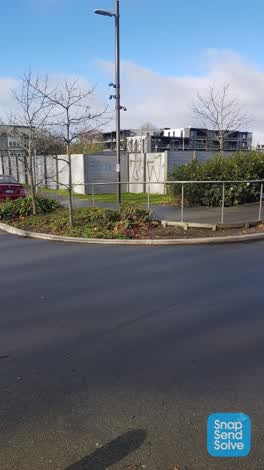 Graffiti —
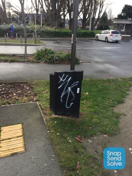 Graffiti —
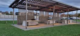 Graffiti —
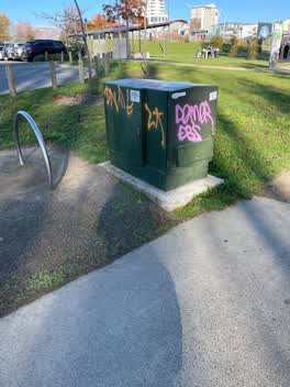 Graffiti —
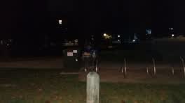 Graffiti —
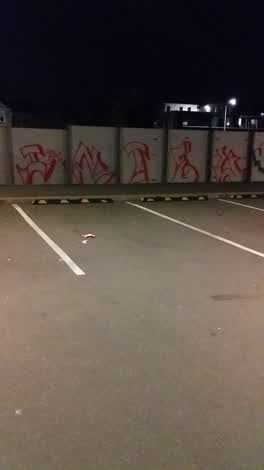 Graffiti —
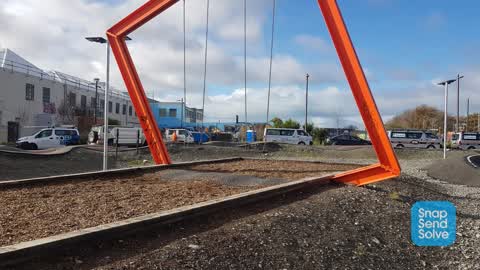
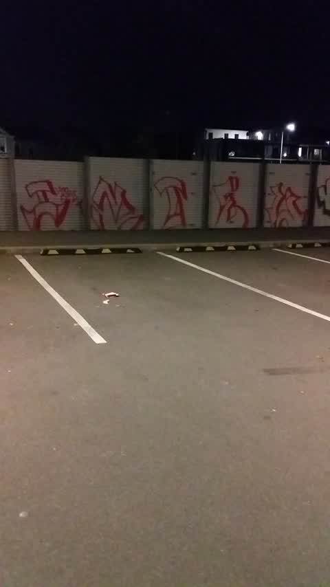
car park wall at Margaret mahy playground
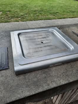 Parks —
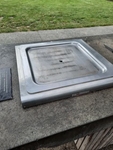
Bbq 1 not working
- Street Light Outage —
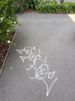 Graffiti —
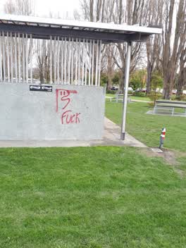 Graffiti —
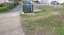 Graffiti —
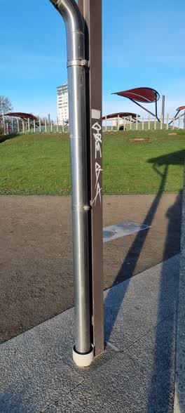 Graffiti —
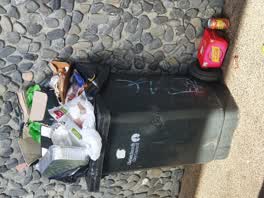 Rubbish/Recycling —
bins at margaret mahy Park BBQ area are always overfull.
Also reported on Oxford Terrace
- 159 Oxford Terrace — 180 reports
- 153 Oxford Terrace — 174 reports
- 95 Oxford Terrace — 126 reports
- 211 Oxford Terrace — 125 reports
- 182 Oxford Terrace — 122 reports
- 184 Oxford Terrace — 109 reports
- 294 Oxford Terrace — 92 reports
- 152 Oxford Terrace — 87 reports
The street’s crash record
NZTA’s record names Oxford Terrace in 56 crashes that hurt somebody since 2006 — 1 person killed, 11 seriously hurt.
The green nearby
- Poplars Reserve — 21 m to the edge · Botanic
- Cambridge Reserve — 76 m to the edge
- Fire Fighters Reserve — 126 m to the edge
- Edmonds Band Rotunda — 172 m to the edge · Botanic
- Latimer Square — 244 m to the edge · Botanic · 2 ha
Parks within half a kilometre, measured to the boundary — the council’s open data.
The civic shelf nearby
- Turanga Library — 444 m away · Library · Cathedral Square, Christchurch
Libraries, halls and the rest within half a kilometre — the council’s open data.
On the doorstep
- Christchurch Sea Kayaking — 20 m away · Attractions
- Kea Coffee Cafe Cart — 66 m away · Cafés
- Margaret Mahy Family Playground — 78 m away · Attractions
- Pillars Cafe — 116 m away · Cafés
Businesses within four hundred metres, measured at the pin — OpenStreetMap and the council directories.
The bus nearby
- Manchester St near Kilmore St — 216 m away · route 44, route 91, route 92
- Gloucester St near Latimer Square — 223 m away · route 5, route 7
The closest Metro stops, within four hundred and fifty metres.
The tracks through here
- Walk and bike track through Christchurch Central City — 20 m to the line · walk · bike
- Walk and bike track through Christchurch Central City — 83 m to the line · walk · bike
- Walk and bike track through Christchurch Central City — 110 m to the line · walk · bike
- Walk and bike track through Christchurch Central City — 137 m to the line · walk · bike
- Walk and bike track through Christchurch Central City — 156 m to the line · walk · bike
Tracks whose line passes within half a kilometre, measured to the line itself — the council’s open data.
The named ground
Named water within 500 m of this address, measured to the line or the edge; Named places within 1.5 km of this address; the council’s own structure register — bridges, boardwalks and steps standing nearby — the open map’s record.
The remembered names nearby
- ANZCO Foods — 17 m away ·
ANZCO FOODS / Donated for the people of Canterbury to enjoy, following fundraising by ANZC
· 2017 - Heritage Christchurch Edmonds’ Telephone Cabinet Presented — 48 m away ·
HERITAGE CHRISTCHURCH Edmonds’ Telephone Cabinet Presented 1929 Architect H. Francis Willi
· 2009 - H. Francis Willis — 70 m away ·
H. FRANCIS WILLIS. RENNELL BROS / ARCHITECT BUILDERS / W T TRETHEWEY / SCULPTOR
· 2009
Inscribed plaques within two hundred and fifty metres — the register’s pins, not surveyed spots. The whole roll is at /plaques.
Renting nearby
new bonds in Christchurch Central City ran about $508 a week — $42 below the city median of $550 — the suburb page keeps the rent record →.
What was here — Poplars, Lamp Standards and Setting
on this spot · located to ±139 m · the place’s own record →
On the register. Nothing researched here yet.
What was here — Edmonds Clock Tower, Telephone Cabinet and Setting
61 m away · 295F Madras Street · located to ±15 m · the place’s own record →
On the register. Nothing researched here yet.
What was here — Dwellings and Setting
101 m away · 86 Chester Street East · located to ±15 m · the place’s own record →
On the register. Nothing researched here yet.
What was here — Dwellings and Setting
147 m away · 100 Chester Street East · located to ±13 m · the place’s own record →
On the register. Nothing researched here yet.
What was here — Former MED Converter Station and Substation
153 m away · 102/210 Armagh Street · located to ±30 m · the place’s own record →
On the register. Nothing researched here yet.
The civic layer
This ground votes in Central ward — the Papanui-Innes-Central community board. Ward lines don’t always follow suburb lines; this one is measured at the pin, not the suburb’s centre.
What stood on this ground → · On the map → · From the air — the Crown’s aerials back to 1936; search the address on RetroLens →
Questions, answered briefly
21 council reports on record since January 2021 — most often graffiti (14), street light outage (2), rubbish/recycling (1).
Christchurch Central City, Christchurch — on Oxford Terrace.
The heritage register names 5 places at or beside it — Poplars, Lamp Standards and Setting, Edmonds Clock Tower, Telephone Cabinet and Setting.
Poplars Reserve — 21 m to its edge.