316 Montreal Street, Christchurch Central City
14 reports on record since December 2015 · 12 with photographs. The street’s heaviest record is 310 Montreal Street — 49 reports on file. Indicative rating valuation and school zones, hazards, bin day and what stood here before.
What gets reported here
Photographed here 12 on record


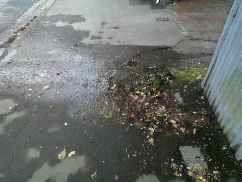
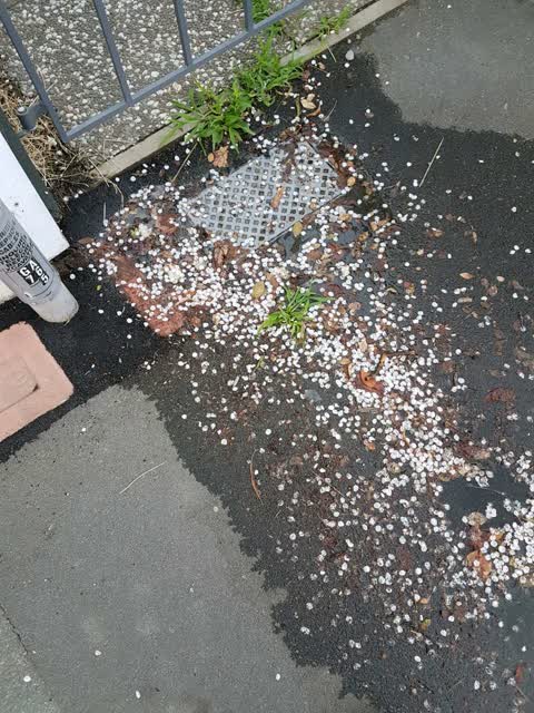
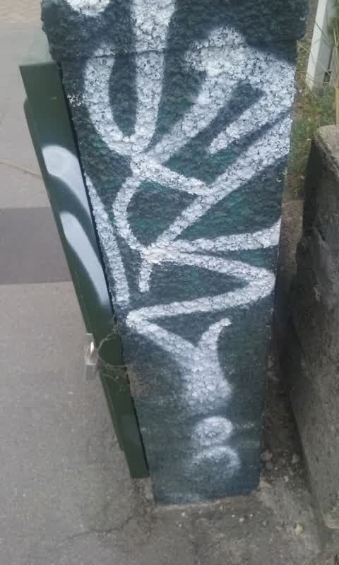
Reported here
 Graffiti on a fence, building or structure —
Tag/graffiti on this structure, wasn’t sure whose asset this is.
 Pavement - Damaged —
 Pavement - Damaged —
Paver has heavily chipped corner creating significant trip hazard.
 Litter —
Broken glass on path
 Pavement - Damaged —
 Street Gutters / Storm Water —
Damaged pipe and missing kerb in disabled parking space.
 Graffiti on a fence, building or structure —
Graffiti on a fence
 Road Signage —
Disability park outside art gallery The tree is covering the sign. Luckily I knew it was here.
 Public Toilet —
This tap has been in this state for months. Time to fix it. It’s inside the ladies toilets in The Thirsty Peacock restaurant at that Art Gal
- Graffiti —
- Abandoned Vehicle —
 Water Leak —
Water seeping
Water Supply —
leaking water meter
Graffiti —
Also reported on Montreal Street
- 310 Montreal Street — 49 reports
- 262 Montreal Street — 48 reports
- 245 Montreal Street — 43 reports
- 325 Montreal Street — 39 reports
- 248 Montreal Street — 35 reports
- 327 Montreal Street — 34 reports
- 208 Montreal Street — 32 reports
- 338 Montreal Street — 30 reports
The street’s crash record
NZTA’s record names Montreal Street in 118 crashes that hurt somebody since 2006 — 18 seriously hurt, nobody killed.
The green nearby
- Cranmer Square — 201 m to the edge · Botanic · 2 ha
- Scott Statue Reserve — 234 m to the edge · Botanic
- Canterbury Provincial Council Reserve — 258 m to the edge · Botanic
- Botanic Gardens — 271 m to the edge · Botanic · 21 ha
- Armagh Reserve — 287 m to the edge
Parks within half a kilometre, measured to the boundary — the council’s open data.
The civic shelf nearby
- Civic Offices — 167 m away · Council office
- Rolleston Avenue — 220 m away · Car park
- Armagh St — 283 m away · Car park
- Scales — 329 m away · Car park
- Aldersgate — 343 m away · Car park
Libraries, halls and the rest within half a kilometre — the council’s open data.
On the doorstep
- The Thirsty Peacock — 45 m away · Restaurants
- Christchurch Art Gallery Te Puna O Waiwhetu Design Store — 46 m away · Business
- Christchurch Art Gallery Te Puna o Waiwhetū — 52 m away · Galleries
- The Lucky Cup — 54 m away · Cafés
Businesses within four hundred metres, measured at the pin — OpenStreetMap and the council directories.
The bus nearby
- Hereford St near Montreal St — 169 m away · route 8
- Hereford St near Montreal St — 184 m away · route 8
The closest Metro stops, within four hundred and fifty metres.
The tracks through here
- Walk and bike track through Christchurch Central City — 60 m to the line · walk · bike
- Walk and bike track through Christchurch Central City — 72 m to the line · walk · bike
- Walk and bike track through Christchurch Central City — 186 m to the line · walk · bike
- Walk and bike track through Christchurch Central City — 189 m to the line · walk · bike
- Walk and bike track through Christchurch Central City — 205 m to the line · walk · bike
Tracks whose line passes within half a kilometre, measured to the line itself — the council’s open data.
The named ground
Named water within 500 m of this address, measured to the line or the edge; Named places within 1.5 km of this address; the council’s own structure register — bridges, boardwalks and steps standing nearby — the open map’s record.
The remembered names nearby
- Avon Riverbank Central City plaque — 190 m away ·
(no text found)
· 2000 - Avon Riverbank Central City plaque — 190 m away ·
(illegible – inscription panel at memorial)
- Rugby Football Was First Played in Cranmer Square — 201 m away ·
Rugby football was first played in Cranmer Square by the Christchurch Football Club in 186
· 2003
Inscribed plaques within two hundred and fifty metres — the register’s pins, not surveyed spots. The whole roll is at /plaques.
Renting nearby
new bonds in Christchurch Central City ran about $508 a week — $42 below the city median of $550 — the suburb page keeps the rent record →.
What was here — Dwelling and Setting
37 m away · 311 Montreal Street · located to ±12 m · the place’s own record →
On the register. Nothing researched here yet.
What was here — Dwelling and Setting, Orari
59 m away · 40 Gloucester Street · located to ±19 m · the place’s own record →
On the register. Nothing researched here yet.
What was here — Registry and Setting
78 m away · 40 Worcester Street · located to ±13 m · the place’s own record →
On the register. Nothing researched here yet.
What was here — Dwellings and Setting, Mildenhall
113 m away · 7/53 Gloucester Street · located to ±23 m · the place’s own record →
On the register. Nothing researched here yet.
What was here — Former CSA / CoCA Gallery and Setting
116 m away · 66 Gloucester Street · located to ±22 m · the place’s own record →
On the register. Nothing researched here yet.
The civic layer
This ground votes in Central ward — the Papanui-Innes-Central community board. Ward lines don’t always follow suburb lines; this one is measured at the pin, not the suburb’s centre.
What stood on this ground → · On the map → · From the air — the Crown’s aerials back to 1936; search the address on RetroLens →
Questions, answered briefly
14 council reports on record since December 2015 — most often pavement - damaged (3), graffiti on a fence, building or structure (2), graffiti (2).
Christchurch Central City, Christchurch — on Montreal Street.
The heritage register names 5 places at or beside it — Dwelling and Setting, Dwelling and Setting, Orari.
Cranmer Square — 201 m to its edge, 2 ha.