393 Montreal Street, Christchurch Central City
15 reports on record since September 2021 · 13 with photographs. The street’s heaviest record is 310 Montreal Street — 49 reports on file. Indicative rating valuation and school zones, hazards, bin day and what stood here before.
What gets reported here
Photographed here 13 on record


Reported here
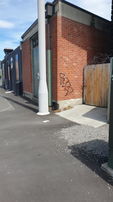
 Graffiti on a fence, building or structure —
Pink paint tag on black wooden fence facing the footpath at 393 Montreal Street.
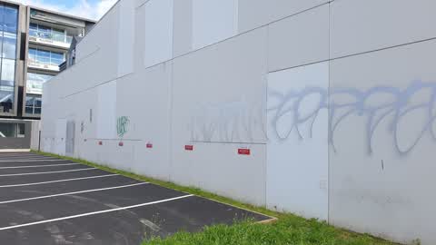
 Graffiti on a fence, building or structure —
See pic next to Orion black box
 Graffiti somewhere else —
 Graffiti on a fence, building or structure —
 Graffiti on a cabinet, pole or railway asset —
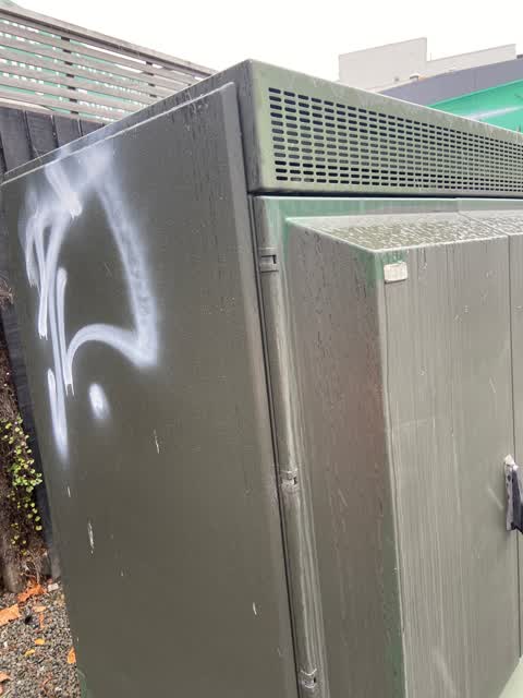
Purple paint tags on 2 sides of cabinet by 393 Montreal Street.
 Graffiti —
It is on the green box - south / north lane
- Graffiti —
- Graffiti —
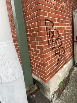 Graffiti —
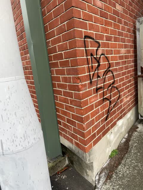
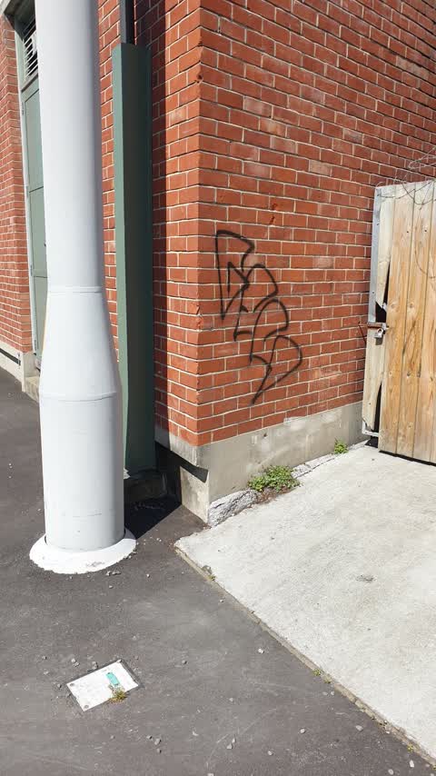
Black paint tag on Orion substation opposite 390 Montreal Street.
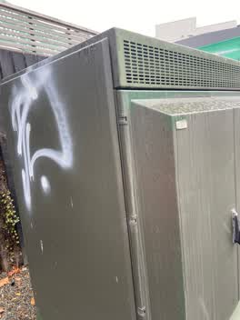 Graffiti —
White paint tag on telco cabinet opposite 390 Montreal Street.
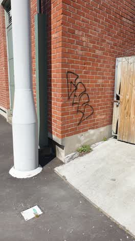 Graffiti —
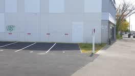 Graffiti —
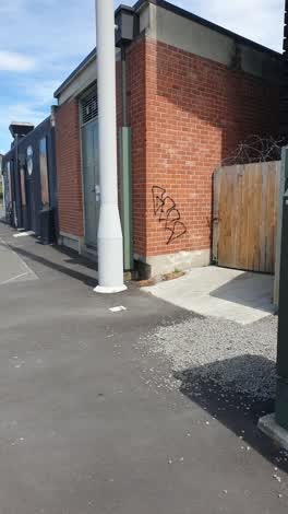 Graffiti —
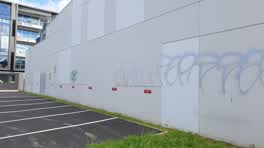 Graffiti —
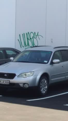 Graffiti —
Also reported on Montreal Street
- 310 Montreal Street — 49 reports
- 262 Montreal Street — 48 reports
- 245 Montreal Street — 43 reports
- 325 Montreal Street — 39 reports
- 248 Montreal Street — 35 reports
- 327 Montreal Street — 34 reports
- 208 Montreal Street — 32 reports
- 338 Montreal Street — 30 reports
The street’s crash record
NZTA’s record names Montreal Street in 118 crashes that hurt somebody since 2006 — 18 seriously hurt, nobody killed.
The green nearby
- Hagley Park North — 240 m to the edge · Sports ground · 91 ha
- Aldred Reserve — 262 m to the edge
- Victoria Triangles — 271 m to the edge
- Cranmer Square — 345 m to the edge · Botanic · 2 ha
- Carlton Mill Riverbank — 486 m to the edge
Parks within half a kilometre, measured to the boundary — the council’s open data.
On the doorstep
- Little Neighbourhood Garden Bar & Eatery — 20 m away · Bars & pubs
- Beercycle — 21 m away · Bars & pubs
- Diner 66 — 25 m away · Restaurants
- Posh Porridge — 25 m away · Cafés
Businesses within four hundred metres, measured at the pin — OpenStreetMap and the council directories.
The bus nearby
- Salisbury St near Victoria St — 122 m away · route 1, route 29, route 95
- Victoria St near Peterborough St — 199 m away · route 1, route 29, route 95
The closest Metro stops, within four hundred and fifty metres.
The tracks through here
- Walk and bike track through Christchurch Central City — 34 m to the line · walk · bike
- Walk and bike track through Christchurch Central City — 216 m to the line · walk · bike
- Walk and bike track through Christchurch Central City — 231 m to the line · walk · bike
- Walk and bike track through Christchurch Central City — 246 m to the line · walk · bike
- Walk and bike track through Christchurch Central City — 251 m to the line · walk · bike
Tracks whose line passes within half a kilometre, measured to the line itself — the council’s open data.
The named ground
Named water within 500 m of this address, measured to the line or the edge; Named places within 1.5 km of this address; the council’s own structure register — bridges, boardwalks and steps standing nearby — the open map’s record.
The remembered names nearby
- Victoria Triangles plaque — 130 m away · 2014
- Diamondjubilee / 1837 - 1897 — 130 m away ·
DiamondJubilee / 1837 - 1897
· 2009 - Erected by Citizens / of Christchurch — 130 m away ·
Erected by Citizens / of Christchurch, N.Z / in commemoration of the / Diamond Jubilee of
· 2009
Inscribed plaques within two hundred and fifty metres — the register’s pins, not surveyed spots. The whole roll is at /plaques.
Renting nearby
new bonds in Christchurch Central City ran about $508 a week — $42 below the city median of $550 — the suburb page keeps the rent record →.
What was here — Dwelling and Setting
75 m away · 402 Montreal Street · located to ±7 m · the place’s own record →
On the register. Nothing researched here yet.
What was here — Dwelling and Setting
84 m away · 404 Montreal Street · located to ±5 m · the place’s own record →
On the register. Nothing researched here yet.
What was here — Dwelling and Setting
92 m away · 406 Montreal Street · located to ±6 m · the place’s own record →
On the register. Nothing researched here yet.
What was here — Dwelling and Setting
100 m away · 2/408 Montreal Street · located to ±5 m · the place’s own record →
On the register. Nothing researched here yet.
What was here — Dwelling and Setting
108 m away · 1/2 Beveridge Street · located to ±5 m · the place’s own record →
On the register. Nothing researched here yet.
The civic layer
This ground votes in Central ward — the Papanui-Innes-Central community board. Ward lines don’t always follow suburb lines; this one is measured at the pin, not the suburb’s centre.
What stood on this ground → · On the map → · From the air — the Crown’s aerials back to 1936; search the address on RetroLens →
Questions, answered briefly
15 council reports on record since September 2021 — most often graffiti (10), graffiti on a fence, building or structure (3), graffiti somewhere else (1).
Christchurch Central City, Christchurch — on Montreal Street.
The heritage register names 5 places at or beside it — Dwelling and Setting, Dwelling and Setting.
Hagley Park North — 240 m to its edge, 91 ha.