528 Hagley Avenue
5 council reports since August 2015, 5 carrying a photograph. The street’s heaviest record is 550 Hagley Avenue, 140 reports on file.
On the register here
- Former West Christchurch School/Hagley Community College and Setting, 510E Hagley Avenue (202m)
- Nurses' Memorial Chapel and Setting, 2J Riccarton Avenue (213m)
From the air, then
Sourced from Canterbury Maps and partners. LINZ, CC BY 3.0 NZ. Each frame is cut from Environment Canterbury’s historic imagery MapServer for that decade, only where the Footprints layer names a CC BY survey (NZAM-covered spots stay out). RetroLens holds more Crown aerials →
The green nearby
- Hagley Park South, 143 m to the edge · Sports ground · 71 ha
- Nurses Memorial Chapel, 199 m to the edge · Botanic
- Hagley Park North, 265 m to the edge · Sports ground · 91 ha
- Botanic Gardens, 408 m to the edge · Botanic · 21 ha · playground, 53 pieces
Parks within half a kilometre, measured to the boundary, the council’s open data. The whole roll is at /parks.
The civic shelf nearby
- Christchurch Hospital Grounds, 314 m away · Car park
Libraries, halls and the rest within half a kilometre, the council’s open data.
On the doorstep
- Hagley Community College Pre-school, 105 m away · Business
- Canterbury Health Laboratories, 153 m away · Laboratory
- Hagley Theatre Company, 170 m away · Cinemas & theatres
- Opening March 2020: Metro Sports Facility, 210 m away · Attractions
Businesses within four hundred metres, measured at the pin, OpenStreetMap and the council directories.
The bus nearby
- Hagley Ave near Hagley High Sch, 193 m away · route 7, route 60, route 81, route 84, route 85
- Hagley Ave near Selwyn St, 210 m away · route 7, route 60, route 81
The closest Metro stops, within four hundred and fifty metres.
The tracks through here
- Walk and bike track through Christchurch Central City, 8 m to the line · walk · bike
- Walk and bike track through Christchurch Central City, 49 m to the line · walk · bike
- Walk and bike track through Christchurch Central City, 113 m to the line · walk · bike
- Walk and bike track through Christchurch Central City, 175 m to the line · walk · bike
- Walk and bike track through Christchurch Central City, 254 m to the line · walk · bike
Tracks whose line passes within half a kilometre, the council’s open data.
The named ground
Named water within 500 m of this address, measured to the line or the edge; Named places within 1.5 km of this address; the council’s own structure register, bridges, boardwalks and steps standing nearby, the open map’s record.
The remembered names nearby
- Hagley Park South plaque, 176 m away · 2009
- This Stone Was Laid by Her Royal Highness the Duchess, 202 m away ·
This stone was laid by Her Royal Highness The Duchess of York 15th March 1927
· 2000 - Christchurch Hospital Nursing Class April 1954 Reunion 2004, 209 m away ·
Christchurch Hospital Nursing Class April 1954 Reunion 2004 Special Friendship Bonds Remai
· 2000
Inscribed plaques within two hundred and fifty metres, the register’s pins, not surveyed spots. The whole roll is at /plaques.
Renting nearby
new bonds in Christchurch Central City ran about $508 a week, $42 below the city median of $550, the suburb page keeps the rent record →.
What gets reported here
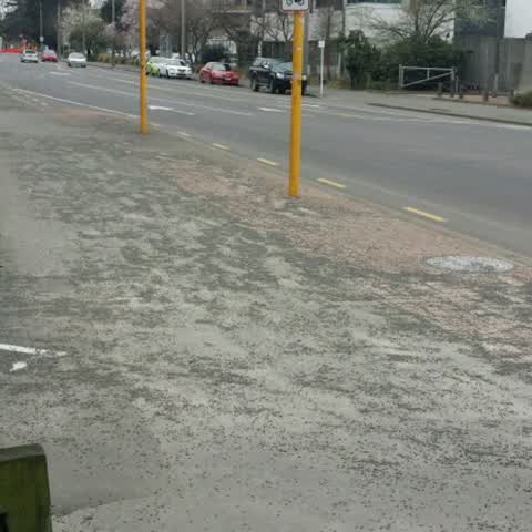
Photographed here 5 on record
What’s on record
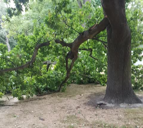
Parks, 12 Feb 2020
Fallen branch.
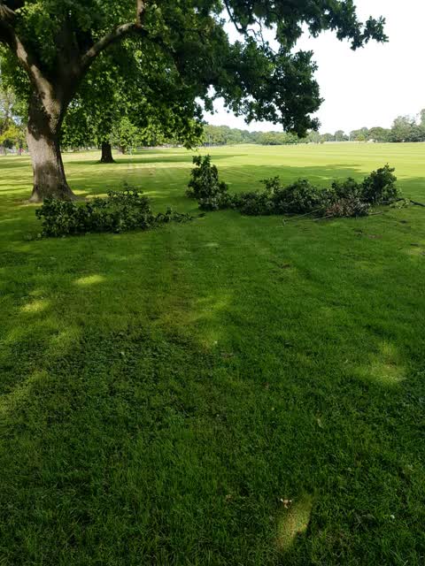
Parks, 21 Jan 2019
Broken branches for removal
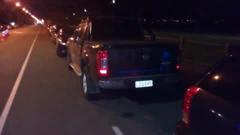
Roading/Streets, 28 Jul 2018
Parked facing the wrong way
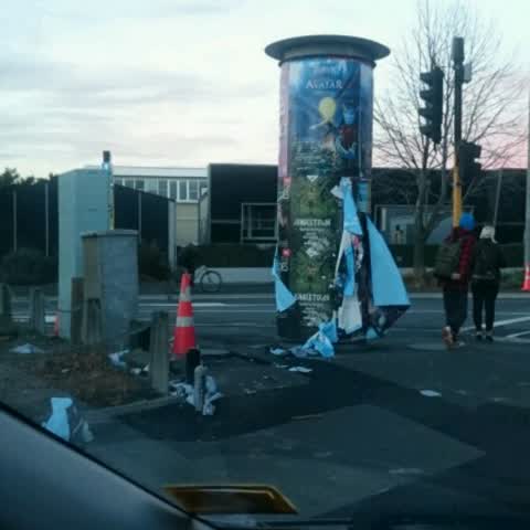
Rubbish/Recycling, 24 Jul 2017
The posters have come off the column and are all over the ground, and some have made their way to the drain.
Roading/Streets, 28 Aug 2015
So, weeks after gravel was spread on the streets when we had a really icy morning, it still hasn't been cleaned up from adjacent paths and c
Elsewhere on Hagley Avenue
- 550 Hagley Avenue, 140 reports
- 510 Hagley Avenue, 100 reports
- 455 Hagley Avenue, 54 reports
- 420 Hagley Avenue, 35 reports
- 445 Hagley Avenue, 34 reports
- 510A Hagley Avenue, 31 reports
- 480–488 Hagley Avenue, 29 reports
- 478 Hagley Avenue, 24 reports
The street’s crash record
NZTA’s record names Hagley Avenue in 52 crashes that hurt somebody since 2006, 13 seriously hurt, nobody killed.
The civic layer
This ground votes in Central ward, the Papanui-Innes-Central community board is its local layer. Ward lines don’t always follow suburb lines; this one is measured at the pin, not the suburb’s centre. The whole roll is at /wards.
Hagley Avenue, the whole record → · Everything about Christchurch Central City → · What stood on this ground → · On the map → · From the air, RetroLens holds the Crown’s aerials back to 1936; search the address there →
Questions, answered briefly
5 council reports on record since August 2015, most often roading/streets (2), parks (2), rubbish/recycling (1).
Christchurch Central City, Christchurch, on Hagley Avenue.
The heritage register names 2 places at or beside it, Former West Christchurch School/Hagley Community College and Setting, Nurses' Memorial Chapel and Setting.
Hagley Park South, 143 m to its edge, 71 ha.