96 Oxford Terrace, Christchurch Central City
66 reports on record since February 2019 · 48 with photographs. The street’s heaviest record is 159 Oxford Terrace — 180 reports on file. Indicative rating valuation and school zones, hazards, bin day and what stood here before.
What gets reported here
Photographed here 48 on record





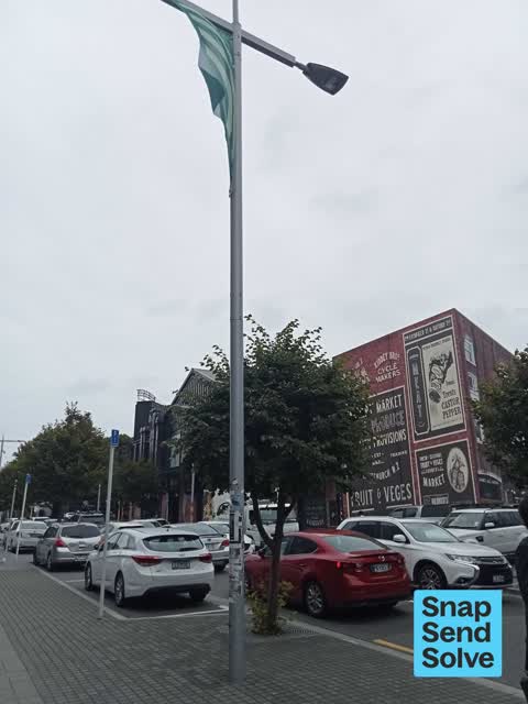
Reported here
 Damaged Road —
broken pavement
 Water Leak —
water more as day goes on. in friendship park & Riverside Market along line of seating
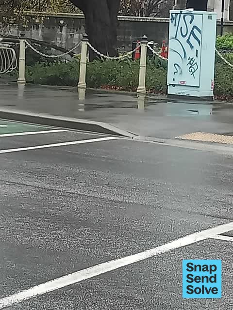
 Graffiti on a traffic light pole or cabinet, or wa —
graffiti on traffic control cabinet nearby
 Graffiti on a fence, building or structure —
graffiti on ccc cabinet
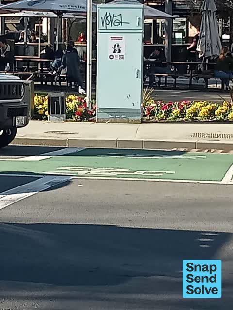
 Graffiti on a traffic light pole or cabinet, or wa —
graffiti on traffic control cabinet nearby
 Poles and Signage - General —
sign damaged remaining pole in ground created trip hazard
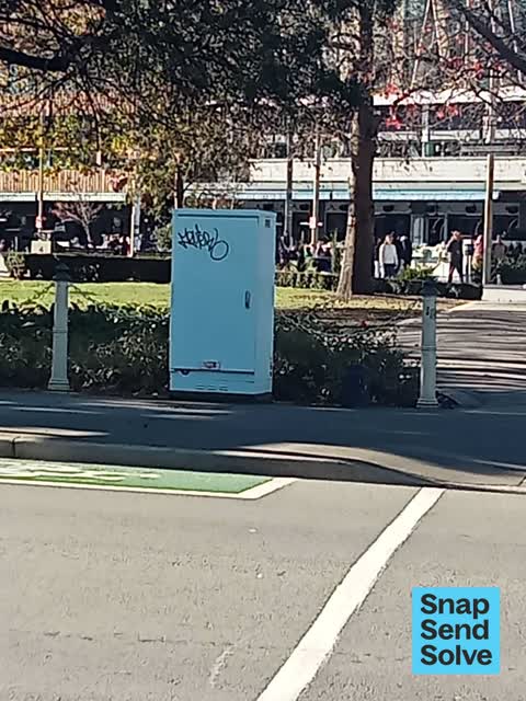
 Graffiti on a traffic light pole or cabinet, or wa —
graffiti on traffic control cabinet nearby
 Road Signage —
there is a long standing and dangerous issue of motorists driving around the traffic island and proceeding along Oxford terrace, crossing pa
- Damaged Street Sign —
The ineffectual left turn only sign has been run over and is lying on the footpath on the south side of the intersection by the justice prec
 Graffiti on a traffic light pole or cabinet, or wa —
graffiti on traffic control cabinet
 Poles and Signage - General —
parking pole/ sign been chopped off
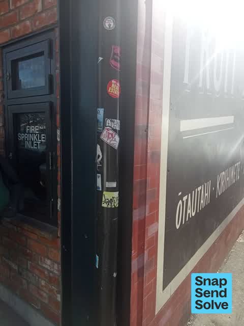
 Graffiti on a fence, building or structure —
multiple graffiti stickers on water down flow pipe corner of building
 Graffiti on a fence, building or structure —
multiple graffiti stickers on light lamp post pole
 Graffiti on a sign, mural or public art —
Black graffiti on sign
 Road Signage —
sign twisted facing the wrong way please fix so that it's visible
 Hazard — vehicle —
Parking yellow lines & blocking entrance outside Riverside market Lichfield street
 Hazard — vehicle —
Parking for at least 30mins in 5mins park & yellow lines
 Hazard — vehicle —
Parking garage yellow lines & in 5 min park for 30mins
 Hazard — vehicle —
Parking for over 30mins in 5min park
 Hazard — vehicle —
Parked yellow lines blocking access to building/ roller door
 Hazard — vehicle —
Parked on yellow lines blocking access to building
 Graffiti on a traffic light pole or cabinet, or wa —
 Rubbish and Bins - General —
 Graffiti on a cabinet, pole or railway asset —
KP black paint tag on traffic controller by 96 Oxford Terrace.
- General Request —
Bird poo in Riverside Market must surely be a food and hygiene issue, the beams are covered!
 Rubbish and Bins - General —
Riverside bins full. It’s 1:55.
 Graffiti on a cabinet, pole or railway asset —
Tagging on cabinet by crossing and walkway on Durham St, near Riverside.
 Graffiti on a cabinet, pole or railway asset —
 Graffiti on a cabinet, pole or railway asset —
 Graffiti somewhere else —
 Graffiti somewhere else —
Near riverside market
 Graffiti somewhere else —
 Graffiti somewhere else —
Seats outside cosmic
 Rubbish and Bins - General —
Riverside bins are beyond full.
 Graffiti —
Illegally placed bills on all lamp posts along the length of Lichfield Street, Montreal Street, Durham Street, and Cashel Street. Featurin
 Road Signage —
Road signage cut down unenforceable p10 loading zone
 Pavement - General —
Seat outside Riverside on gravel. When it blows as in today dust everywhere. Noy very pleasant. Needs sealing
 Graffiti —
In front of riverside
 Rubbish and Bins - General —
Overflowing bins
 Rubbish and Bins - General —
Bins outside riverside market need emptying
- Street Gutters / Storm Water —
- Rubbish and Bins - General —
- Facility - General Request —
- Vandalism - General —
- Graffiti —
- Poles and Signage - General —
- Graffiti —
- Graffiti —
- Rubbish and Bins - General —
- Damaged Street Sign —
- Graffiti —
- Pavement - General —
- Rubbish and Bins - General —
- Rubbish and Bins - General —
- Pavement - Damaged —
- Pit and Equipment - General —
 Graffiti —
Graffiti on traffic light control box at the corner of Lichfield Street and Cambridge Tce - outside Riverside
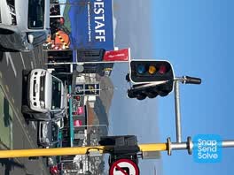 Street Light Outage —
Street light has what appears to be serious physical damage
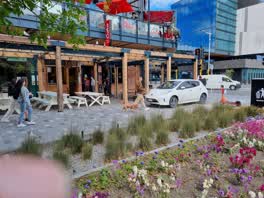 Roading/Streets —
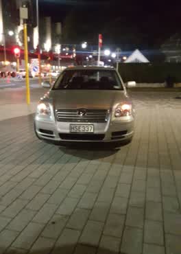 Parks —
Why is this car parking here? Uber driver or not, this is a footpath grrrrr
Roading/Streets —
Green pedestrian light is not for an intersection. Looks like it's for the road, but it's not. Green constantly
Roading/Streets —
shared space accessible route blocked. objects on the delineator when it should be clear to trail.
Graffiti —
Outside the Riverside Markets
Rubbish/Recycling —
rubbish over flowing outside market
Graffiti —
Roading/Streets —
Trip hazard
Also reported on Oxford Terrace
- 159 Oxford Terrace — 180 reports
- 153 Oxford Terrace — 174 reports
- 95 Oxford Terrace — 126 reports
- 211 Oxford Terrace — 125 reports
- 182 Oxford Terrace — 122 reports
- 184 Oxford Terrace — 109 reports
- 294 Oxford Terrace — 92 reports
- 152 Oxford Terrace — 87 reports
The street’s crash record
NZTA’s record names Oxford Terrace in 56 crashes that hurt somebody since 2006 — 1 person killed, 11 seriously hurt.
The green nearby
- Friendship Corner — 14 m to the edge · Botanic
- Tiffany Reserve — 53 m to the edge
- Bridge Of Remembrance — 81 m to the edge · Botanic
- City Mall — 264 m to the edge
- The Stewart Plaza — 301 m to the edge
Parks within half a kilometre, measured to the boundary — the council’s open data.
The civic shelf nearby
- Re:start - Lichfield St — 223 m away · Car park
- Scales — 229 m away · Car park
- Civic Offices — 291 m away · Council office
- Triangle — 309 m away · Car park
Libraries, halls and the rest within half a kilometre — the council’s open data.
On the doorstep
- Dimitris Greek Food — 12 m away · Fast food
- Herba Gourmet — 13 m away · Fast food
- Pedro's Kitchen — 13 m away · Fast food
- Cluck Cluck Slurp — 14 m away · Fast food
Businesses within four hundred metres, measured at the pin — OpenStreetMap and the council directories.
The bus nearby
- Bus Interchange (Intercity stop) — 277 m away · route 3, route 8, route 80
- Bus Interchange (Platform A) — 295 m away · route 3, route 5, route 60, route 80, route 81, route 84, route 85, route 86
The closest Metro stops, within four hundred and fifty metres.
The tracks through here
- Walk and bike track through Christchurch Central City — 4 m to the line · walk · bike
- Walk and bike track through Christchurch Central City — 24 m to the line · walk · bike
- Walk and bike track through Christchurch Central City — 33 m to the line · walk · bike
- Walk and bike track through Christchurch Central City — 149 m to the line · walk · bike
- Walk and bike track through Christchurch Central City — 277 m to the line · walk · bike
Tracks whose line passes within half a kilometre, measured to the line itself — the council’s open data.
The named ground
Named water within 500 m of this address, measured to the line or the edge; Named places within 1.5 km of this address; the council’s own structure register — bridges, boardwalks and steps standing nearby — the open map’s record.
The remembered names nearby
- The Chapel Is Open 1 Pm to 4 Pm Daily Closed Sundays — 54 m away ·
THE CHAPEL IS OPEN 1 PM TO 4 PM DAILY CLOSED SUNDAYS & CHRISTMAS DAY
· 2009 - Rose — 61 m away ·
Rose. Soroptimist International Donated and planted by Soroptimists of Christchurch To cel
· 2009 - Planted on 14th April 1983 by His Excellency Premier Zhao — 62 m away ·
PLANTED ON 14TH APRIL 1983 BY HIS EXCELLENCY PREMIER ZHAO ZIYANG OF THE PEOPLE'S REPUBLIC
· 2009
Inscribed plaques within two hundred and fifty metres — the register’s pins, not surveyed spots. The whole roll is at /plaques.
Renting nearby
new bonds in Christchurch Central City ran about $508 a week — $42 below the city median of $550 — the suburb page keeps the rent record →.
What was here — Former Dwelling and Setting
58 m away · 95 Oxford Terrace · located to ±18 m · the place’s own record →
On the register. Nothing researched here yet.
What was here — St. Michael and All Angels Church & Setting
79 m away · 90 Oxford Terrace · located to ±25 m · the place’s own record →
On the register. Nothing researched here yet.
What was here — St Michael and All Angels Church Belfry and Setting
84 m away · 90 Oxford Terrace · located to ±5 m · the place’s own record →
On the register. Nothing researched here yet.
What was here — St Michael's School Stone Building and Setting
96 m away · located to ±16 m · the place’s own record →
On the register. Nothing researched here yet.
What was here — Bridge of Remembrance and Setting
98 m away · 88 Cambridge Terrace · located to ±27 m · the place’s own record →
On the register. Nothing researched here yet.
The civic layer
This ground votes in Central ward — the Papanui-Innes-Central community board. Ward lines don’t always follow suburb lines; this one is measured at the pin, not the suburb’s centre.
What stood on this ground → · On the map → · From the air — the Crown’s aerials back to 1936; search the address on RetroLens →
Questions, answered briefly
66 council reports on record since February 2019 — most often rubbish and bins - general (9), graffiti (9), hazard — vehicle (6).
Christchurch Central City, Christchurch — on Oxford Terrace.
The heritage register names 5 places at or beside it — Former Dwelling and Setting, St. Michael and All Angels Church & Setting.
Friendship Corner — 14 m to its edge.