1005 Ferry Road, Ferrymead
25 reports on record since April 2019 · 20 with photographs. The street’s heaviest record is 982 Ferry Road — 63 reports on file. Indicative rating valuation and school zones, hazards, bin day and what stood here before.
What gets reported here
- Graffiti — 8
- Dumped Rubbish — 5
- Rubbish/Recycling — 2
- Pavement - Damaged — 2
- Overgrown Vegetation — 2
- General Request — 2
Photographed here 20 on record




Reported here
 Dumped Rubbish —
  Dumped Rubbish —
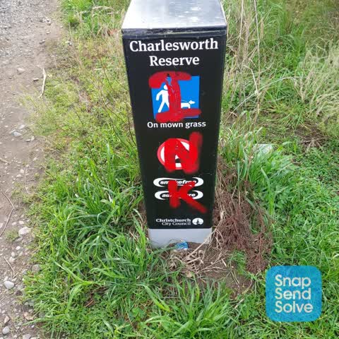
 Bollard pushed over and someone has dumped a load of rubbish
 Overgrown Vegetation —
  Graffiti on a playground or in a park —
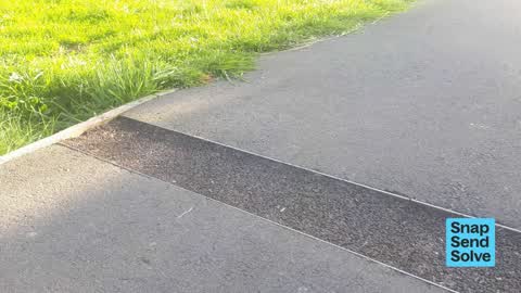
  Pavement - Damaged —
 Cycleway had 3 channels, about 40m apart, neatly cut across it several months ago. They have since been partially filled in but remain 2-3 c
 General Request —
 Please investigate a potential breach of the District Plan lux spill and glare standards from the commercial zone/buildings around Mitre 10
- Dumped Rubbish —
Microwave in a trolley at 875 ferry road
 Pavement - Damaged —
 Grates have been removed - stolen ? .. from cycle walk path in Charlesworth reserve .. dangerous hazard !
 Dumped Rubbish —
 Dumped wood and pallets in Charlesworth reserve
 Dumped Rubbish —
 Various sizes of discarded timber and pallet in reserve
 Rubbish and Bins - General —
 Our red bin wasn't on 30/9/24 the others around it were were
- Overgrown Vegetation —
- Poles and Signage - General —
- Vandalism - General —
- Graffiti —
 General Request —
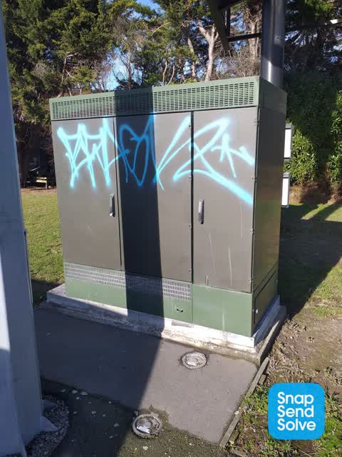
 Graffiti on power box
 Graffiti —
 At back of mitre 10 ferrymead
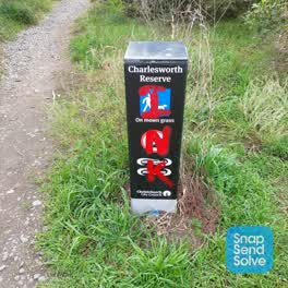 Graffiti —
 At the back of ferrymead mitre 10
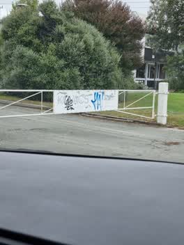 Graffiti —
 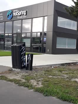 Graffiti —
 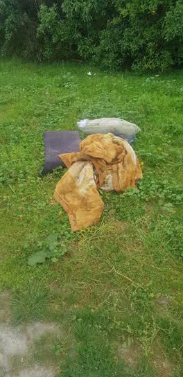 Rubbish/Recycling —
 On cycleway inside Reserve behind Mitre 10
Graffiti —
Rubbish/Recycling —
This is not safe to dispose of batteries like this. they need to be taped in case there is any charge in them, this can short circuit, cause
Graffiti —
Graffiti —
1000
Also reported on Ferry Road
- 982 Ferry Road — 63 reports
- 992 Ferry Road — 40 reports
- 1070 Ferry Road — 31 reports
- 988 Ferry Road — 21 reports
- 1016 Ferry Road — 16 reports
- 960 Ferry Road — 14 reports
- 1105 Ferry Road — 14 reports
- 1002 Ferry Road — 14 reports
The street’s crash record
NZTA’s record names Ferry Road in 41 crashes that hurt somebody since 2006 — 1 person killed, 11 seriously hurt.
The green nearby
- Charlesworth Reserve — 114 m to the edge · Regional · 24 ha
- Ferry Esplanade Reserve — 237 m to the edge · 1 ha
- Settlers Reserve — 301 m to the edge · 13 ha
- Ferrymead Park — 382 m to the edge · Regional · 77 ha
- Tunnel Road Reserve — 451 m to the edge · 3 ha
Parks within half a kilometre, measured to the boundary — the council’s open data.
On the doorstep
- Mitre 10 Mega — 39 m away · Hardware
- Daily Bagel Plus — 43 m away · Cafés
- Columbus Coffee — 71 m away · Cafés
- Petstock — 73 m away · Pet shops
Businesses within four hundred metres, measured at the pin — OpenStreetMap and the council directories.
The bus nearby
- Ferrymead Shops — 154 m away · route 3, route 140, route 155
- Ferrymead Shops — 167 m away · route 3, route 140, route 155
The closest Metro stops, within four hundred and fifty metres.
The tracks through here
- Walk and bike track through Ferrymead — 121 m to the line · walk · bike
- Walk and bike track through Ferrymead — 130 m to the line · walk · bike
- Walk and bike track through Ferrymead — 185 m to the line · walk · bike
- Walk and bike track through Ferrymead — 196 m to the line · walk · bike
- Walk and bike track through Ferrymead — 269 m to the line · walk · bike
Tracks whose line passes within half a kilometre, measured to the line itself — the council’s open data.
The named ground
Named water within 500 m of this address, measured to the line or the edge; the council’s own structure register — bridges, boardwalks and steps standing nearby — the open map’s record.
The civic layer
This ground votes in Heathcote ward — the Spreydon-Cashmere-Heathcote community board. Ward lines don’t always follow suburb lines; this one is measured at the pin, not the suburb’s centre.
What stood on this ground → · On the map → · From the air — the Crown’s aerials back to 1936; search the address on RetroLens →
Questions, answered briefly
25 council reports on record since April 2019 — most often graffiti (8), dumped rubbish (5), rubbish/recycling (2).
Ferrymead, Christchurch — on Ferry Road.
Nothing on the heritage register at this exact spot — the record around this ground →
Charlesworth Reserve — 114 m to its edge, 24 ha.