982 Ferry Road, Ferrymead
63 reports on record since July 2017 · 50 with photographs. The most-reported address on Ferry Road. Indicative rating valuation and school zones, hazards, bin day and what stood here before.
What gets reported here
Photographed here 50 on record


Reported here
 Pavement - Damaged —
 Nothing has been done about these IMPASSABLE puddles, caused by cyclists, on a walkway that is primarily for walkers, according to the (unre
 Park - General Request —
 Large puddles on walking track beside the Heathcote, near Ferrymead. Track should be n-shaped for walkers, not u-shaped for cyclists.
 Graffiti on a fence, building or structure —
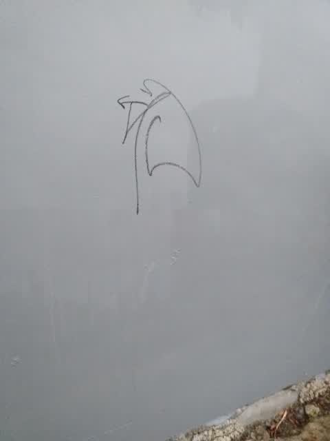
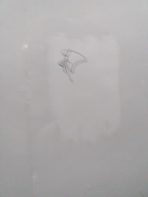
 Graffiti everywhere along track
 Graffiti on a fence, building or structure —
 Graphite
 Graffiti on a fence, building or structure —
 Hi, There is lots of graffiti along the walls on the walking track. Thanks
 Graffiti somewhere else —
 On post as well as box. They need to lock G Styler up! Graffiti is on Tow Track.
 Overgrown Vegetation —
 Thanks for the amazing work clearing all the pines. The views are great. This tree is half in the water and may have been missed? It will
- Water General —
- Graffiti —
- Graffiti —
- Graffiti —
- Graffiti —
- Graffiti —
- Graffiti —
- Graffiti —
- Graffiti —
- Graffiti —
- Graffiti —
- Park - General Request —
- Graffiti —
 Graffiti —
 Graffiti on king storage wall on towpath walk
 Facility - General Request —
 It's about time this corner on the towpath walk had a two way mirror. There have been a number of reports sent in with no action taken
 Parks —
 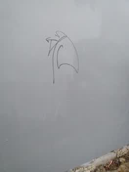 Graffiti —
 Graffiti on wall behind king storage on towpath walk
 Graffiti —
 Graffiti on wall behind king storage on towpath walk
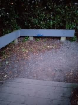 Graffiti —
 Graffiti on bridge approach on towpath walk
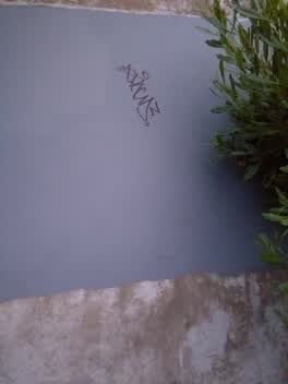 Graffiti —
 Graffiti on wall behind king storage on towpath walk
 Graffiti —
 Graffiti on wall behind king storage on towpath walk
 Graffiti —
 Graffiti on wall behind king storage on towpath walk
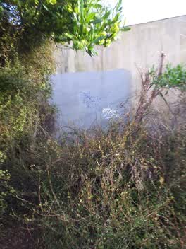 Graffiti —
 Graffiti on wall behind king storage on towpath walk
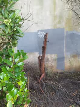 Graffiti —
 Graffiti on wall behind king storage on towpath walk
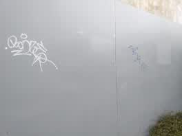 Graffiti —
 Graffiti on wall behind king storage on towpath walk
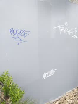 Graffiti —
 Graffiti on wall behind king storage on towpath walk
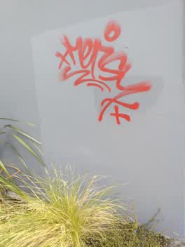 Graffiti —
 Graffiti on wall behind king storage on towpath walk
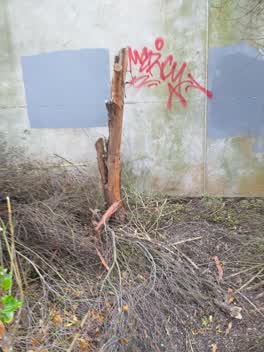 Graffiti —
 Graffiti behind king storage on towpath walk
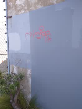 Graffiti —
 Graffiti on wall behind king storage on towpath walk
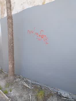 Graffiti —
 Graffiti on wall behind king storage on towpath walk
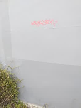 Graffiti —
 Behind kings storage on towpath walk
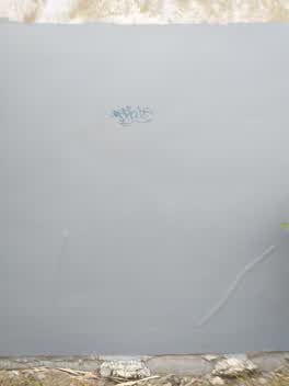 Graffiti —
 Behind kings storage on towpath walk
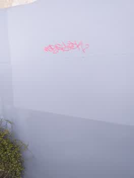 Graffiti —
 Graffiti on wall behind king storage on towpath walk
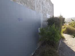 Graffiti —
 Graffiti on wall behind king storage on towpath walk
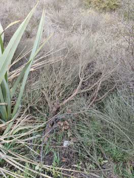 Parks —
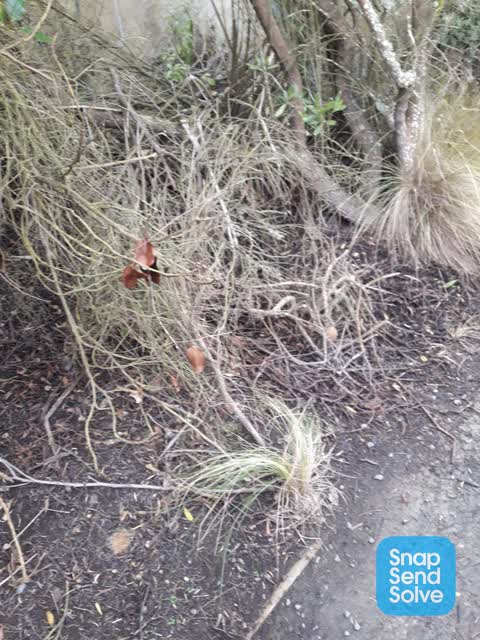
 Lots of dead material beside path a fire risk
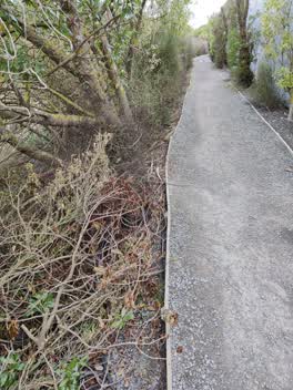 Parks —
 Walkway at back of Ferrymead. .plants have been hacked down and left.
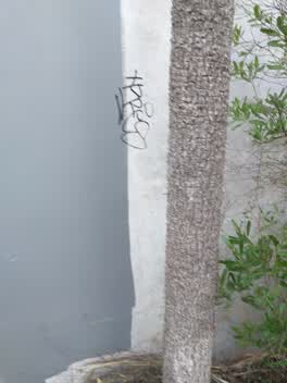 Graffiti —
 Graffiti on wall behind storage king on towpath walk
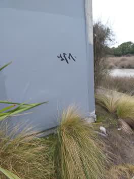 Graffiti —
 On towpath walk behind king storage
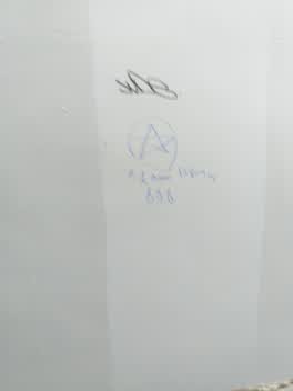 Graffiti —
 On wall behind king storage on towpath walk
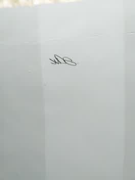 Graffiti —
 On towpath walk behind king storage
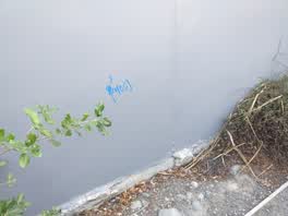 Graffiti —
 graffiti on 2panels behind king storage on towpath walk
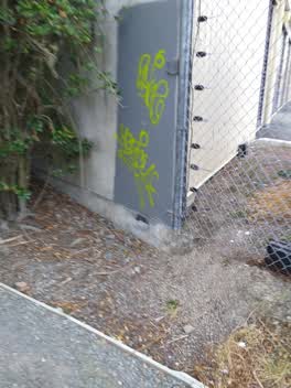 Graffiti —
 graffiti on towpath walk behind king storage
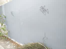 Graffiti —
 graffiti on further 3 panels on towpath walk behind king storage
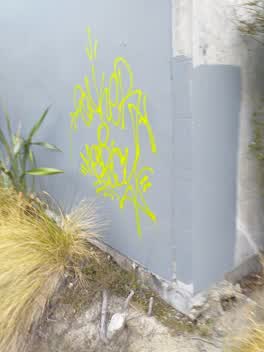 Graffiti —
 graffiti on 3 panels on towpath walk behind king storage
 Graffiti —
 graffiti on the towpath walkway in ferrymead on the wall behind king storage
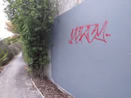 Graffiti —
 graffiti on towpath walk wall behind king storage
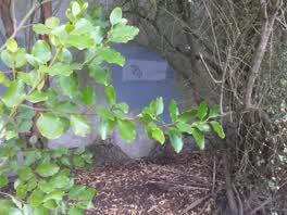 Graffiti —
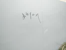
 on towpath track behind king's storage
 Graffiti —
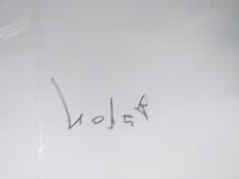
 on wall behind king's storage on tow path track ferry road
 Graffiti —
 on wall behind king storage on towpath walk
 Parks —
 resent fire
 Graffiti —
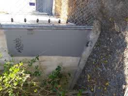
 king storage towpath walkway
 Graffiti —
 back of king storage on towpath walkway
 Graffiti —
 make it 4 panels
 Graffiti —
 on two panels behind king storage on towpath walking track
Graffiti —
Blue entries added over weekend
Graffiti —
Fresh over weekend
Also reported on Ferry Road
- 992 Ferry Road — 40 reports
- 1070 Ferry Road — 31 reports
- 1005 Ferry Road — 25 reports
- 988 Ferry Road — 21 reports
- 1016 Ferry Road — 16 reports
- 960 Ferry Road — 14 reports
- 1105 Ferry Road — 14 reports
- 1002 Ferry Road — 14 reports
The street’s crash record
NZTA’s record names Ferry Road in 41 crashes that hurt somebody since 2006 — 1 person killed, 11 seriously hurt.
The green nearby
- Ferry Esplanade Reserve — you are in it · 1 ha
- Ferrymead Park — 72 m to the edge · Regional · 77 ha
- Tunnel Road Reserve — 235 m to the edge · 3 ha
- Settlers Reserve — 288 m to the edge · 13 ha
- Roundabout Reserve — 318 m to the edge
Parks within half a kilometre, measured to the boundary — the council’s open data.
On the doorstep
- Ferrymead Automotive 2007 Ltd — 105 m away · Car repair
- Dubba Deluxe — 165 m away · Restaurants
- Gre3n Superfood Ferrymead — 172 m away · Fast food
- Del Mar — 175 m away · Cafés
Businesses within four hundred metres, measured at the pin — OpenStreetMap and the council directories.
The bus nearby
- Ferry Rd near Waterman Pl — 145 m away · route 3, route 140, route 155
- Ferry Rd near Waterman Pl — 158 m away · route 3, route 140, route 155
The closest Metro stops, within four hundred and fifty metres.
The tracks through here
- Walk and bike track through Ferrymead — 9 m to the line · walk · bike
- Walk and bike track through Ferrymead — 152 m to the line · walk · bike
- Walk and bike track through Ferrymead — 410 m to the line · walk · bike
- Walk and bike track through Ferrymead — 443 m to the line · walk · bike
- Walk and bike track through Ferrymead — 454 m to the line · walk · bike
Tracks whose line passes within half a kilometre, measured to the line itself — the council’s open data.
The named ground
Named water within 500 m of this address, measured to the line or the edge; the council’s own structure register — bridges, boardwalks and steps standing nearby — the open map’s record.
The civic layer
This ground votes in Heathcote ward — the Spreydon-Cashmere-Heathcote community board. Ward lines don’t always follow suburb lines; this one is measured at the pin, not the suburb’s centre.
What stood on this ground → · On the map → · From the air — the Crown’s aerials back to 1936; search the address on RetroLens →
Questions, answered briefly
63 council reports on record since July 2017 — most often graffiti (49), parks (4), graffiti on a fence, building or structure (3).
Ferrymead, Christchurch — on Ferry Road.
Nothing on the heritage register at this exact spot — the record around this ground →
Ferry Esplanade Reserve — the address is inside it, 1 ha.