1016 Ferry Road, Ferrymead
16 reports on record since September 2016 · 12 with photographs. The street’s heaviest record is 982 Ferry Road — 63 reports on file. Indicative rating valuation and school zones, hazards, bin day and what stood here before.
What gets reported here
Photographed here 12 on record


Reported here
- Water Pollution - Sediment —
Stopped in for a coffee this morning at Soulful coffee at 1014 Ferry Road on my bike ride to work, think it was about 930 ish today , as I w
 Water Leak —
 Steady flow from under the seal
 Water Leak —
 300mm AC main in footpath severe water leak. WILL LET GO SOON
 Water Leak —
 water leaking from footpath into channel and running down to drain
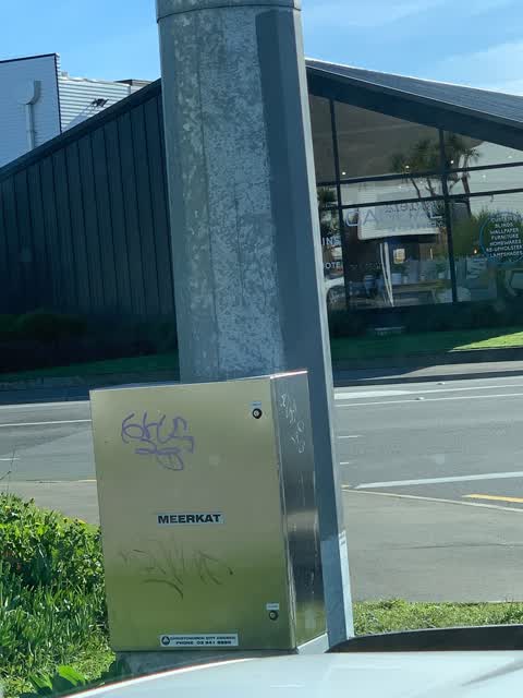
 Graffiti on a traffic light pole or cabinet, or wa —
 Tagging of lamp post
 Hazard — vehicle —
 Patrons of the coffee cart regularly park in the cycle lane. This forces users of the cycle lane into active traffic lanes. This is futher c
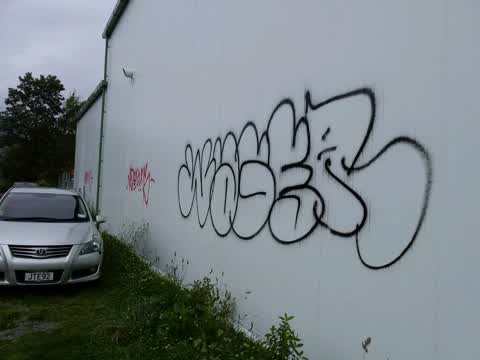
 Graffiti somewhere else —
  Graffiti somewhere else —
 Graffiti on 9 lamp pool in this area up to the Ferrymead Bridge.
 Graffiti on a fence, building or structure —
 On board sign outside Kaans catering
 Graffiti —
 - Street Light Outage —
- Hazard — vehicle —
 Graffiti —
 Graffiti —
- Roading/Streets —
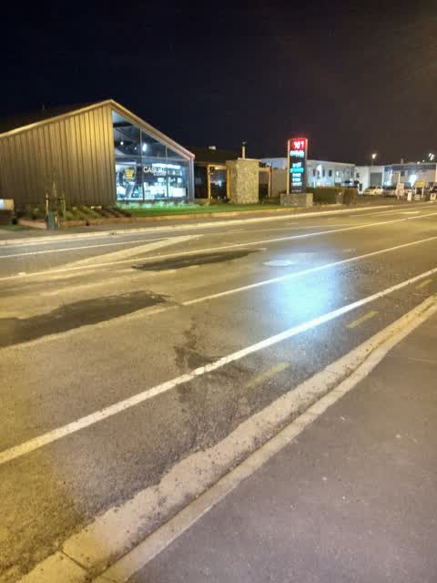
Again potholes in new chipseal road. It's looking more and more of patchwork road now.
Roading/Streets —
Potholes
Also reported on Ferry Road
- 982 Ferry Road — 63 reports
- 992 Ferry Road — 40 reports
- 1070 Ferry Road — 31 reports
- 1005 Ferry Road — 25 reports
- 988 Ferry Road — 21 reports
- 960 Ferry Road — 14 reports
- 1105 Ferry Road — 14 reports
- 1002 Ferry Road — 14 reports
The street’s crash record
NZTA’s record names Ferry Road in 41 crashes that hurt somebody since 2006 — 1 person killed, 11 seriously hurt.
The green nearby
- Settlers Reserve — 116 m to the edge · 13 ha
- Charlesworth Reserve — 232 m to the edge · Regional · 24 ha
- Ferry Esplanade Reserve — 302 m to the edge · 1 ha
- Ferrymead Park — 364 m to the edge · Regional · 77 ha
- Scott Park Ferrymead — 474 m to the edge · 2 ha
Parks within half a kilometre, measured to the boundary — the council’s open data.
On the doorstep
- Bay Audiology — 40 m away · Audiologists
- Foate Optometry — 41 m away · Opticians
- Ten27 — 47 m away · Cafés
- de Spa Chocolatier Factory Shop Showroom — 61 m away · Delis
Businesses within four hundred metres, measured at the pin — OpenStreetMap and the council directories.
The bus nearby
- Ferry Rd near Settlers Cres — 80 m away · route 3, route 140, route 155
- Ferry Rd near Settlers Cres — 82 m away · route 3, route 140, route 155
The closest Metro stops, within four hundred and fifty metres.
The tracks through here
- Walk and bike track through Ferrymead — 13 m to the line · walk · bike
- Walk and bike track through Ferrymead — 33 m to the line · walk · bike
- Walk and bike track through Ferrymead — 94 m to the line · walk · bike
- Walk and bike track through Ferrymead — 125 m to the line · walk · bike
- Walk and bike track through Ferrymead — 160 m to the line · walk · bike
Tracks whose line passes within half a kilometre, measured to the line itself — the council’s open data.
The named ground
Named water within 500 m of this address, measured to the line or the edge; the council’s own structure register — bridges, boardwalks and steps standing nearby — the open map’s record.
The remembered names nearby
- Donated by Friends and Family / in Memory of / Keith Murray — 222 m away ·
Donated by friends and family / in memory of / Keith Murray / (1966 – 2005) / who loved th
· 2005
Inscribed plaques within two hundred and fifty metres — the register’s pins, not surveyed spots. The whole roll is at /plaques.
The civic layer
This ground votes in Heathcote ward — the Spreydon-Cashmere-Heathcote community board. Ward lines don’t always follow suburb lines; this one is measured at the pin, not the suburb’s centre.
What stood on this ground → · On the map → · From the air — the Crown’s aerials back to 1936; search the address on RetroLens →
Questions, answered briefly
16 council reports on record since September 2016 — most often water leak (3), graffiti (3), roading/streets (2).
Ferrymead, Christchurch — on Ferry Road.
Nothing on the heritage register at this exact spot — the record around this ground →
Settlers Reserve — 116 m to its edge, 13 ha.