5 Tidal View, Ferrymead
15 reports on record since June 2015 · 11 with photographs. The street’s heaviest record is 4 Tidal View — 21 reports on file. Indicative rating valuation and school zones, hazards, bin day and what stood here before.
What gets reported here
- Graffiti — 4
- Roading/Streets — 3
- Parks — 2
- Rubbish and Bins - General — 1
- Roads - General — 1
- Pavement - General — 1
Photographed here 11 on record


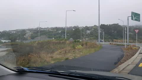
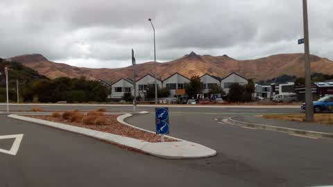
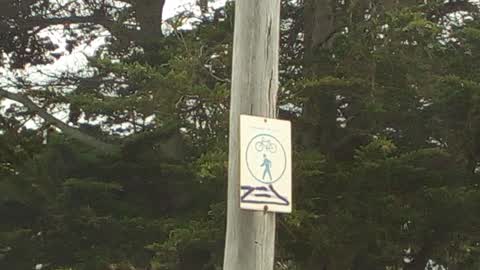
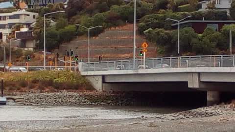
Reported here
- General Request —
Can signage be put along the estuary for people to not let their dogs chase birds.some people are just ignorant and saw a woman letting her
 Overgrown Vegetation —
 The island of native planting between the road and the Coastal Pathway opposite the Anytime gym at Ferrymead, has weeds emerging through the
- Rubbish and Bins - General —
- Roads - General —
- Pavement - General —
 Litter —
 Lots of litter in the two car park areas and along Humphreys Drive facing the estuary.
 Parks —
  Parks —
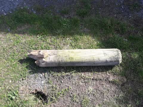
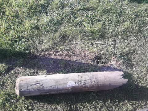
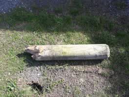
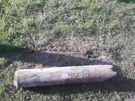
 broken bollard at Avon heathcote estery
Roading/Streets —
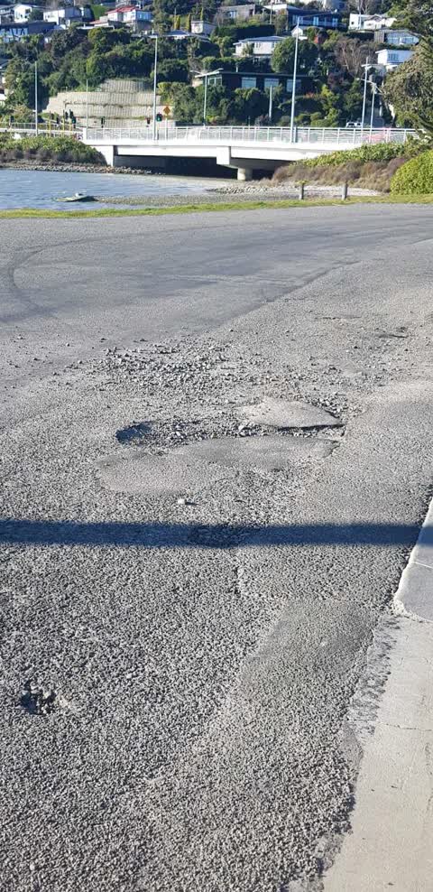
Potholes and debris to be swept up too :)
Graffiti —
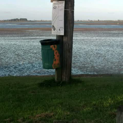
On rubbish bin.
Roading/Streets —
I don't think that these 4 planted areas of road reserve have ever gone on to a maintenance schedule, though I've asked before. Each corner
Graffiti —
Graffiti —
Graffiti —
Left hand side Ferrymead bridge.
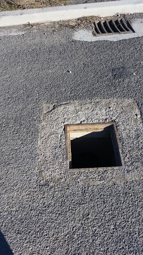
Roading/Streets —
Stormwater manhole missing top
Also reported on Tidal View
- 4 Tidal View — 21 reports
- 9 Tidal View — 9 reports
- 7 Tidal View — 4 reports
- 21E Tidal View — 4 reports
- 8 Tidal View — 2 reports
- 2 Tidal View — 2 reports
- 13 Tidal View — 2 reports
- 1 Tidal View — 2 reports
The street’s crash record
NZTA’s record names Tidal View in 4 crashes that hurt somebody since 2006 — 1 seriously hurt, nobody killed.
The green nearby
- Settlers Reserve — 116 m to the edge · 13 ha
- Scott Park Ferrymead — 198 m to the edge · 2 ha
- Charlesworth Reserve — 356 m to the edge · Regional · 24 ha
- Te Awakura Reserve — 443 m to the edge
- Ferrymead Reserve — 452 m to the edge · Botanic · 1 ha
Parks within half a kilometre, measured to the boundary — the council’s open data.
On the doorstep
- Connect Chiropractic — 17 m away · Alternative
- Anytime Fitness — 36 m away · Gyms & fitness
- Best Turkish Food Co. — 51 m away · Restaurants
- The Kebab King Ferrymead — 56 m away · Fast food
Businesses within four hundred metres, measured at the pin — OpenStreetMap and the council directories.
The bus nearby
- Ferry Rd near Settlers Cres — 202 m away · route 3, route 140, route 155
- Ferry Rd near Settlers Cres — 203 m away · route 3, route 140, route 155
The closest Metro stops, within four hundred and fifty metres.
The tracks through here
- Walk and bike track through Ferrymead — 13 m to the line · walk · bike
- Walk and bike track through Ferrymead — 67 m to the line · walk · bike
- Walk and bike track through Ferrymead — 67 m to the line · walk · bike
- Walk and bike track through Ferrymead — 122 m to the line · walk · bike
- Walk and bike track through Ferrymead — 123 m to the line · walk · bike
Tracks whose line passes within half a kilometre, measured to the line itself — the council’s open data.
The named ground
Named water within 500 m of this address, measured to the line or the edge; the council’s own structure register — bridges, boardwalks and steps standing nearby — the open map’s record.
The remembered names nearby
- Donated by Friends and Family / in Memory of / Keith Murray — 120 m away ·
Donated by friends and family / in memory of / Keith Murray / (1966 – 2005) / who loved th
· 2005 - Christchurch / City Council / 1967 / H2o – S10 – T16 — 121 m away ·
CHRISTCHURCH / CITY COUNCIL / 1967 / H2O – S10 – T16
· 1998
Inscribed plaques within two hundred and fifty metres — the register’s pins, not surveyed spots. The whole roll is at /plaques.
What was here — Former Dwelling and Setting
245 m away · 2A Main Road · located to ±7 m · the place’s own record →
On the register. Nothing researched here yet.
The civic layer
This ground votes in Heathcote ward — the Spreydon-Cashmere-Heathcote community board. Ward lines don’t always follow suburb lines; this one is measured at the pin, not the suburb’s centre.
What stood on this ground → · On the map → · From the air — the Crown’s aerials back to 1936; search the address on RetroLens →
Questions, answered briefly
15 council reports on record since June 2015 — most often graffiti (4), roading/streets (3), parks (2).
Ferrymead, Christchurch — on Tidal View.
The heritage register names a place at or beside it — Former Dwelling and Setting.
Settlers Reserve — 116 m to its edge, 13 ha.