290 Wooldridge Road, Harewood
20 reports on record since February 2020 · 16 with photographs. The street’s heaviest record is 313-315 Wooldridge Road — 39 reports on file. Indicative rating valuation and school zones, hazards, bin day and what stood here before.
What gets reported here
- Parks — 5
- Water Leak — 3
- Park - General Request — 3
- Dumped Rubbish — 3
- Graffiti — 2
- Trees - General — 1
Photographed here 16 on record




Reported here
 Trees - General —
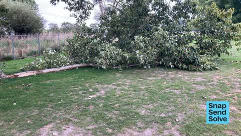
 Large branch has broken over by tall concert structure ( church )in Nunwick park
 Dumped Rubbish —
 rubbish dumped in park
 Water Leak —
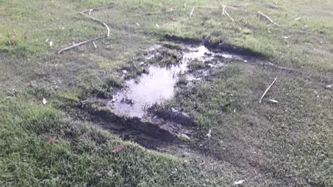
 Water appears to be leaking out of the embankment by the church in the storm water ditch
 Water Leak —
 Leaking water pipe from water meter inside church boundry is leaking into Styx River in Nunweek Park.
 Park - General Request —
 Nunweek park, entrance near toilets. Weight of the chain has pulled the pole out of the ground. Entrance unable to be secured
 Public Toilet —
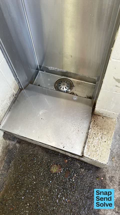
 Blocked urinal running over floor to drain
 Park - General Request —
 Access gate post snapped off at Nunweek Park, the entrance close to the toilets.
 Fallen Tree —
 Branch broken on park side of fence to church
 Graffiti —
 Graffiti in both male and female Nunweek park toilets
- Dumped Rubbish —
- Park - General Request —
- Graffiti —
- Dumped Rubbish —
 Parks —
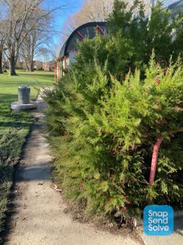
 The tree is blocking a large portion of the footpath outside the toilets at Nunweek park
 Roading/Streets —
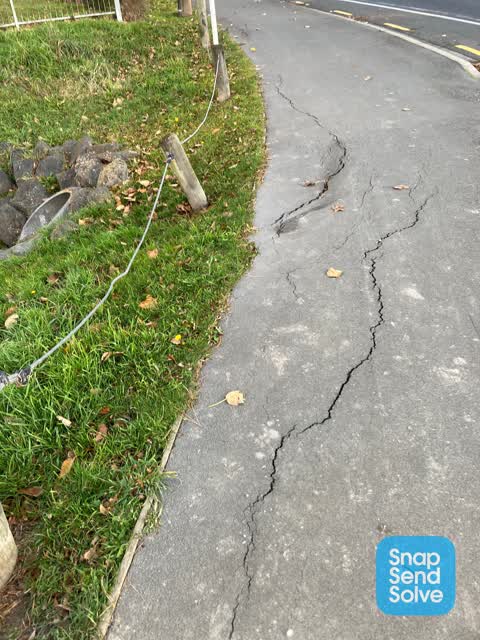
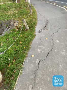
 Pavement seems to be collapsing at the culvert.
Parks —
 Water Leak —
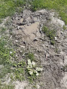
 seeping water line
Parks —
weeping irrigator
Parks —
cuts of padlock missing at main gate can it be fixed please
Parks —
some of many wind blown branches around the park
Also reported on Wooldridge Road
- 313-315 Wooldridge Road — 39 reports
- 253 Wooldridge Road — 32 reports
- 240 Wooldridge Road — 21 reports
- 278 Wooldridge Road — 13 reports
- 276 Wooldridge Road — 12 reports
- 202 Wooldridge Road — 11 reports
- 204 Wooldridge Road — 8 reports
- 295 Wooldridge Road — 7 reports
The street’s crash record
NZTA’s record names Wooldridge Road in 21 crashes that hurt somebody since 2006 — 3 seriously hurt, nobody killed.
The green nearby
- Nunweek Park — 13 m to the edge · Sports ground · 20 ha
- Styx River Reserve — 187 m to the edge · 2 ha
- Benmore Gardens Reserve — 326 m to the edge
- Becmead Reserve — 445 m to the edge
Parks within half a kilometre, measured to the boundary — the council’s open data.
On the doorstep
- Airport Guesthouse — 116 m away · B&Bs
- 5th Quarter Cafe And Bar — 181 m away · Clubs
- Produce HQ — 346 m away · Fruit & veg
Businesses within four hundred metres, measured at the pin — OpenStreetMap and the council directories.
The bus nearby
- Harewood Rd near Wooldridge Rd — 294 m away · route 125
- Harewood Rd near Wooldridge Rd — 309 m away · route 125
The closest Metro stops, within four hundred and fifty metres.
The tracks through here
- Walk and bike track through Harewood — 238 m to the line · walk · bike
- Walk and bike track through Harewood — 279 m to the line · walk · bike
- Walk and bike track through Harewood — 474 m to the line · walk · bike
Tracks whose line passes within half a kilometre, measured to the line itself — the council’s open data.
The named ground
the council’s own structure register — bridges, boardwalks and steps standing nearby — the open map’s record.
The civic layer
This ground votes in Harewood ward — the Fendalton-Waimairi-Harewood community board. Ward lines don’t always follow suburb lines; this one is measured at the pin, not the suburb’s centre.
What stood on this ground → · On the map → · From the air — the Crown’s aerials back to 1936; search the address on RetroLens →
Questions, answered briefly
20 council reports on record since February 2020 — most often parks (5), water leak (3), park - general request (3).
Harewood, Christchurch — on Wooldridge Road.
Nothing on the heritage register at this exact spot — the record around this ground →
Nunweek Park — 13 m to its edge, 20 ha.