202 Wooldridge Road, Harewood
11 reports on record since March 2016 · 8 with photographs. The street’s heaviest record is 313-315 Wooldridge Road — 39 reports on file. Indicative rating valuation and school zones, hazards, bin day and what stood here before.
What gets reported here
- Roading/Streets — 2
- Flooding — 2
- Dumped Rubbish — 2
- Wastewater/Stormwater — 1
- Parks — 1
- Park - General Request — 1
Photographed here 8 on record


Reported here
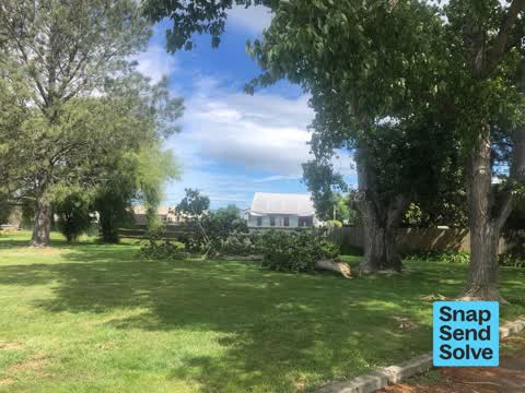
 Fallen Tree —
 Marching Canterbury held a competition at Nunweek Park today on turf 3 Hockey Turf. However the teams that attended this competition set up
 Dumped Rubbish —
 Two spots where a pile of flax and bed rubbish has been dumped
 Dumped Rubbish —
 Pile of old clothes and general rubbish dump in 2nd bay of car park
- Park - General Request —
- Graffiti —
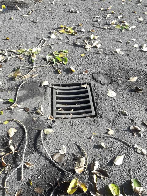
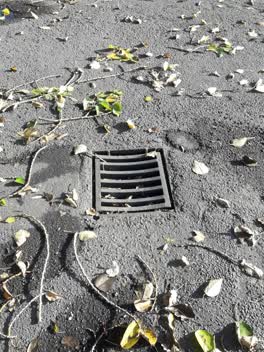 Wastewater/Stormwater —
 Parks —
Branches under tree in nunweek carpark
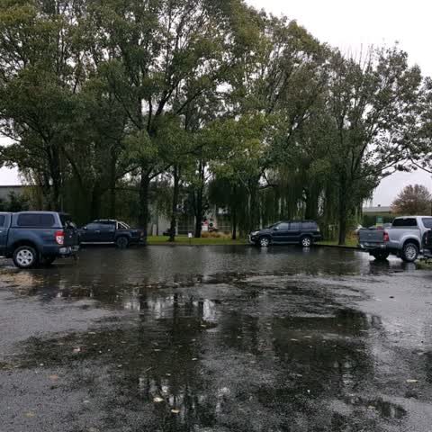
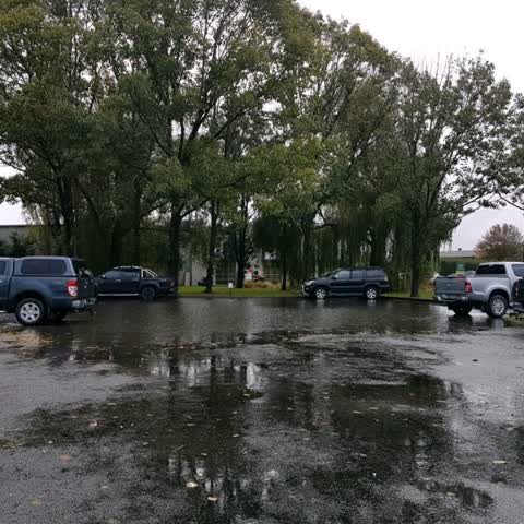
Flooding —
Did report this a couple weeks back. So the drians need one of your pump trucks to clear it. The pic shows some flooding but does get worse.
Flooding —
Did report this a couple weeks back. So the drians need one of your pump trucks to clear it. The pic shows some flooding but does get worse.
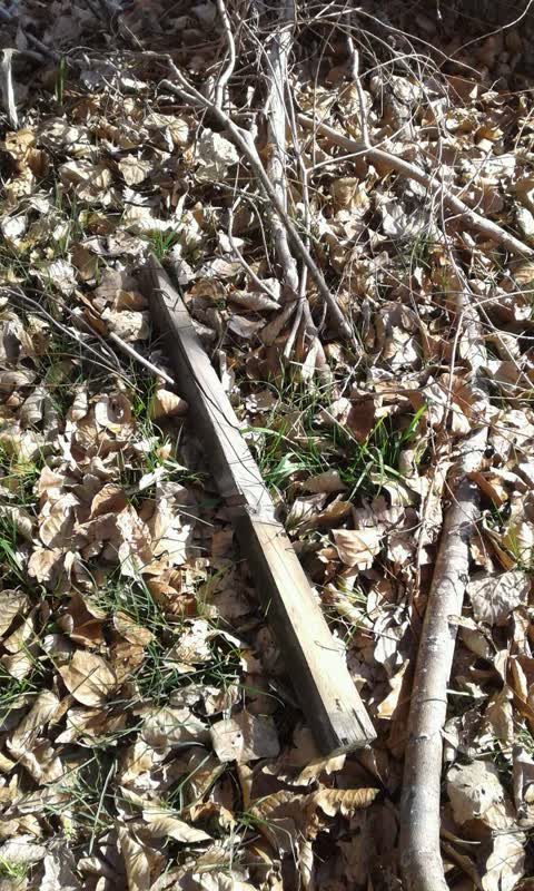
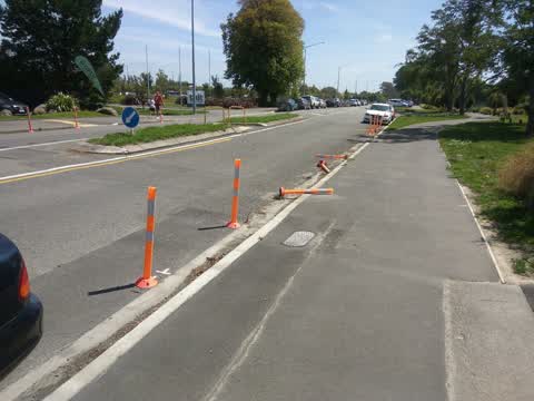
Roading/Streets —
Bollards broken. Wouldn't yellow paint be better?
- Roading/Streets —
I noticed people in full protective suits but no respirators wrapping poor in polythene and then in such rape. My concern is that this might
Also reported on Wooldridge Road
- 313-315 Wooldridge Road — 39 reports
- 253 Wooldridge Road — 32 reports
- 240 Wooldridge Road — 21 reports
- 290 Wooldridge Road — 20 reports
- 278 Wooldridge Road — 13 reports
- 276 Wooldridge Road — 12 reports
- 204 Wooldridge Road — 8 reports
- 295 Wooldridge Road — 7 reports
The street’s crash record
NZTA’s record names Wooldridge Road in 21 crashes that hurt somebody since 2006 — 3 seriously hurt, nobody killed.
The green nearby
- Nunweek Park — you are in it · Sports ground · 20 ha
- Wairakei Reserve — 221 m to the edge · 1 ha
- Roydvale Reserve — 303 m to the edge
- Becmead Walkway — 369 m to the edge
- Benmore Gardens Reserve — 449 m to the edge
Parks within half a kilometre, measured to the boundary — the council’s open data.
On the doorstep
- Repco — 53 m away · Car parts
- Pure Cafe Co - Woolridge Road — 54 m away · Cafés
- Maxwells Drycleaning — 62 m away · Dry cleaners
- Bin Inn — 65 m away · Supermarkets
Businesses within four hundred metres, measured at the pin — OpenStreetMap and the council directories.
The bus nearby
The closest Metro stops, within four hundred and fifty metres.
The tracks through here
- Walk and bike track through Harewood — 82 m to the line · walk · bike
- Walk and bike track through Harewood — 102 m to the line · walk · bike
- Walk and bike track through Harewood — 329 m to the line · walk · bike
Tracks whose line passes within half a kilometre, measured to the line itself — the council’s open data.
The civic layer
This ground votes in Harewood ward — the Fendalton-Waimairi-Harewood community board. Ward lines don’t always follow suburb lines; this one is measured at the pin, not the suburb’s centre.
What stood on this ground → · On the map → · From the air — the Crown’s aerials back to 1936; search the address on RetroLens →
Questions, answered briefly
11 council reports on record since March 2016 — most often roading/streets (2), flooding (2), dumped rubbish (2).
Harewood, Christchurch — on Wooldridge Road.
Nothing on the heritage register at this exact spot — the record around this ground →
Nunweek Park — the address is inside it, 20 ha.