25 Butterfield Avenue, Linwood
17 reports on record since October 2015 · 12 with photographs. The street’s heaviest record is 82 Butterfield Avenue — 25 reports on file. Indicative rating valuation and school zones, hazards, bin day and what stood here before.
What gets reported here
- Graffiti — 5
- Rubbish/Recycling — 3
- Water Leak — 2
- Water General — 1
- Trees - General — 1
- Roading/Streets — 1
Photographed here 12 on record



Reported here
 Water General —
 Vandalised tap in Linwood cemetery. looks like its been turned iff somewhere.
 Trees - General —
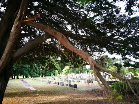
 Large fallen broken limb off pine tree resting on various graves.
- Fallen Tree —
- Water Leak —
- Water Leak —
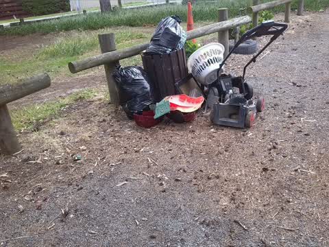
- Dumped Rubbish —
- Flooding —
Rubbish/Recycling —
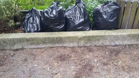
Private rubbish left over night
Parks —
Large branch partially snapped off at main entrance to Linwood Cemetery
Rubbish/Recycling —
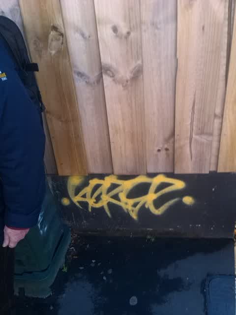
Graffiti —
Graffiti —
Graffiti —
Graffiti —
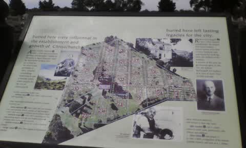
Info board top of tram line. Cleaned off by friends of Linwood cemetery
Graffiti —
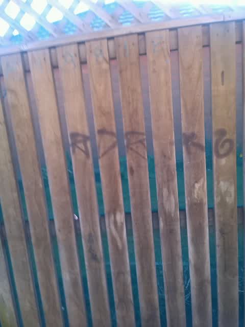
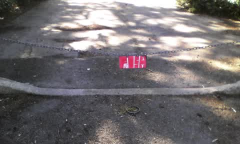
Linwood cemetery car park. Chain to old tram line. This graffiti has been reported last year and nothing done....
Rubbish/Recycling —
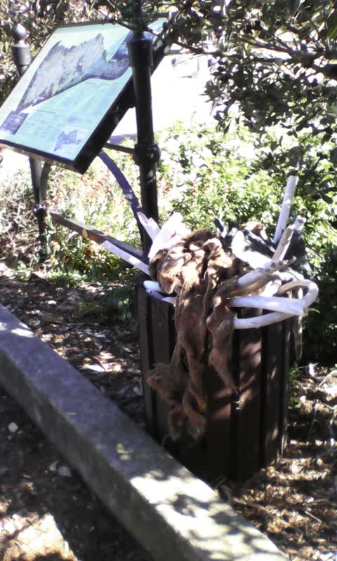
Both bins in Linwood cemetery car park over flowing - one with domestic refuse.
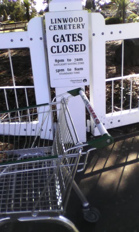
Roading/Streets —
Gates to Linwood cemetery
Also reported on Butterfield Avenue
- 82 Butterfield Avenue — 25 reports
- 30 Butterfield Avenue — 23 reports
- 78 Butterfield Avenue — 15 reports
- 46 Butterfield Avenue — 12 reports
- 31 Butterfield Avenue — 9 reports
- 30A Butterfield Avenue — 9 reports
- 76 Butterfield Avenue — 8 reports
- 6 Butterfield Avenue — 8 reports
The street’s crash record
NZTA’s record names Butterfield Avenue in 4 crashes that hurt somebody since 2006 — 1 seriously hurt, nobody killed.
The green nearby
- Bromley Park — 152 m to the edge · Sports ground · 4 ha
- Merrilees Reserve — 342 m to the edge
Parks within half a kilometre, measured to the boundary — the council’s open data.
The civic shelf nearby
- Linwood Cemetery — you are in it · Cemetery
Libraries, halls and the rest within half a kilometre — the council’s open data.
On the doorstep
- VetCall — 294 m away · Vets
Businesses within four hundred metres, measured at the pin — OpenStreetMap and the council directories.
The bus nearby
- Mcgregors Rd near Ruru Rd — 208 m away · route 155
- Mcgregors Rd near Ruru Rd — 225 m away · route 155
The closest Metro stops, within four hundred and fifty metres.
The tracks through here
- Walk and bike track through Linwood — 278 m to the line · walk · bike
- Walk and bike track through Linwood — 366 m to the line · walk · bike
Tracks whose line passes within half a kilometre, measured to the line itself — the council’s open data.
The named ground
the council’s own structure register — bridges, boardwalks and steps standing nearby — the open map’s record.
Renting nearby
new bonds in Linwood ran about $478 a week — $72 below the city median of $550 — the suburb page keeps the rent record →.
What was here — Linwood Cemetery
on this spot · located to ±322 m · the place’s own record →
On the register. Nothing researched here yet.
The civic layer
This ground votes in Linwood ward — the Coastal-Burwood-Linwood community board. Ward lines don’t always follow suburb lines; this one is measured at the pin, not the suburb’s centre.
What stood on this ground → · On the map → · From the air — the Crown’s aerials back to 1936; search the address on RetroLens →
Questions, answered briefly
17 council reports on record since October 2015 — most often graffiti (5), rubbish/recycling (3), water leak (2).
Linwood, Christchurch — on Butterfield Avenue.
The heritage register names a place at or beside it — Linwood Cemetery.
Bromley Park — 152 m to its edge, 4 ha.