82 Butterfield Avenue, Linwood
25 reports on record since December 2015 · 11 with photographs. The most-reported address on Butterfield Avenue. Indicative rating valuation and school zones, hazards, bin day and what stood here before.
What gets reported here
Photographed here 11 on record


Reported here
 Graffiti on a fence, building or structure —
graffiti on brown fence on corner
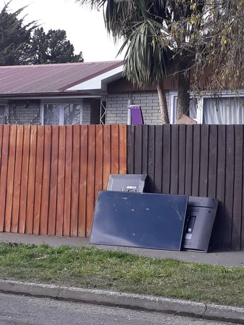
- Dumped Rubbish —
More dumped rubbish. Small red bag on the cirner
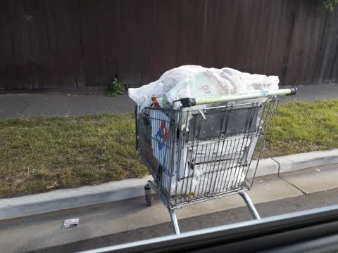
- Dumped Rubbish —
Dumped rubbish side of the road, partially in a trolley
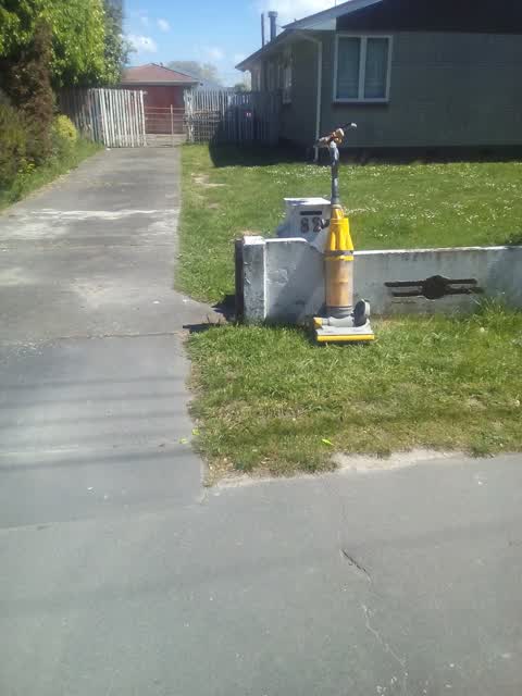
- Dumped Rubbish —
Dumped rubbish, mainly clothing
 Pothole —
pot hole nearby
- Dumped Rubbish —
Dumped rubbish on side of road, on the cemetery side of Butterfield Avenue. looks like foam of some sort.
- Dumped Rubbish —
Medical waste. Needles and packaging.
- Dumped Rubbish —
In longish grass on the side walk
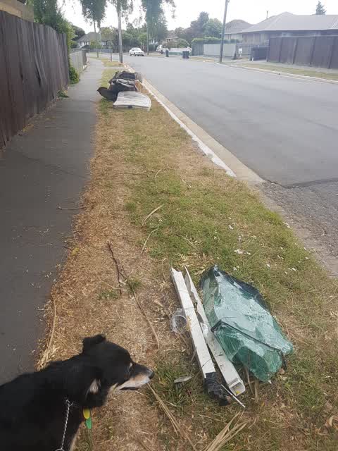
 Dumped Rubbish —
Dumped green waste and plastic…Jolie St and Butterfield intersection
- Graffiti —
- Graffiti —
- Dumped Rubbish —
- Graffiti —
- Dumped Rubbish —
- Graffiti —
- Graffiti —
- Graffiti —
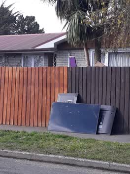 Rubbish/Recycling —
Rubbish/Recycling —
dumped mattresses, chair and glass
Rubbish/Recycling —
Graffiti —
Graffiti —
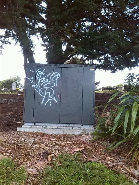
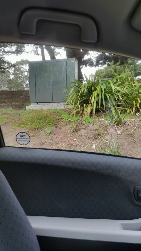
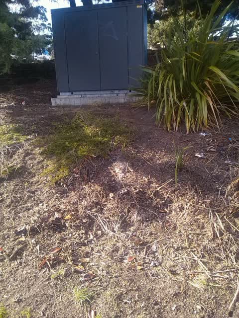
Graffiti on Vodafone cabinet c26a
Graffiti —
Graffiti —
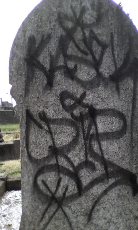
Linwood cemetery block 10 shark and. Near hollow street footpath
Also reported on Butterfield Avenue
- 30 Butterfield Avenue — 23 reports
- 25 Butterfield Avenue — 17 reports
- 78 Butterfield Avenue — 15 reports
- 46 Butterfield Avenue — 12 reports
- 31 Butterfield Avenue — 9 reports
- 30A Butterfield Avenue — 9 reports
- 76 Butterfield Avenue — 8 reports
- 6 Butterfield Avenue — 8 reports
The street’s crash record
NZTA’s record names Butterfield Avenue in 4 crashes that hurt somebody since 2006 — 1 seriously hurt, nobody killed.
The green nearby
- Bromley Park — 332 m to the edge · Sports ground · 4 ha
- Merrilees Reserve — 421 m to the edge
Parks within half a kilometre, measured to the boundary — the council’s open data.
The civic shelf nearby
- Linwood Cemetery — 26 m away · Cemetery
Libraries, halls and the rest within half a kilometre — the council’s open data.
The bus nearby
- Mcgregors Rd near Ruru Rd — 199 m away · route 155
- Mcgregors Rd near Ruru Rd — 220 m away · route 155
The closest Metro stops, within four hundred and fifty metres.
The tracks through here
- Walk and bike track through Linwood — 450 m to the line · walk · bike
Tracks whose line passes within half a kilometre, measured to the line itself — the council’s open data.
The named ground
the council’s own structure register — bridges, boardwalks and steps standing nearby — the open map’s record.
Renting nearby
new bonds in Linwood ran about $478 a week — $72 below the city median of $550 — the suburb page keeps the rent record →.
What was here — Linwood Cemetery
on this spot · located to ±322 m · the place’s own record →
On the register. Nothing researched here yet.
The civic layer
This ground votes in Linwood ward — the Coastal-Burwood-Linwood community board. Ward lines don’t always follow suburb lines; this one is measured at the pin, not the suburb’s centre.
What stood on this ground → · On the map → · From the air — the Crown’s aerials back to 1936; search the address on RetroLens →
Questions, answered briefly
25 council reports on record since December 2015 — most often graffiti (10), dumped rubbish (9), rubbish/recycling (4).
Linwood, Christchurch — on Butterfield Avenue.
The heritage register names a place at or beside it — Linwood Cemetery.
Bromley Park — 332 m to its edge, 4 ha.