6 Oxford Street, Lyttelton
35 reports on record since March 2016 · 33 with photographs. The street’s heaviest record is 26 Oxford Street — 83 reports on file. Indicative rating valuation and school zones, hazards, bin day and what stood here before.
What gets reported here
Photographed here 33 on record



Reported here
 Graffiti somewhere else —
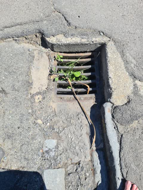
 I've titled this piece, "Well that's a bit rubbish!" It's sometimes said that Public sanitation workers save more lives than doctors. I th
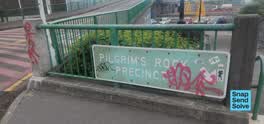 Graffiti on a sign, mural or public art —
  Road Signage —
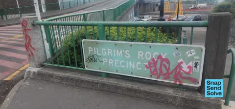
 Faded and bolts rusty. This is a heritage site. Canterbury turns 175 next year! This is not a State Highway sign.
- Street Gutters / Storm Water —
- Facility - General Request —
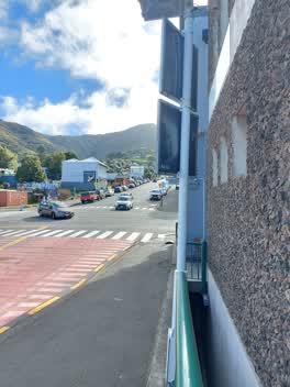 Graffiti —
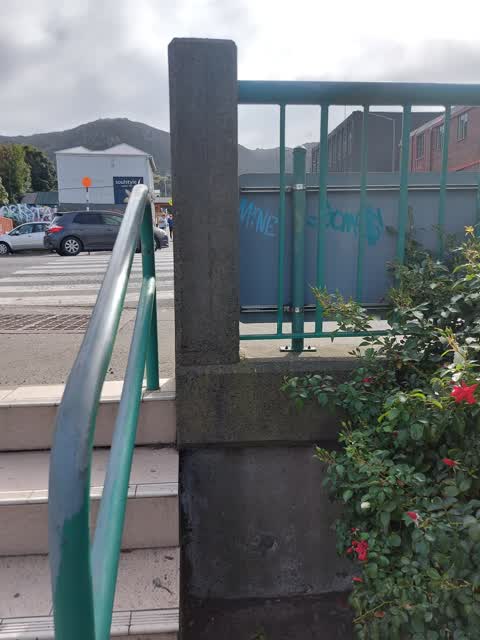
 Graffiti on back of road sign for Lyttelton Port. Tag says "weak" - a common tag we see all over chch
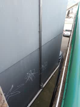 Graffiti —
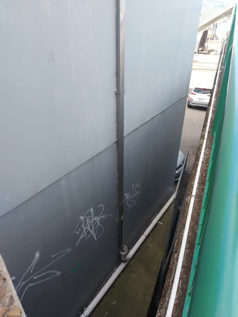
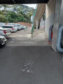
 Graffiti on side of building next to the Sutton Quay overpass. Building housing Kotahi Engineering Studio.
 Graffiti —
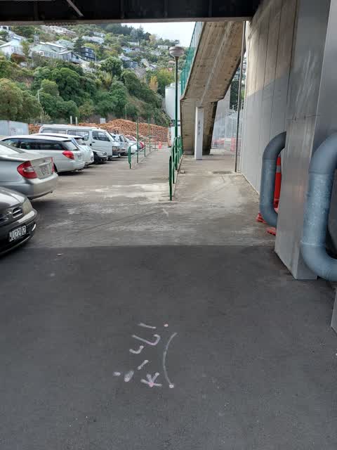
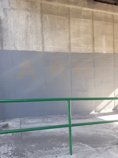
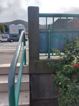
 Graffiti on the footpath underneath the Sutton Quay overpass.
 Graffiti —
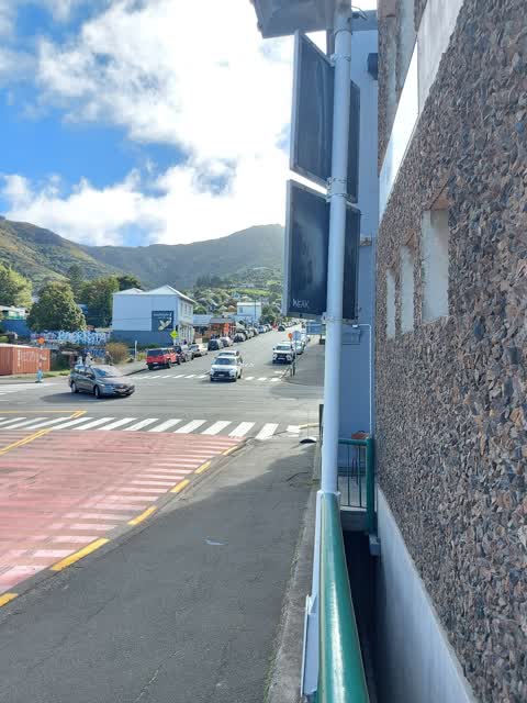
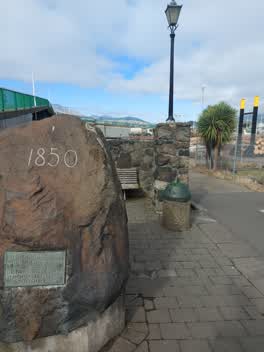
 Graffiti on back of road sign by start of footpath to the ferry, on corner of SH74 and Sutton Quay
 Graffiti —
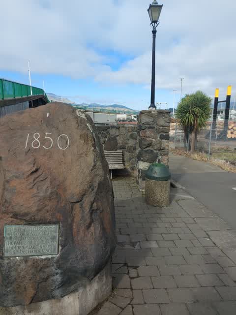
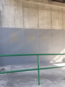
 Graffiti on the bin next to Pilgrims Rock adjacent to Sutton Quay and SH74 intersection.
 Graffiti —
 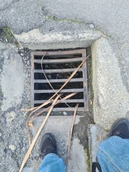 Roading/Streets —
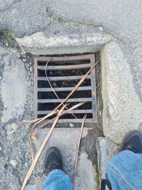
 Blocked storm drains below Pilgrim Rock location
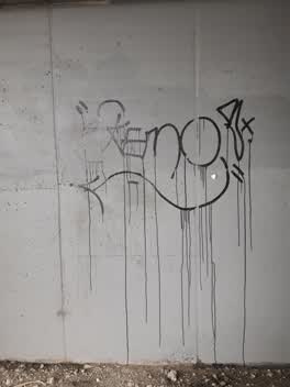 Graffiti —
 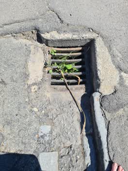 Roading/Streets —
 Clogged stormwater drain
 Graffiti —
 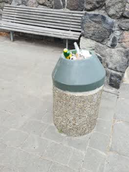 Pollution - General —
 Pilgrim Rock in Lyttelton. Rubbish everywhere
Graffiti —
under bridge
Rubbish/Recycling —
Graffiti —
Donald street
Graffiti —
Graffiti —
Graffiti —
graffiti on public mural
Graffiti —
Graffiti —
Roading/Streets —
smashed manhole & blocked drain on donald street
Roading/Streets —
sump grille collapsed into sump. looks like frame might be broken. sump full of grit and stones, outlet pipe blocked.
Roading/Streets —
sump grille collapsed into sump. looks like frame might be broken. sump full of grit and stones, outlet pipe blocked.
Wastewater/Stormwater —
hi. a lot of sand and gravel has come down the road and completely blocked the drain. The drains in the British hotel are not working due to
Water Supply —
leak of water main under road getting worse. could fail. flowing water now visable.
Graffiti —
Under Oxford St bridge
Roading/Streets —
Red buses from the 900 series on route 28 are leaking oil. This has contaminated the bus stop at lyttelton port at the end of the oxford str
Wastewater/Stormwater —
Sediment and fertilizer debris in gutter going to waterway.
Parks —
The Banks Peninsula Community Board has asked if the pilgrims rock area can be cleaned up, e.g. weeding and cleaning up rubbish. Thanks
Rubbish/Recycling —
Rubish and broken glass.
Rubbish/Recycling —
Bin over flowing. Rubish everywhere.
Also reported on Oxford Street
- 26 Oxford Street — 83 reports
- 54 Oxford Street — 71 reports
- 24 Oxford Street — 28 reports
- 20 Oxford Street — 27 reports
- 26A Oxford Street — 21 reports
- 18 Oxford Street — 12 reports
- 25 Oxford Street — 10 reports
- 54A Oxford Street — 9 reports
The street’s crash record
NZTA’s record names Oxford Street in 3 crashes that hurt somebody since 2006 — 1 seriously hurt, nobody killed.
The green nearby
- Baden Norris Reserve — 90 m to the edge
- Sumner Road Gardens — 111 m to the edge
- Oxford Street Reserve — 245 m to the edge · Botanic
- Albion Square — 246 m to the edge · Botanic
- Sutton Reserve — 300 m to the edge · Botanic
Parks within half a kilometre, measured to the boundary — the council’s open data.
The civic shelf nearby
- Lyttelton Service Centre — 182 m away · Service centre
- Lyttelton Library — 201 m away · Library · 29 Winchester St, Lyttelton 8082
- Lyttelton Cemetery — 315 m away · Cemetery
Libraries, halls and the rest within half a kilometre — the council’s open data.
On the doorstep
- Super — 25 m away · Restaurants
- Hell Fire Club — 30 m away · Bars & pubs
- Black Cat - MNZ 126264 — 31 m away · Business
- Canterbury Cat - MNZ 100691 — 31 m away · Business
Businesses within four hundred metres, measured at the pin — OpenStreetMap and the council directories.
The bus nearby
- Norwich Quay near Canterbury St — 99 m away · route 8, route 155
- Lyttelton Wharf — 119 m away · route 8, route 155
The closest Metro stops, within four hundred and fifty metres.
The named ground
Named places within 1.5 km of this address; the council’s own structure register — bridges, boardwalks and steps standing nearby — the open map’s record.
The remembered names nearby
- Presented to the People of Lyttelton and the Canterbury — 130 m away ·
Presented to the people of Lyttelton and the Canterbury Province by the Canterbury Pilgrim
· 2008 - Kate Sheppard Camellia Commemorating 100 Years of Womens — 131 m away ·
KATE SHEPPARD CAMELLIA Commemorating 100 years of Womens Suffrage Planted by Noeline Allan
· 2008 - J. C. Grubb Mayor S. R. Webb Ex-Mayor Chairman Fire — 137 m away ·
J. C. GRUBB MAYOR S. R. WEBB EX-MAYOR CHAIRMAN FIRE PREVENTION COMMITTEE 1902
· 2008
Inscribed plaques within two hundred and fifty metres — the register’s pins, not surveyed spots. The whole roll is at /plaques.
Renting nearby
new bonds in Lyttelton ran about $600 a week — $50 above the city median of $550 — the suburb page keeps the rent record →.
What was here — Pilgrims Landing Site and Setting
on this spot · 7 Norwich Quay · located to ±8 m · the place’s own record →
On the register. Nothing researched here yet.
What was here — Former Harbour Board Office and Setting
25 m away · 5 Norwich Quay · located to ±13 m · the place’s own record →
On the register. Nothing researched here yet.
What was here — Former British Hotel and Setting
50 m away · 10 Oxford Street · located to ±16 m · the place’s own record →
On the register. Nothing researched here yet.
What was here — 2 Norwich Quay
54 m away · 2 Norwich Quay · located to ±12 m · the place’s own record →
On the register. Nothing researched here yet.
What was here — Signal Box and Setting
63 m away · 1 Norwich Quay · located to ±7 m · the place’s own record →
On the register. Nothing researched here yet.
The civic layer
This ground votes in Banks Peninsula ward — the Banks Peninsula community board. Ward lines don’t always follow suburb lines; this one is measured at the pin, not the suburb’s centre.
What stood on this ground → · On the map → · From the air — the Crown’s aerials back to 1936; search the address on RetroLens →
Questions, answered briefly
35 council reports on record since March 2016 — most often graffiti (16), roading/streets (6), rubbish/recycling (3).
Lyttelton, Christchurch — on Oxford Street.
The heritage register names 5 places at or beside it — Pilgrims Landing Site and Setting, Former Harbour Board Office and Setting.
Baden Norris Reserve — 90 m to its edge.