28 Main Road, Mount Pleasant
16 reports on record since December 2015 · 12 with photographs. The street’s heaviest record is 62 Main Road — 30 reports on file. Indicative rating valuation and school zones, hazards, bin day and what stood here before.
What gets reported here
Photographed here 12 on record



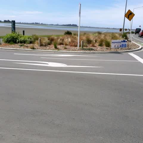
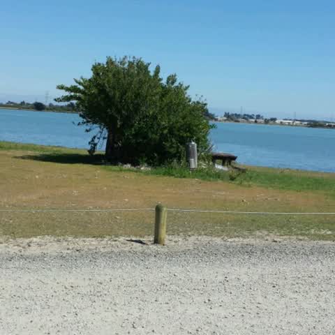
Reported here
 Graffiti on a sign, mural or public art —
 on speed restriction sign at entry to carpark.
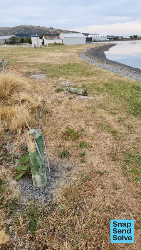
 Park - General Request —
 bollards are smashed. At least two will need replacing.
 Pit and Equipment - General —
 At the entrance to Scott Park. Safety rail has been hit and damaged. Needs replacing
 Graffiti —
 Graffiti on Orion box
 Graffiti —
 Graffiti on road signage to remove & cones to remove with all signage & wooden pole on roadside/ cycleway to remove
 General Request —
 On behalf of myself, the ice cream truck operators, and their customers here, please install a few seats here, so people can have better ame
 Park - General Request —
 Scott Park. Bollard needs putting back in the ground - reported last year
- Park - General Request —
- Graffiti —
- Park - General Request —
- Roading/Streets —
A yellow metal barrier on the coastal pathway has been smashed over by a car. it's quite dangerous, especially in the dark as it protrudes i
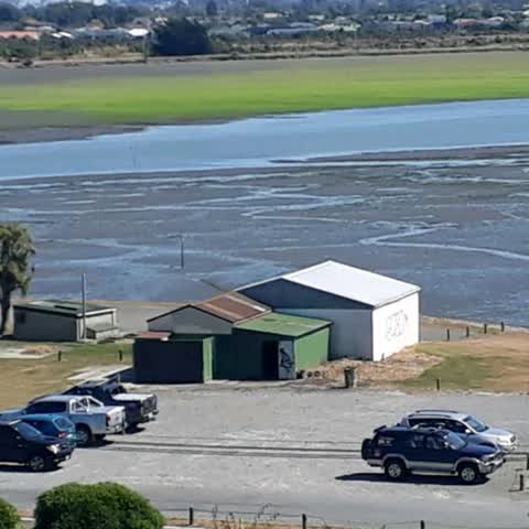
Graffiti —
On scout boat shed and door of old petanque shed
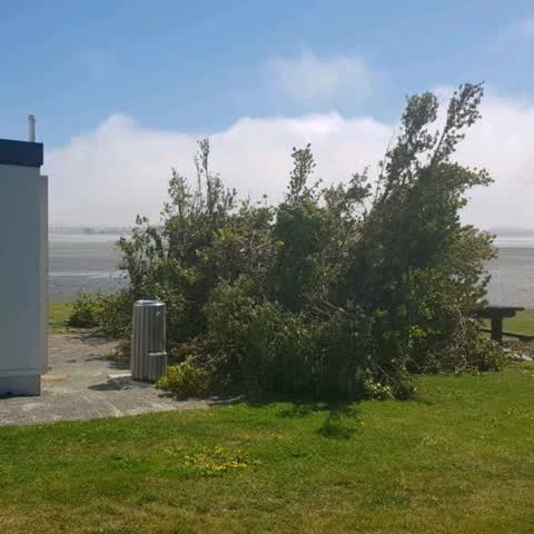
Parks —
Someone has had a poor go at pruning these shrubs... am assuming they were blocking a view. Needs a tidy up and thin out probably.
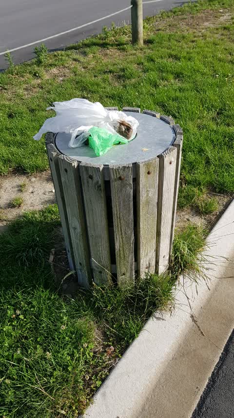
Rubbish/Recycling —
Full bin
Roading/Streets —
This board declaring Scott park to be visitor parking for Carl Taylor homes has been up for several days at the entrance to the coastal path
Water Supply —
It would be great to have human and dog water available on coastal pathway - this one is still earthquake damaged and water not available
Also reported on Main Road
- 62 Main Road — 30 reports
- 10 Main Road — 22 reports
- 12 Main Road — 16 reports
- 32 Main Road — 14 reports
- 24 Main Road — 13 reports
- 2A Main Road — 11 reports
- 2 Main Road — 10 reports
- 10A Main Road — 10 reports
The street’s crash record
NZTA’s record names Main Road in 33 crashes that hurt somebody since 2006 — 1 person killed, 10 seriously hurt.
The green nearby
- Scott Park Ferrymead — you are in it · 2 ha
- The Brae — 135 m to the edge
- Te Awakura Reserve — 226 m to the edge
- King Park — 350 m to the edge · 2 ha
- Settlers Reserve — 366 m to the edge · 13 ha
Parks within half a kilometre, measured to the boundary — the council’s open data.
On the doorstep
- Connect Chiropractic — 383 m away · Alternative
- Anytime Fitness — 395 m away · Gyms & fitness
Businesses within four hundred metres, measured at the pin — OpenStreetMap and the council directories.
The bus nearby
The closest Metro stops, within four hundred and fifty metres.
The tracks through here
- Walk and bike track through Mount Pleasant — 28 m to the line · walk · bike
- Walk and bike track through Mount Pleasant — 28 m to the line · walk · bike
- Walk and bike track through Mount Pleasant — 58 m to the line · walk · bike
- Walk and bike track through Mount Pleasant — 348 m to the line · walk · bike
- Walk and bike track through Mount Pleasant — 367 m to the line · walk · bike
Tracks whose line passes within half a kilometre, measured to the line itself — the council’s open data.
The named ground
Named water within 500 m of this address, measured to the line or the edge; the council’s own structure register — bridges, boardwalks and steps standing nearby — the open map’s record.
The remembered names nearby
- Jonathan McGregor Smith / on Mt. D’Archiac — 200 m away ·
JONATHAN McGREGOR SMITH / on Mt. D’Archiac / May 6th 1955 – June 1st 2003 / Grandson of Ro
· 2009
Inscribed plaques within two hundred and fifty metres — the register’s pins, not surveyed spots. The whole roll is at /plaques.
Renting nearby
new bonds in Mount Pleasant ran about $700 a week — $150 above the city median of $550 — the suburb page keeps the rent record →.
What was here — Former Dwelling and Setting
189 m away · 2A Main Road · located to ±7 m · the place’s own record →
On the register. Nothing researched here yet.
The civic layer
This ground votes in Heathcote ward — the Spreydon-Cashmere-Heathcote community board. Ward lines don’t always follow suburb lines; this one is measured at the pin, not the suburb’s centre.
What stood on this ground → · On the map → · From the air — the Crown’s aerials back to 1936; search the address on RetroLens →
Questions, answered briefly
16 council reports on record since December 2015 — most often park - general request (4), graffiti (4), roading/streets (2).
Mount Pleasant, Christchurch — on Main Road.
The heritage register names a place at or beside it — Former Dwelling and Setting.
Scott Park Ferrymead — the address is inside it, 2 ha.