Dalraith Farm Building and Setting
Ouruhia
What is known
Nothing is recorded about this place yet.
It is on a register, which is how it got onto this map, but no statement about its past has been read out of a source and written down. When one is, it will appear here with the document it came from beside it.
Know a document this record should carry? The corrections page says how to file it.
Nearby on the register
- Former Fruit Storage Shed and Setting, 10 Farrells Road
- Dwelling and Setting, 27 Spencerville Road
- Dwelling and Setting, Spring Grove, 94 Bill Hammond Drive
- St David's Church and Setting, 831 Main North Road
- St Mark's Church and Setting, 340 Prestons Road
- Commercial building and Setting, Scanes Store, 1 Cassidy Place
- Dwelling and setting, Belfast School Master's House, 665 Main North Road
- Kapuatohe Reserve, 665 Main North Road
The reports nearby
11 council reports pinned within 250 m of the place, most often Roads & footpaths, 11 with a photograph. A pin is where a reporter stood, not a claim about the place itself.
 Pavement - Damaged
 Pothole
 Pothole
 Pothole
 Pavement - Damaged
 Pavement - General
 Pavement - Damaged
 Pavement - General
 Accessibility
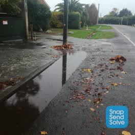 Roading/Streets
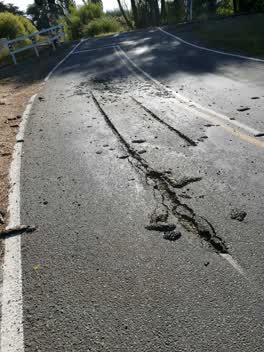 Roading/Streets
Questions, answered briefly
What is Dalraith Farm Building and Setting?
A place on the record in Ouruhia.
Where is Dalraith Farm Building and Setting?
Ouruhia, on the map →