33 Willowview Drive, Redwood
17 reports on record since July 2018 · 12 with photographs. The most-reported address on Willowview Drive. Indicative rating valuation and school zones, hazards, bin day and what stood here before.
What gets reported here
- Parks — 7
- Park - General Request — 3
- Graffiti — 3
- Water General — 1
- Overgrown Vegetation — 1
- Fallen Tree — 1
Photographed here 12 on record


Reported here
 Park - General Request —
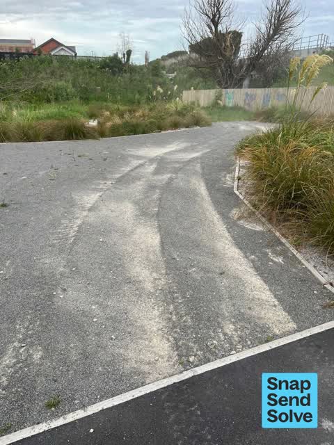
 Information for parks team: at 7:46pm on 19th November, I witnessed a rider of a red 4-wheeler motorbike ride from Harakeke Reserve/Estate u
 Water General —
 Cover has been unbolted at both ends. Can easily be lifted
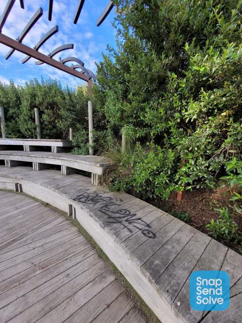
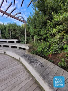
 Graffiti —
 Penis
- Overgrown Vegetation —
- Fallen Tree —
- Park - General Request —
- Dumped Rubbish —
- Graffiti —
 Park - General Request —
 Possible trip/ fall hazard. Cavity forming under boardwalk around Spring. A small child could fall into it and get stuck under the board wal
 Graffiti —
  Parks —
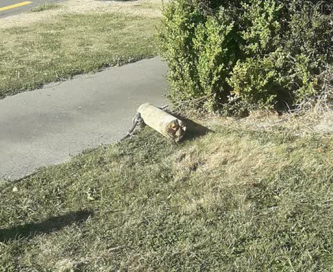
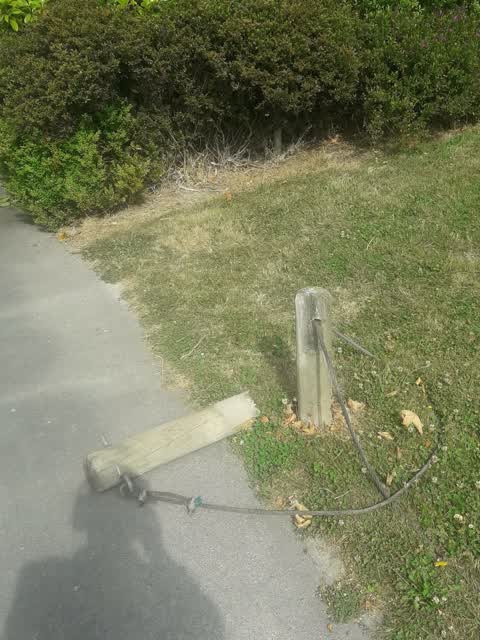
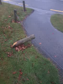
 damaged post - tripping hazard
 Parks —
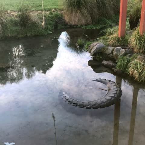
 Fished this out of waterway, couldn't carry it home on dog walk. Please remove.
Parks —
Parks —
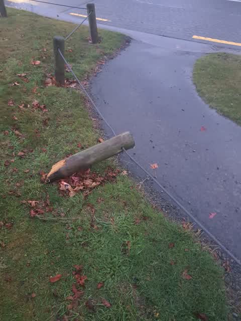
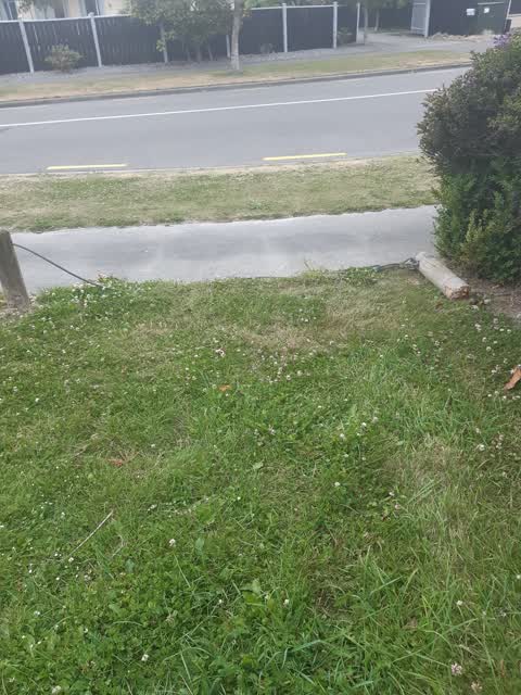
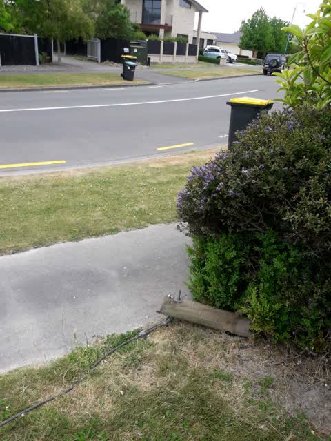
broken bollard
Parks —
bollard chain down by the entrance to springs by railway line
Parks —
Broken fence post
Parks —
tyre and rubbish in spring
Also reported on Willowview Drive
- 53 Willowview Drive — 16 reports
- 58 Willowview Drive — 6 reports
- 64 Willowview Drive — 4 reports
- 52 Willowview Drive — 4 reports
- 49 Willowview Drive — 4 reports
- 104 Willowview Drive — 4 reports
- 56 Willowview Drive — 3 reports
- 48 Willowview Drive — 3 reports
The street’s crash record
NZTA’s record names Willowview Drive in 2 crashes that hurt somebody since 2006 — 2 seriously hurt, nobody killed.
The green nearby
- Styx River Conservation Reserve — you are in it · 11 ha
- Styx River Esplanade Reserve No. 2 — 77 m to the edge · Regional
- Vaughan Reserve — 265 m to the edge
- O'neill Reserve — 278 m to the edge
- Murchison Park — 442 m to the edge · Sports ground · 4 ha
Parks within half a kilometre, measured to the boundary — the council’s open data.
On the doorstep
- Richard Hadlee Retirement Village — 194 m away · Business
Businesses within four hundred metres, measured at the pin — OpenStreetMap and the council directories.
The bus nearby
The closest Metro stops, within four hundred and fifty metres.
The tracks through here
- Walk and bike track through Redwood — 29 m to the line · walk · bike
- Walk and bike track through Redwood — 427 m to the line · walk · bike
- Walk and bike track through Redwood — 453 m to the line · walk · bike
- Walk and bike track through Redwood — 459 m to the line · walk · bike
Tracks whose line passes within half a kilometre, measured to the line itself — the council’s open data.
The named ground
Named water within 500 m of this address, measured to the line or the edge; Named places within 1.5 km of this address; the council’s own structure register — bridges, boardwalks and steps standing nearby — the open map’s record.
Renting nearby
new bonds in Redwood ran about $542 a week — about the city median — the suburb page keeps the rent record →.
The civic layer
This ground votes in Papanui ward — the Papanui-Innes-Central community board. Ward lines don’t always follow suburb lines; this one is measured at the pin, not the suburb’s centre.
What stood on this ground → · On the map → · From the air — the Crown’s aerials back to 1936; search the address on RetroLens →
Questions, answered briefly
17 council reports on record since July 2018 — most often parks (7), park - general request (3), graffiti (3).
Redwood, Christchurch — on Willowview Drive.
Nothing on the heritage register at this exact spot — the record around this ground →
Styx River Conservation Reserve — the address is inside it, 11 ha.