115 Cranford Street
9 council reports since January 2017, 8 carrying a photograph. The street’s heaviest record is 131 Cranford Street, 19 reports on file.
From the air, then
Sourced from Canterbury Maps and partners. LINZ, CC BY 3.0 NZ. Each frame is cut from Environment Canterbury’s historic imagery MapServer for that decade, only where the Footprints layer names a CC BY survey (NZAM-covered spots stay out). RetroLens holds more Crown aerials →
The green nearby
- English Park, you are in it · Sports ground · 3 ha
- Berwick Reserve, 240 m to the edge
- St Albans Tennis Club, 377 m to the edge · Sports ground
- St Albans Park, 442 m to the edge · Sports ground · 6 ha · playground, 101 pieces
Parks within half a kilometre, measured to the boundary, the council’s open data. The whole roll is at /parks.
On the doorstep
- Mainland Football, 21 m away · Clubs
- Liquor King Cranford, 178 m away · Bottle stores
- Liquorland Cranford, 182 m away · Bottle stores
- Souvlaki-licious, 225 m away · Fast food
Businesses within four hundred metres, measured at the pin, OpenStreetMap and the council directories.
The bus nearby
The closest Metro stops, within four hundred and fifty metres.
The tracks through here
- Walk and bike track through Saint Albans, 30 m to the line · walk · bike
- Walk and bike track through Saint Albans, 52 m to the line · walk · bike
- Walk and bike track through Saint Albans, 209 m to the line · walk · bike
- Walk and bike track through Saint Albans, 328 m to the line · walk · bike
Tracks whose line passes within half a kilometre, the council’s open data.
The named ground
Named water within 500 m of this address, measured to the line or the edge; the council’s own structure register, bridges, boardwalks and steps standing nearby, the open map’s record.
The remembered names nearby
- English Park, 16 m away ·
English Park/ Isaac Philpott's house origionally on this site of the present English Park.
· 2026 - New Zealand Football / Southern Regional Facilities, 84 m away ·
NEW ZEALAND FOOTBALL / SOUTHERN REGIONAL FACILITIES / MAINLAND FOOTBALL TURF PITCH / (offi
Inscribed plaques within two hundred and fifty metres, the register’s pins, not surveyed spots. The whole roll is at /plaques.
Renting nearby
new bonds in Saint Albans ran about $514 a week, $36 below the city median of $550, the suburb page keeps the rent record →.
What gets reported here
- Parks, 3
- Roading/Streets, 2
- Graffiti, 2
- Rubbish and Bins - General, 1
- Litter, 1
Photographed here 8 on record

What’s on record
 Litter, 10 Sept 2026
 rubbish filling up the drinking fountain.
- Rubbish and Bins - General, 8 Aug 2023
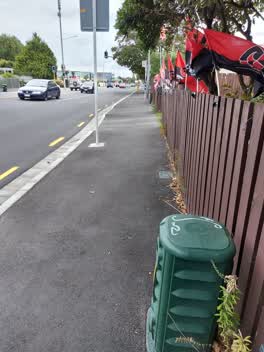 Graffiti, 25 Mar 2022
 Graffiti on top of Telecomms small green box. ID C315A 87 Outside 106 Cranford St
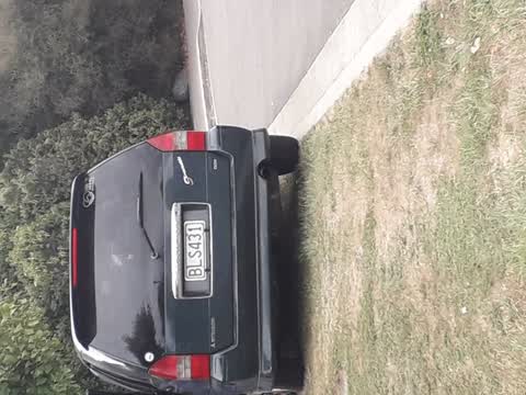
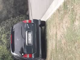 Roading/Streets, 5 Mar 2021
 every day this vehicle parks on this grass verge for school pickup. this creates a dangerous situation for pedestrians.
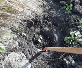 Parks, 14 Jul 2020
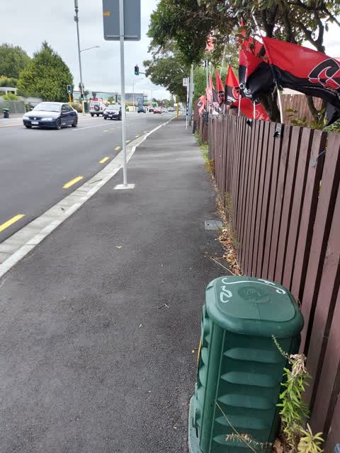
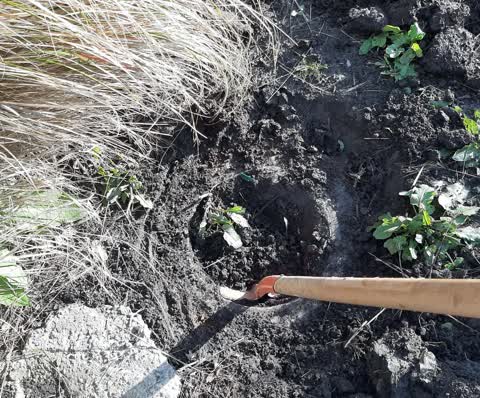
 Scruffy dome sump by the sign for English Park had been buried and when it rains. The run off from the carpark runs across footpath. I have
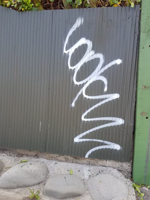
Graffiti, 15 Jan 2020
English Park gate, Cranford Street
Roading/Streets, 29 Aug 2019
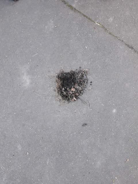
pothole on path next to English Park carpark. located by rubbish bin where footpath goes over bridge right next to school
Parks, 19 Aug 2019
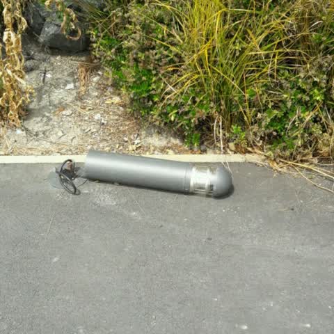
English park carpark light billiard smashed off base
Parks, 31 Jan 2017
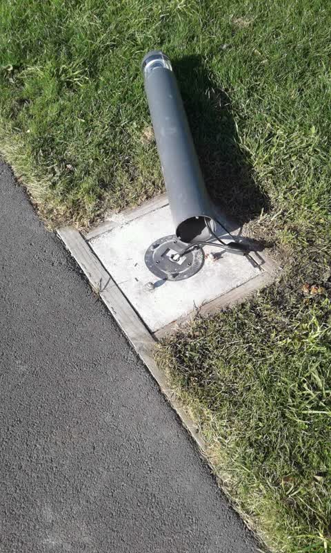
Light knocked over at Cranford St pedestrian entrance to English Park
Elsewhere on Cranford Street
- 131 Cranford Street, 19 reports
- 4 Cranford Street, 18 reports
- 127 Cranford Street, 18 reports
- 186 Cranford Street, 14 reports
- 117 Cranford Street, 12 reports
- 321 Cranford Street, 10 reports
- 30 Cranford Street, 9 reports
- 293A Cranford Street, 9 reports
The street’s crash record
NZTA’s record names Cranford Street in 113 crashes that hurt somebody since 2006, 1 person killed, 15 seriously hurt.
The civic layer
This ground votes in Innes ward, the Papanui-Innes-Central community board is its local layer. Ward lines don’t always follow suburb lines; this one is measured at the pin, not the suburb’s centre. The whole roll is at /wards.
Cranford Street, the whole record → · Everything about Saint Albans → · What stood on this ground → · On the map → · From the air, RetroLens holds the Crown’s aerials back to 1936; search the address there →
Questions, answered briefly
9 council reports on record since January 2017, most often parks (3), roading/streets (2), graffiti (2).
Saint Albans, Christchurch, on Cranford Street.
Nothing on the heritage register at this exact spot, the record around this ground →
English Park, the address is inside it, 3 ha.