160 Estuary Road
7 council reports since January 2016, 7 carrying a photograph. The street’s heaviest record is 222 Estuary Road, 33 reports on file.
From the air, then
Sourced from Canterbury Maps and partners. RNZAF, CC BY 3.0 NZ. Each frame is cut from Environment Canterbury’s historic imagery MapServer for that decade, only where the Footprints layer names a CC BY survey (NZAM-covered spots stay out). RetroLens holds more Crown aerials →
The green nearby
- South New Brighton Park, 80 m to the edge · Sports ground · 30 ha · playground, 69 pieces
- Bridge Reserve, 161 m to the edge · 7 ha
- South New Brighton Beach, 348 m to the edge · Regional · 37 ha
- Te Karoro Karoro Reserve, 367 m to the edge · 2 ha · playground, 12 pieces
Parks within half a kilometre, measured to the boundary, the council’s open data. The whole roll is at /parks.
On the doorstep
- South New Brighton Community Centre, 123 m away · Venues & events
- Common Ground - South Brighton, 380 m away · Fast food
- Dune Cafe, 380 m away · Cafés
Businesses within four hundred metres, measured at the pin, OpenStreetMap and the council directories.
The bus nearby
- Estuary Rd near Beatty St, 93 m away · route 60
- Estuary Rd near Cradock St, 147 m away · route 60
The closest Metro stops, within four hundred and fifty metres.
The tracks through here
- Walk and bike track through South New Brighton, 174 m to the line · walk · bike
Tracks whose line passes within half a kilometre, the council’s open data.
The named ground
Named places within 1.5 km of this address; the council’s own structure register, bridges, boardwalks and steps standing nearby, the open map’s record.
The remembered names nearby
- Proudly Presented / by the / Christchurch Garden City Trust, 120 m away ·
Proudly Presented / by the / CHRISTCHURCH GARDEN CITY TRUST
· 1899 - Proudly Presented / by the / Christchurch Garden City Trust, 121 m away ·
Proudly Presented / by the / CHRISTCHURCH GARDEN CITY TRUST
· 1899 - Proudly Presented / by the / Christchurch Garden City Trust, 123 m away ·
Proudly Presented / by the / CHRISTCHURCH GARDEN CITY TRUST
· 1899
Inscribed plaques within two hundred and fifty metres, the register’s pins, not surveyed spots. The whole roll is at /plaques.
Renting nearby
new bonds in South New Brighton ran about $640 a week, $90 above the city median of $550, the suburb page keeps the rent record →.
What gets reported here
Photographed here 7 on record

What’s on record
 Pavement - Damaged, 27 Sept 2024
Missing plate cover outside South New Brighton School. Dangerous with the amount of children that use this area daily
 Parks, 13 May 2022
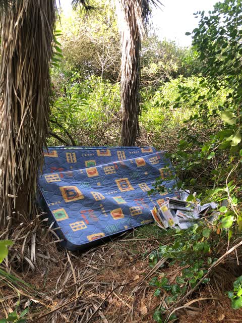
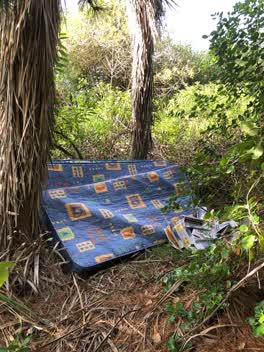
Mattresses dumped in forest that backs onto South Brighton School. Just off the sidetrack that leads to the north end of the school off the
Roading/Streets, 18 Jun 2021
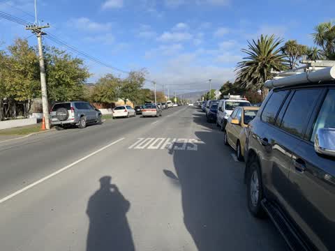
School pedestrian crossing diamond and no parking lines, south side of crossing, missing for extended period of time due to road works.
Rubbish/Recycling, 4 Sept 2020
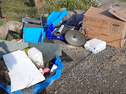
in carpark far end of Estuary road
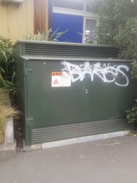
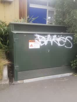 Graffiti, 17 Jul 2020
Parks, 18 Apr 2018
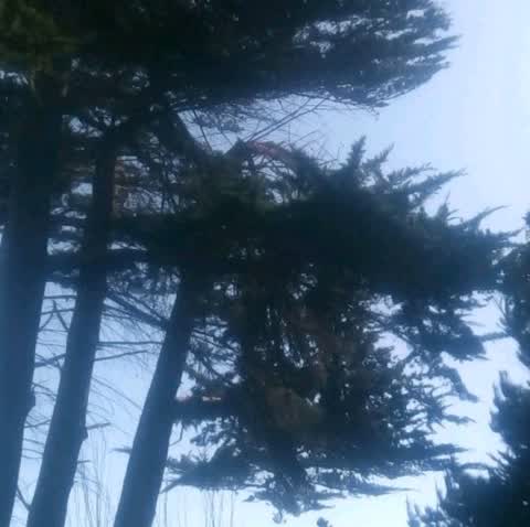
As a friend and I were walking the estuary walkway behind the school a large part of the tree in the photos has fallen and landed on my stro
Parks, 30 Jan 2016
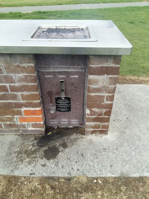
Barbecue jammed on
Elsewhere on Estuary Road
- 222 Estuary Road, 33 reports
- 204B Estuary Road, 27 reports
- 404 Estuary Road, 20 reports
- 392A Estuary Road, 19 reports
- 190 Estuary Road, 19 reports
- 386A Estuary Road, 18 reports
- 236 Estuary Road, 15 reports
- 402 Estuary Road, 13 reports
The street’s crash record
NZTA’s record names Estuary Road in 17 crashes that hurt somebody since 2006, 3 people killed, 5 seriously hurt.
The civic layer
This ground votes in Coastal ward, the Coastal-Burwood-Linwood community board is its local layer. Ward lines don’t always follow suburb lines; this one is measured at the pin, not the suburb’s centre. The whole roll is at /wards.
Estuary Road, the whole record → · Everything about South New Brighton → · What stood on this ground → · On the map → · From the air, RetroLens holds the Crown’s aerials back to 1936; search the address there →
Questions, answered briefly
7 council reports on record since January 2016, most often parks (3), rubbish/recycling (1), roading/streets (1).
South New Brighton, Christchurch, on Estuary Road.
Nothing on the heritage register at this exact spot, the record around this ground →
South New Brighton Park, 80 m to its edge, 30 ha.