239 Estuary Road, South New Brighton
11 reports on record since December 2017 · 10 with photographs. The street’s heaviest record is 222 Estuary Road — 33 reports on file. Indicative rating valuation and school zones, hazards, bin day and what stood here before.
What gets reported here
Photographed here 10 on record


Reported here
 Graffiti on a traffic light pole or cabinet, or wa —
 graffiti on lamp post
 Dumped Rubbish —
 Someone has dumped a TV on our berm
 Pavement - Damaged —
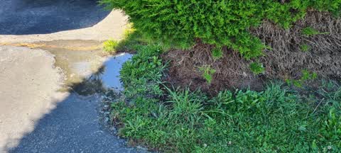
 Water works completed on pavement outside our property. Asphalt has been left uneven and with a ledge. Berm has been left without grass or f
 Hazard — vehicle —
 Just an FYI, neighbour is parking over our driveway making it difficult to get our car out as there is a lamp post on the other side making
 Pavement - Damaged —
 Still waiting for this to be concreted. Please do asap. From 5778934.
 Pavement - Damaged —
 Water pipe burst and has been repaired concrete needs replacing. This is on the council side of the boundary.
 Rubbish and Bins - General —
 Green bin emptied this morning and has been spilt causing waste over footpath. I have cleaned this up as it was a mess, not very impressed.
- Pavement - Damaged —
 Water Leak —
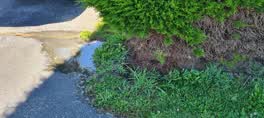
 Water leak at edge of drive way getting worse, started with a little water now progressed to a decent puddle. First noticed 3 days ago.
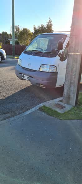 Roading/Streets —
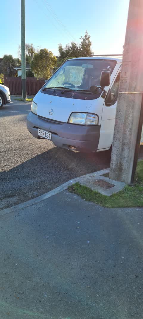
 this van (rego FER134) has been parked at the edge of our driveway (less than 1m) for the past 3 weeks and has not been moved. it is not our
Wastewater/Stormwater —
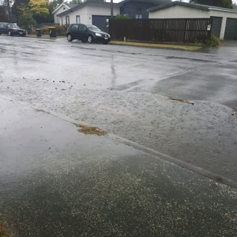
Stormwater drain not draining and causing surface flooding on the streets and into our driveway.
Also reported on Estuary Road
- 222 Estuary Road — 33 reports
- 204B Estuary Road — 27 reports
- 404 Estuary Road — 20 reports
- 392A Estuary Road — 19 reports
- 190 Estuary Road — 19 reports
- 386A Estuary Road — 18 reports
- 236 Estuary Road — 15 reports
- 402 Estuary Road — 13 reports
The street’s crash record
NZTA’s record names Estuary Road in 17 crashes that hurt somebody since 2006 — 3 people killed, 5 seriously hurt.
The green nearby
- South New Brighton Park — 99 m to the edge · Sports ground · 30 ha
- South New Brighton Beach — 310 m to the edge · Regional · 37 ha
- Bridge Reserve — 339 m to the edge · 7 ha
Parks within half a kilometre, measured to the boundary — the council’s open data.
On the doorstep
- South New Brighton Community Centre — 314 m away · Venues & events
- Pleasant Point Yacht Club — 317 m away · Clubs
Businesses within four hundred metres, measured at the pin — OpenStreetMap and the council directories.
The bus nearby
The closest Metro stops, within four hundred and fifty metres.
The tracks through here
- Walk and bike track through South New Brighton — 258 m to the line · walk · bike
Tracks whose line passes within half a kilometre, measured to the line itself — the council’s open data.
The named ground
Named places within 1.5 km of this address; the council’s own structure register — bridges, boardwalks and steps standing nearby — the open map’s record.
Renting nearby
new bonds in South New Brighton ran about $640 a week — $90 above the city median of $550 — the suburb page keeps the rent record →.
The civic layer
This ground votes in Coastal ward — the Coastal-Burwood-Linwood community board. Ward lines don’t always follow suburb lines; this one is measured at the pin, not the suburb’s centre.
What stood on this ground → · On the map → · From the air — the Crown’s aerials back to 1936; search the address on RetroLens →
Questions, answered briefly
11 council reports on record since December 2017 — most often pavement - damaged (4), water leak (1), wastewater/stormwater (1).
South New Brighton, Christchurch — on Estuary Road.
Nothing on the heritage register at this exact spot — the record around this ground →
South New Brighton Park — 99 m to its edge, 30 ha.