213 Rocking Horse Road, Southshore
16 reports on record since March 2022 · 8 with photographs. The street’s heaviest record is 220 Rocking Horse Road — 45 reports on file. Indicative rating valuation and school zones, hazards, bin day and what stood here before.
What gets reported here
- Rubbish and Bins - General — 4
- Hazard — vehicle — 3
- Parks — 2
- Water Leak — 1
- Vandalism - General — 1
- Rubbish/Recycling — 1
Photographed here 8 on record


Reported here
 General Request —
Keys left in the bin - have moved to behind the bin on the ground
- Rubbish and Bins - General —
- Hazard — vehicle —
- Hazard — vehicle —
- Park - General Request —
- Facility - General Request —
- Rubbish and Bins - General —
- Water Leak —
- Vandalism - General —
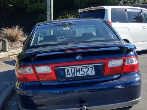
 Hazard — vehicle —
Parked across entrance to reserve
 Rubbish and Bins - General —
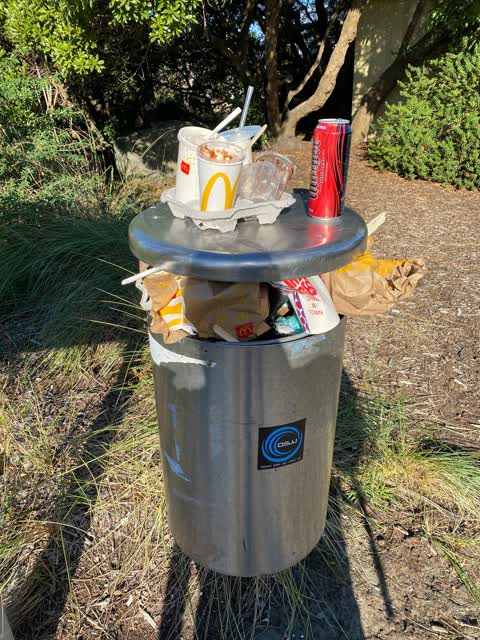
Bin at end of Rockinghorse Rd overflowing and scattered about.
 Rubbish and Bins - General —
Hi, as urban bus driver arrived for the first time here found the bin overfull and rubbish around the bin
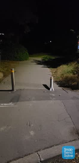 Parks —
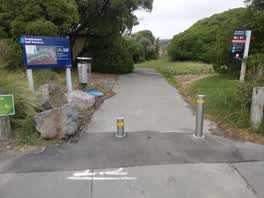 Parks —
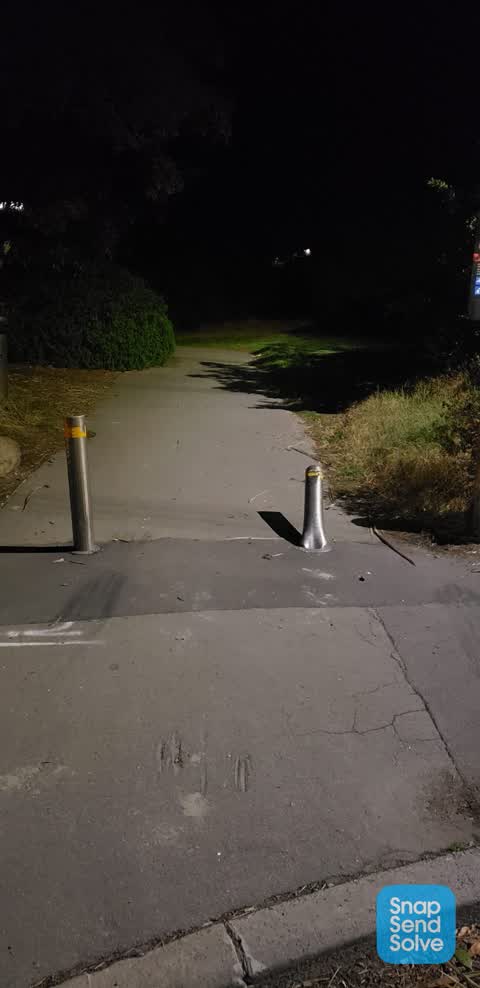
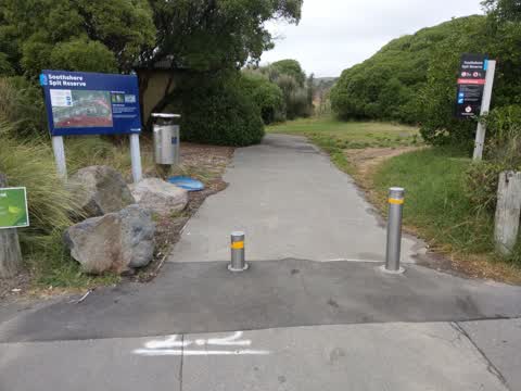
Bollard is not up
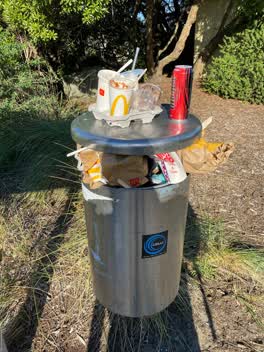 Rubbish/Recycling —
Already full bin at Southshore spit reserve entry, please can it be emptied?
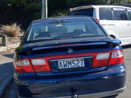 Roading/Streets —
Second time today, see previous incident...the entrance to the reserve was accessible for Lee's than 20 minutes
Also reported on Rocking Horse Road
- 220 Rocking Horse Road — 45 reports
- 215 Rocking Horse Road — 12 reports
- 216 Rocking Horse Road — 10 reports
- 154 Rocking Horse Road — 9 reports
- 34 Rocking Horse Road — 8 reports
- 66A Rocking Horse Road — 7 reports
- 42 Rocking Horse Road — 7 reports
- 78 Rocking Horse Road — 6 reports
The street’s crash record
NZTA’s record names Rocking Horse Road in 8 crashes that hurt somebody since 2006 — 2 seriously hurt, nobody killed.
The green nearby
- Spit Reserve — 12 m to the edge · Regional · 27 ha
- Wimbrels Way Reserve — 319 m to the edge
Parks within half a kilometre, measured to the boundary — the council’s open data.
The bus nearby
The closest Metro stops, within four hundred and fifty metres.
The named ground
Named places within 1.5 km of this address — the open map’s record.
The remembered names nearby
- Tachibana Girls High School / 1997 - 2000 — 58 m away ·
Tachibana Girls High School / 1997 - 2000
· 1998
Inscribed plaques within two hundred and fifty metres — the register’s pins, not surveyed spots. The whole roll is at /plaques.
Renting nearby
new bonds in Southshore ran about $640 a week — $90 above the city median of $550 — the suburb page keeps the rent record →.
The civic layer
This ground votes in Coastal ward — the Coastal-Burwood-Linwood community board. Ward lines don’t always follow suburb lines; this one is measured at the pin, not the suburb’s centre.
What stood on this ground → · On the map → · From the air — the Crown’s aerials back to 1936; search the address on RetroLens →
Questions, answered briefly
16 council reports on record since March 2022 — most often rubbish and bins - general (4), hazard — vehicle (3), parks (2).
Southshore, Christchurch — on Rocking Horse Road.
Nothing on the heritage register at this exact spot — the record around this ground →
Spit Reserve — 12 m to its edge, 27 ha.