216 Rocking Horse Road, Southshore
11 reports on record since January 2021 · 9 with photographs. The street’s heaviest record is 220 Rocking Horse Road, 45 reports on file. Indicative rating valuation and school zones, hazards, bin day and what stood here before.
What gets reported here
- Water Fountain, 2
- Parks, 2
- Water Leak, 1
- Rubbish and Bins - General, 1
- Public Toilet, 1
- Hazard, vehicle, 1
Photographed here 9 on record


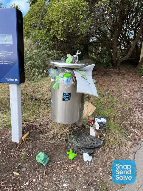
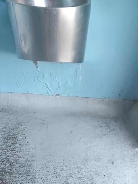
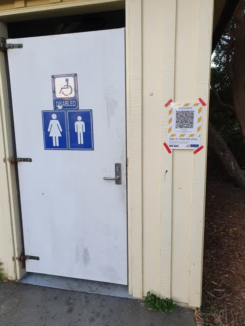
Reported here
 Hazard, vehicle,
parking on yellow lines
 Water Fountain,
water fountain running water. o
 Water Fountain,
Broken fountain for months
 Graffiti on a fence, building or structure,
Southshore toikets
 Dumped Rubbish,
Helium tanks dumped next to southshore spit reserve bin
 Graffiti on a bus stop or public toilet,
- Public Toilet,
Hi, as urban bus driver had to use thus facility but this could do with a clean up please.thank you
 Rubbish and Bins - General,
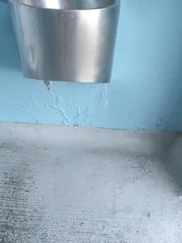 Water Leak,
leak from basin
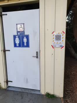 Parks,
light in toilet not working
- Parks,
The drain in the drinking fountain needs to be unblocked. It has been blocked for a couple of weeks. The water doesn't drain away at all.
Also reported on Rocking Horse Road
- 220 Rocking Horse Road, 45 reports
- 213 Rocking Horse Road, 16 reports
- 215 Rocking Horse Road, 12 reports
- 154 Rocking Horse Road, 9 reports
- 34 Rocking Horse Road, 8 reports
- 66A Rocking Horse Road, 7 reports
- 42 Rocking Horse Road, 7 reports
- 78 Rocking Horse Road, 6 reports
From the air, then
Sourced from Canterbury Maps and partners. RNZAF, CC BY 3.0 NZ. Each frame is cut from Environment Canterbury’s historic imagery MapServer for that decade, only where the Footprints layer names a CC BY survey (NZAM-covered spots stay out). RetroLens holds more Crown aerials →
The street’s crash record
NZTA’s record names Rocking Horse Road in 8 crashes that hurt somebody since 2006, 2 seriously hurt, nobody killed.
The green nearby
- Spit Reserve, 8 m to the edge · Regional · 27 ha
- Wimbrels Way Reserve, 325 m to the edge
Parks within half a kilometre, measured to the boundary, the council’s open data.
The bus nearby
The closest Metro stops, within four hundred and fifty metres.
The named ground
Named places within 1.5 km of this address, the open map’s record.
The remembered names nearby
- Tachibana Girls High School / 1997 - 2000, 59 m away ·
Tachibana Girls High School / 1997 - 2000
· 1998
Inscribed plaques within two hundred and fifty metres, the register’s pins, not surveyed spots. The whole roll is at /plaques.
Renting nearby
new bonds in Southshore ran about $640 a week, $90 above the city median of $550, the suburb page keeps the rent record →.
The civic layer
This ground votes in Coastal ward, the Coastal-Burwood-Linwood community board. Ward lines don’t always follow suburb lines; this one is measured at the pin, not the suburb’s centre.
What stood on this ground → · On the map → · From the air, the Crown’s aerials back to 1936; search the address on RetroLens →
Questions, answered briefly
11 council reports on record since January 2021, most often water fountain (2), parks (2), water leak (1).
Southshore, Christchurch, on Rocking Horse Road.
Nothing on the heritage register at this exact spot, the record around this ground →
Spit Reserve, 8 m to its edge, 27 ha.