186 Armagh Street, Christchurch Central City
12 reports on record since September 2020 · 11 with photographs. The street’s heaviest record is 177 Armagh Street — 266 reports on file. Indicative rating valuation and school zones, hazards, bin day and what stood here before.
What gets reported here
Photographed here 11 on record


Reported here
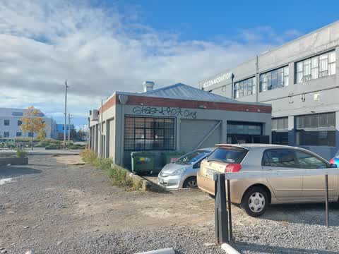
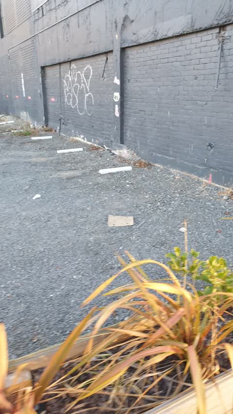
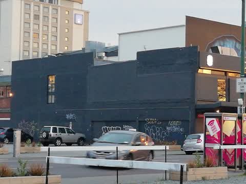
 Graffiti on a fence, building or structure —
 Graffiti on wall
 Animal - Deceased —
 Dead seagull babies - I think 2-3 of them
 Graffiti on a fence, building or structure —
  Graffiti —
  Graffiti —
 - Vandalism - General —
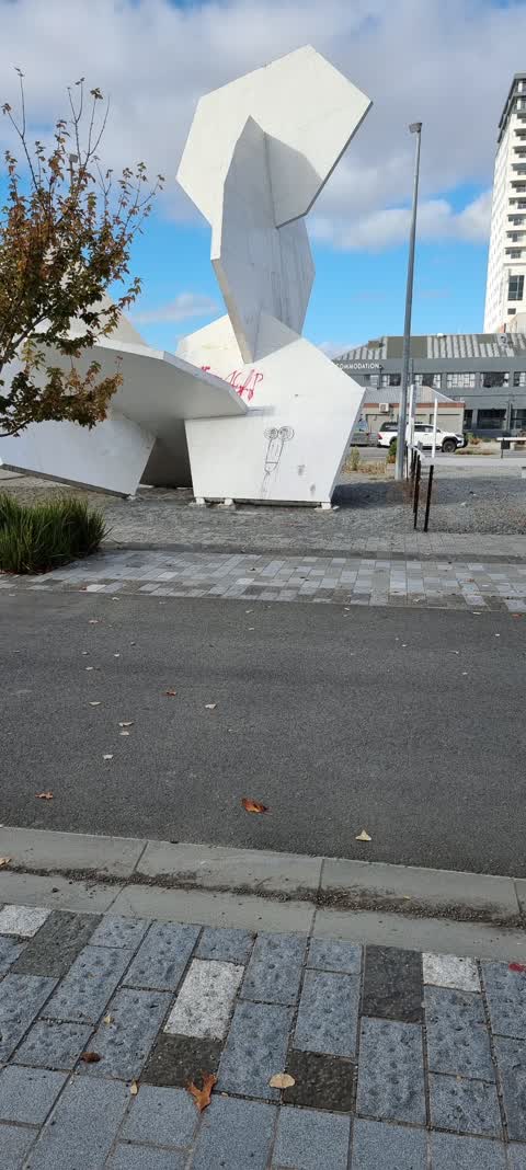
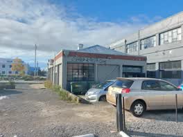 Graffiti —
 Big tag on back of building of Child Sister cafe on Manchester Street
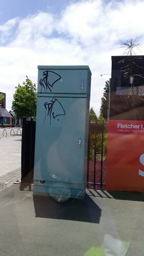
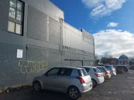 Graffiti —
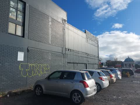
 Big yellow tags on back of Casa Publica building. Edge of the Wilson car park at corner of Armargh and Manchester
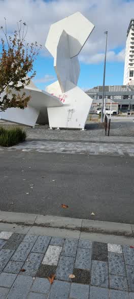 Graffiti —
 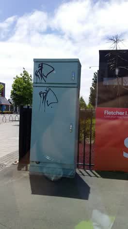 Graffiti —
 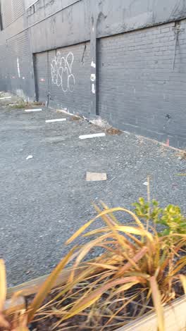 Graffiti —
 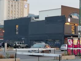 Graffiti —
 Various graffiti on side of Casa Publica Restaurant building
Also reported on Armagh Street
- 177 Armagh Street — 266 reports
- 90 Armagh Street — 234 reports
- 163 Armagh Street — 116 reports
- 167 Armagh Street — 109 reports
- 89 Armagh Street — 107 reports
- 88 Armagh Street — 89 reports
- 199 Armagh Street — 74 reports
- 161 Armagh Street — 63 reports
The street’s crash record
NZTA’s record names Armagh Street in 86 crashes that hurt somebody since 2006 — 13 seriously hurt, nobody killed.
The green nearby
- Edmonds Band Rotunda — 107 m to the edge · Botanic
- Victoria Square — 214 m to the edge · Botanic · 2 ha
- Cathedral Square — 238 m to the edge · Botanic
- Poplars Reserve — 257 m to the edge · Botanic
- Latimer Square — 268 m to the edge · Botanic · 2 ha
Parks within half a kilometre, measured to the boundary — the council’s open data.
The civic shelf nearby
- Turanga Library — 202 m away · Library · Cathedral Square, Christchurch
- Triangle — 455 m away · Car park
- Aldersgate — 486 m away · Car park
Libraries, halls and the rest within half a kilometre — the council’s open data.
On the doorstep
- Casa Publica — 19 m away · Restaurants
- Haven Tattoo — 26 m away · Tattoo & piercing
- Penelope's Cakery Deli — 28 m away · Delis
- Expression Tattoo & Gallery — 29 m away · Galleries
Businesses within four hundred metres, measured at the pin — OpenStreetMap and the council directories.
The bus nearby
- Manchester St Super Stop — 208 m away · route 1, route 5, route 7, route 8, route 27, route 29, route 44, route 86, route 91, route 92, route 95
- Gloucester St near Latimer Square — 210 m away · route 5, route 7
The closest Metro stops, within four hundred and fifty metres.
The tracks through here
- Walk and bike track through Christchurch Central City — 22 m to the line · walk · bike
- Walk and bike track through Christchurch Central City — 43 m to the line · walk · bike
- Walk and bike track through Christchurch Central City — 114 m to the line · walk · bike
- Walk and bike track through Christchurch Central City — 225 m to the line · walk · bike
- Walk and bike track through Christchurch Central City — 287 m to the line · walk · bike
Tracks whose line passes within half a kilometre, measured to the line itself — the council’s open data.
The named ground
Named water within 500 m of this address, measured to the line or the edge; Named places within 1.5 km of this address; the council’s own structure register — bridges, boardwalks and steps standing nearby — the open map’s record.
The remembered names nearby
- Margaret Mahy Family Playground — 82 m away ·
MARGARET MAHY FAMILY PLAYGROUND / Officially opened on 22 December 2015 by / Elsie Mahy /
· 2017 - This Rotunda Shelter and Circular Seat Were Presented — 124 m away ·
THIS ROTUNDA SHELTER AND CIRCULAR SEAT WERE PRESENTED BY T.J. EDMONDS TO CELEBRATE FIFTY Y
· 2009 - Poplar Crescent 1929 — 129 m away ·
POPLAR CRESCENT 1929
· 2009
Inscribed plaques within two hundred and fifty metres — the register’s pins, not surveyed spots. The whole roll is at /plaques.
Renting nearby
new bonds in Christchurch Central City ran about $508 a week — $42 below the city median of $550 — the suburb page keeps the rent record →.
What was here — New Regent Street Shops and Setting
58 m away · 17 New Regent Street · located to ±48 m · the place’s own record →
On the register. Nothing researched here yet.
What was here — Theatre Royal Façade, Dome, Staircase and Setting
108 m away · 145 Gloucester Street · located to ±24 m · the place’s own record →
On the register. Nothing researched here yet.
What was here — Edmonds Band Rotunda Area including Rotunda, Shelter, Balustrades, Landing and Lamp Standards and Setting
122 m away · 230 Cambridge Terrace · located to ±57 m · the place’s own record →
On the register. Nothing researched here yet.
What was here — Former MED Converter Station and Substation
126 m away · 102/210 Armagh Street · located to ±30 m · the place’s own record →
On the register. Nothing researched here yet.
What was here — Commercial Building Façade and Setting, Former A W Smith and Son's Central Garage/Mayfair-Cinerama Theatre
214 m away · 115A Worcester Street · located to ±12 m · the place’s own record →
On the register. Nothing researched here yet.
The civic layer
This ground votes in Central ward — the Papanui-Innes-Central community board. Ward lines don’t always follow suburb lines; this one is measured at the pin, not the suburb’s centre.
What stood on this ground → · On the map → · From the air — the Crown’s aerials back to 1936; search the address on RetroLens →
Questions, answered briefly
12 council reports on record since September 2020 — most often graffiti (8), graffiti on a fence, building or structure (2), vandalism - general (1).
Christchurch Central City, Christchurch — on Armagh Street.
The heritage register names 5 places at or beside it — New Regent Street Shops and Setting, Theatre Royal Façade, Dome, Staircase and Setting.
Edmonds Band Rotunda — 107 m to its edge.