34 Park Terrace, Christchurch Central City
31 reports on record since October 2017 · 27 with photographs. The street’s heaviest record is 82A Park Terrace — 58 reports on file. Indicative rating valuation and school zones, hazards, bin day and what stood here before.
What gets reported here
Photographed here 27 on record


Reported here
 Damaged Road —
 Asphalt along part of Park Terrace has a cracked surface and looks a bit like the back of a crocodile .
 Street Gutters / Storm Water —
 Blocked stormwater drain which will increase the chances of flooding
 Street Gutters / Storm Water —
 Blocked stormwater by leaves
 Street Cleaning —
 Smashed bottles across driveway from Electric Ave. Please sweep without delay
 Poles and Signage - General —
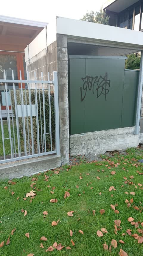
 Tag
 Street Gutters / Storm Water —
 Grate in road completely blocked up . Please look into this matter.??
 Graffiti on a sign, mural or public art —
 Hello Please see Graffiti /tag on 30 km per hour sign Could consideration given to removing it . ??
 Graffiti somewhere else —
 See pics
- Hazard — vehicle —
- Hazard — vehicle —
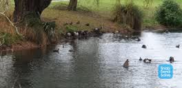 Roading/Streets —
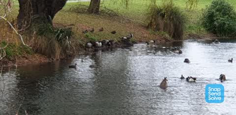
 The walkway on perimeter of Hagley Park is fouled with Canada geese droppings. Is there any maintenance work that can be undertaken to solve
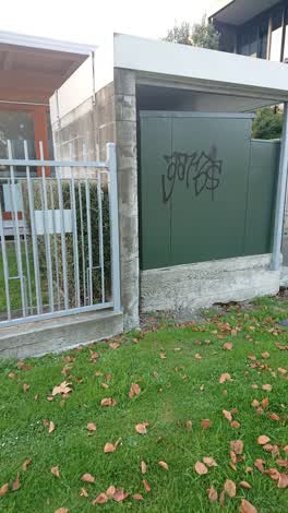 Graffiti —
 Orion box. 36 Park Terrace Christchurch Central.
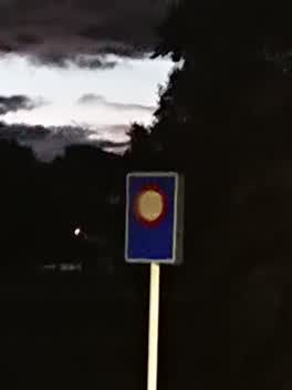 Roading/Streets —
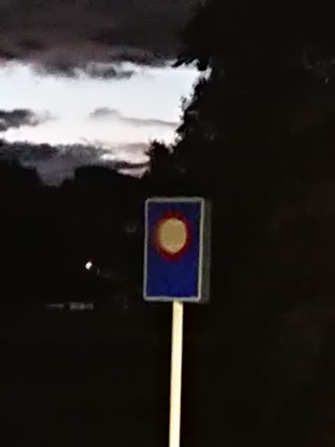
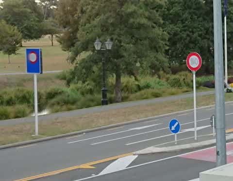
 The speed limit signs have been blanked out for a month. Please take them away.
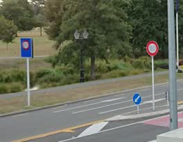 Roading/Streets —
 The 50km markings on the signs have been covered up. Since they now indicate nothing can you please remove the signs?
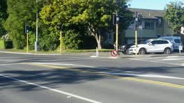 Roading/Streets —
 Kia ora, The 'No right turn' sign for drivers northbound on Park Terrace (at Kilmore) needs reorienting and reattaching please. Thanks in ad
- Roading/Streets —
Driveway will be blocked from 11:30pm by parked cars. Drivers abandon their cars and also the ability to speak english. They do not understa
Roading/Streets —
A lime scooter rider has dug a gark in the footpath on Park Terrace, outside No. 34.
Flooding —
When the two Nice Young Men unblocked the drain on Park Terrace near the Kilmore corner, the drain cover was put back off centre.
Parks —
There are still broken wine glasses on the Armagh st Bridge into Hagley Park. The second day my dog has had to walk through glass. It's in t
Parks —
Electric Avenue 28 Park Terrace (home of Judge and Mrs Wilson)
Parks —
Electric Avenue
Parks —
Electric Avenue
Parks —
Electric Avenue
Parks —
Electric Avenue
Parks —
Electric Avenue
Parks —
Electric Avenue
Parks —
Please stop Electric Avenue. The people peeing in front gardens is not welcome.
Parks —
Electric Avenue. The Council berm outside our home is covered in booze bottles and toilet paper because of your event. Please come and clean
Roading/Streets —
Your Good Idea of an azalea bed has become a bed of weeds and Cathedral Grammar rubbish. Told. You. So. Since you were so insistent, you wil
- Parks —
Yesterday bark was laid beneath the exercise course in Hagley Park. Between Armagh and Salisbury bridges really large river stones and smal
Roading/Streets —
Street lights are out on Park Terrace. Kilmore corner to Chester Street west
Also reported on Park Terrace
- 82A Park Terrace — 58 reports
- 78 Park Terrace — 39 reports
- 62 Park Terrace — 29 reports
- 42 Park Terrace — 28 reports
- 82 Park Terrace — 26 reports
- 104 Park Terrace — 25 reports
- 28 Park Terrace — 24 reports
- 76 Park Terrace — 16 reports
The street’s crash record
NZTA’s record names Park Terrace in 27 crashes that hurt somebody since 2006 — 1 person killed, 0 seriously hurt.
The green nearby
- Hagley Park North — 26 m to the edge · Sports ground · 91 ha
- Armagh Reserve — 124 m to the edge
- Cranmer Square — 133 m to the edge · Botanic · 2 ha
- Botanic Gardens — 216 m to the edge · Botanic · 21 ha
- Victoria Triangles — 364 m to the edge
Parks within half a kilometre, measured to the boundary — the council’s open data.
The civic shelf nearby
- Rolleston Avenue — 388 m away · Car park
- Armagh St — 396 m away · Car park
- Aldersgate — 407 m away · Car park
Libraries, halls and the rest within half a kilometre — the council’s open data.
On the doorstep
- 50 Bistro — 125 m away · Restaurants
- The George Hotel — 126 m away · Hotels
- The George — 133 m away · Hotels
- Consular Office of Japan — 154 m away · Diplomatic
Businesses within four hundred metres, measured at the pin — OpenStreetMap and the council directories.
The bus nearby
- Park Tce near Chester St W — 105 m away · route 8
- Park Tce near Peterborough St — 189 m away · route 8
The closest Metro stops, within four hundred and fifty metres.
The tracks through here
- Walk and bike track through Christchurch Central City — 15 m to the line · walk · bike
- Walk and bike track through Christchurch Central City — 28 m to the line · walk · bike
- Walk and bike track through Christchurch Central City — 76 m to the line · walk · bike
- Walk and bike track through Christchurch Central City — 161 m to the line · walk · bike
- Walk and bike track through Christchurch Central City — 191 m to the line · walk · bike
Tracks whose line passes within half a kilometre, measured to the line itself — the council’s open data.
The named ground
Named water within 500 m of this address, measured to the line or the edge; Named places within 1.5 km of this address; the council’s own structure register — bridges, boardwalks and steps standing nearby — the open map’s record.
The remembered names nearby
- Mischa Kuball / Solidarity Grid, 2013 / Belgrade — 30 m away ·
Mischa Kuball / Solidarity Grid, 2013 / BELGRADE
· 2013 - Mischa Kuball / Solidarity Grid, 2013 / Adelaide — 32 m away ·
Mischa Kuball / Solidarity Grid, 2013 / ADELAIDE
· 2013 - Mischa Kuball / Solidarity Grid, 2014 / Sendai — 46 m away ·
Mischa Kuball / Solidarity Grid, 2014 / SENDAI
· 2013
Inscribed plaques within two hundred and fifty metres — the register’s pins, not surveyed spots. The whole roll is at /plaques.
Renting nearby
new bonds in Christchurch Central City ran about $508 a week — $42 below the city median of $550 — the suburb page keeps the rent record →.
What was here — Former St Margaret's School Building and Setting
105 m away · 25A Cranmer Square · located to ±24 m · the place’s own record →
On the register. Nothing researched here yet.
What was here — Former Dwelling and Setting, Inveresk
175 m away · 17 Armagh Street · located to ±15 m · the place’s own record →
On the register. Nothing researched here yet.
What was here — Cranmer Square and Setting
193 m away · 1P Cranmer Square · located to ±119 m · the place’s own record →
In the winter of 1869 the City Council fenced Cranmer Square — the works committee had fencing plans prepared in July, and the fortnightly works return at the end of August records men "erecting posts for fencing Cranmer Square".
CHRISTCHURCH CITY COUNCIL. (Star, 27 July 1869) · · National Library of New ZealandIn January 1882 the promoters Joubert and Twopeny asked the City Council for the use of Cranmer Square to erect buildings for an international exhibition they planned to open that April.
THE INTERNATIONAL EXHIBITION. (Star, 14 January 1882) · · National Library of New ZealandAt an informal council meeting on 13 January 1882, Twopeny said the promoters would sign a bond to give the square back "in exactly the same condition as it was before" and would not injure any of its trees; he asked for Cranmer rather than Latimer Square because money had just been spent laying Latimer out.
THE INTERNATIONAL EXHIBITION. (Star, 14 January 1882) · · National Library of New ZealandThe exhibition never came to Cranmer Square. When it opened in April 1882 its buildings stood in Hagley Park, on the angle formed by the junction of the Riccarton and Lincoln roads.
THE INTERNATIONAL EXHIBITION AT CHRISTCHURCH. (Timaru Herald, 12 April 1882) · · National Library of New ZealandBy the early 1900s the houses around Cranmer Square ran heavily as lodging and boarding houses — the Star's columns carry years of boarders wanted, rooms to let and servants sought addressed to numbers 2, 3, 10, 20, 22 and 30.
Page 6 Advertisements Column 1 (Star, 14 January 1905) · · National Library of New ZealandWhat was here — Dwelling and Setting, Red House
201 m away · 25 Armagh Street · located to ±10 m · the place’s own record →
On the register. Nothing researched here yet.
What was here — Hagley Park Bridge and Setting
206 m away · located to ±18 m · the place’s own record →
On the register. Nothing researched here yet.
The civic layer
This ground votes in Central ward — the Papanui-Innes-Central community board. Ward lines don’t always follow suburb lines; this one is measured at the pin, not the suburb’s centre.
What stood on this ground → · On the map → · From the air — the Crown’s aerials back to 1936; search the address on RetroLens →
Questions, answered briefly
31 council reports on record since October 2017 — most often parks (11), roading/streets (8), street gutters / storm water (3).
Christchurch Central City, Christchurch — on Park Terrace.
The heritage register names 5 places at or beside it — Former St Margaret's School Building and Setting, Former Dwelling and Setting, Inveresk.
Hagley Park North — 26 m to its edge, 91 ha.