275 Bridle Path Road, Ferrymead
22 reports on record since February 2017 · 18 with photographs. The street’s heaviest record is 225 Bridle Path Road — 97 reports on file. Indicative rating valuation and school zones, hazards, bin day and what stood here before.
What gets reported here
Photographed here 18 on record


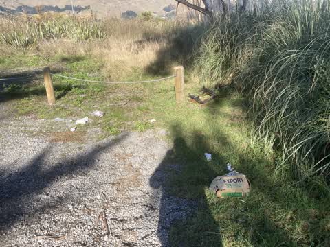
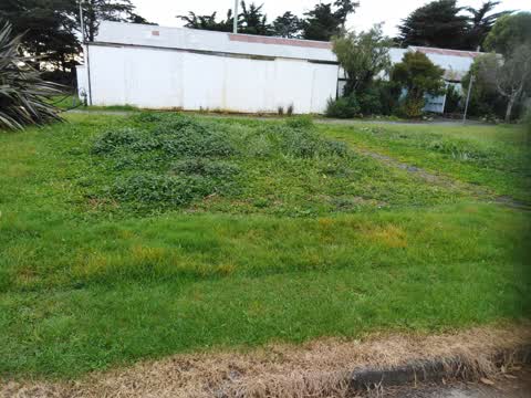
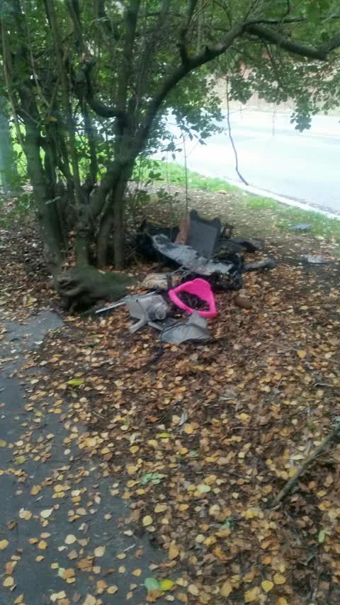
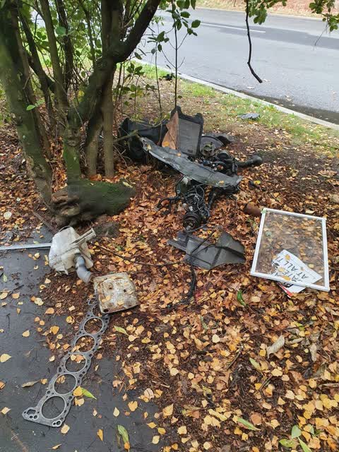
Reported here
 Water Leak —
 Burst pipe, starting to flood the road
 Facility - General Request —
 Further info for ID7344415. Looks like squatter has added own lock to gate?
 Water Leak —
  Graffiti on a fence, building or structure —
 3 waters station ferrymead booster has graffiti on the back side of the station
 Graffiti on a fence, building or structure —
 Graffiti on rear wall of PS1546 in ferrymead grounds.
 Abandoned Vehicle —
 May have been stolen ignition been ripped off and side passenger window was down. Parked by where the trams get fixed in ferrymead
 Fallen Tree —
 Willow tree on council reserve split and fell during the high winds a few days ago. We have removed the immediate Hazzard, but would like t
- Vandalism - General —
- Dumped Rubbish —
- Noise - Construction —
- Overgrown Vegetation —
 Dumped Rubbish —
 Ferrymead Drive carpark to Woodhill Reserve
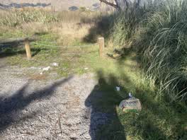 Rubbish/Recycling —
 Dumped rubbish our over entitled youth
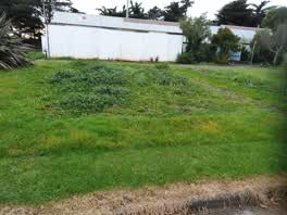 Parks —
 Grass needs cutting
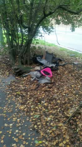 Rubbish/Recycling —
 motor parts
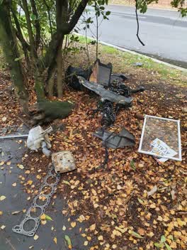 Rubbish/Recycling —
 rubbish dumbed on side of road and footpath
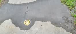 Water Leak —
 on footpath outside ferrymead tram shed
Rubbish/Recycling —
Rubbish/Recycling —
discarded rubbish spread about area.
Rubbish/Recycling —
This is in Council car park.
Graffiti —
Graffiti —
Also reported on Bridle Path Road
- 225 Bridle Path Road — 97 reports
- 256 Bridle Path Road — 40 reports
- 289 Bridle Path Road — 31 reports
- 269 Bridle Path Road — 27 reports
- 279 Bridle Path Road — 20 reports
- 271 Bridle Path Road — 20 reports
- 281 Bridle Path Road — 12 reports
- 270 Bridle Path Road — 11 reports
The street’s crash record
NZTA’s record names Bridle Path Road in 12 crashes that hurt somebody since 2006 — 1 person killed, 4 seriously hurt.
The green nearby
- Ferrymead Reserve — 99 m to the edge · Botanic · 1 ha
- Cannon Hill Reserve — 194 m to the edge · 3 ha
- Settlers Reserve — 253 m to the edge · 13 ha
- Ferrymead Park — 439 m to the edge · Regional · 77 ha
Parks within half a kilometre, measured to the boundary — the council’s open data.
On the doorstep
- Ferrymead Night Market — 160 m away · Markets
- Mount Pleasant Bed & Breakfast — 338 m away · B&Bs
Businesses within four hundred metres, measured at the pin — OpenStreetMap and the council directories.
The bus nearby
- Bridle Path Rd near Ferrymead Park Dr — 97 m away · route 155
- Bridle Path Rd near Cannon Hill Cres — 179 m away · route 155
The closest Metro stops, within four hundred and fifty metres.
The tracks through here
- Walk and bike track through Ferrymead — 433 m to the line · walk · bike
Tracks whose line passes within half a kilometre, measured to the line itself — the council’s open data.
The named ground
Named water within 500 m of this address, measured to the line or the edge; the council’s own structure register — bridges, boardwalks and steps standing nearby — the open map’s record.
The remembered names nearby
- Christchurch / City Council Your People Your City — 73 m away ·
CHRISTCHURCH / CITY COUNCIL YOUR PEOPLE YOUR CITY
· 2013 - Ferrymead / Christchurch — 89 m away ·
FERRYMEAD / CHRISTCHURCH
· 2013
Inscribed plaques within two hundred and fifty metres — the register’s pins, not surveyed spots. The whole roll is at /plaques.
The civic layer
This ground votes in Heathcote ward — the Spreydon-Cashmere-Heathcote community board. Ward lines don’t always follow suburb lines; this one is measured at the pin, not the suburb’s centre.
What stood on this ground → · On the map → · From the air — the Crown’s aerials back to 1936; search the address on RetroLens →
Questions, answered briefly
22 council reports on record since February 2017 — most often rubbish/recycling (6), water leak (3), graffiti on a fence, building or structure (2).
Ferrymead, Christchurch — on Bridle Path Road.
Nothing on the heritage register at this exact spot — the record around this ground →
Ferrymead Reserve — 99 m to its edge, 1 ha.