60 Ferrymead Park Drive, Ferrymead
11 reports on record since November 2020 · 8 with photographs. The street’s heaviest record is 101 Ferrymead Park Drive — 73 reports on file. Indicative rating valuation and school zones, hazards, bin day and what stood here before.
What gets reported here
Photographed here 8 on record

Reported here
- Street Gutters / Storm Water —
- Graffiti —
 Dumped Rubbish —
 - Damaged Road —
This road is pot holey as
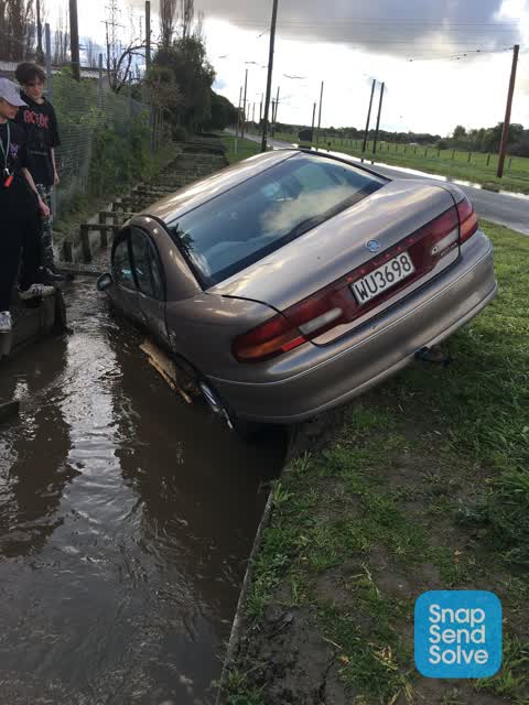
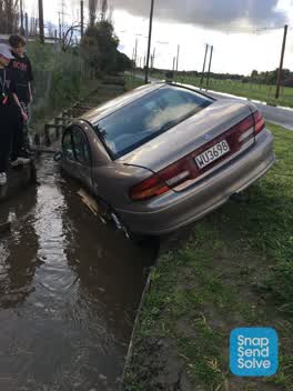 Hazard — vehicle —
 Car that lost control and crashed has damaged the water race. Shouldn’t the driver be liable for repairs ?
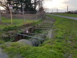 Water Leak —
 Water spraying out of pipe
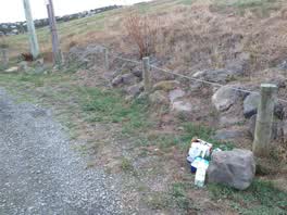 Rubbish/Recycling —
 rubbish dumped at roundabout
Rubbish/Recycling —
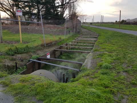
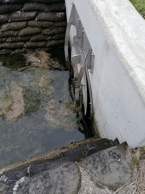
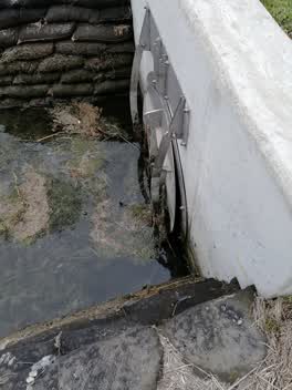 Wastewater/Stormwater —
 Back flow gate not functional due to debris.
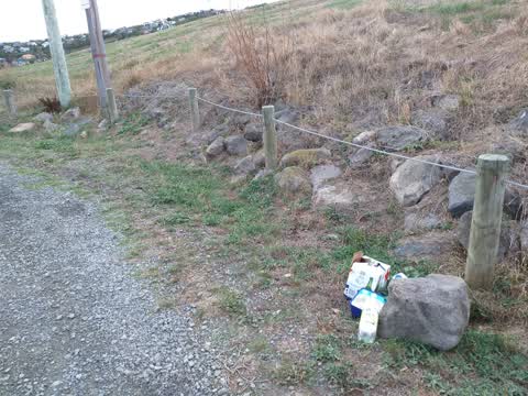
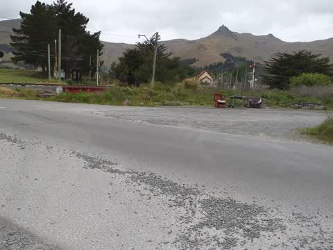
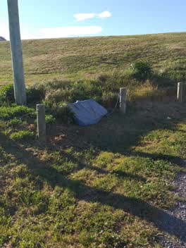 Rubbish/Recycling —
 rubbish dumped at roundabout by golf entry
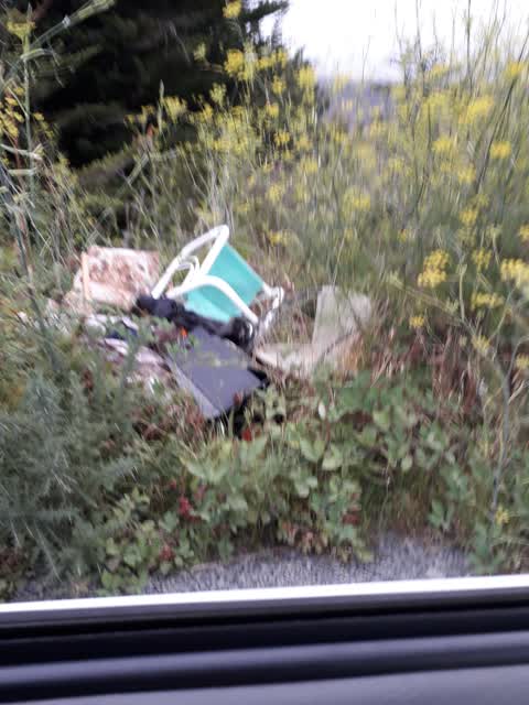
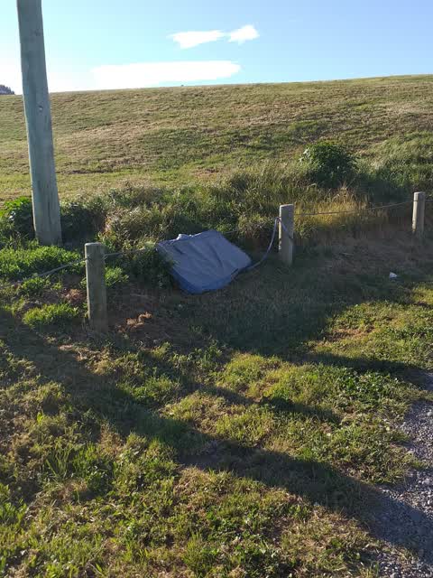
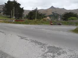 Rubbish/Recycling —
 furniture and bbq dumped at ferrymead golf entry
Also reported on Ferrymead Park Drive
- 101 Ferrymead Park Drive — 73 reports
- 121 Ferrymead Park Drive — 64 reports
- 50 Ferrymead Park Drive — 33 reports
- 81 Ferrymead Park Drive — 31 reports
- 68 Ferrymead Park Drive — 30 reports
- 61 Ferrymead Park Drive — 18 reports
- 70 Ferrymead Park Drive — 15 reports
- 126 Ferrymead Park Drive — 10 reports
The street’s crash record
NZTA’s record names Ferrymead Park Drive in 5 crashes that hurt somebody since 2006 — 1 person killed, 1 seriously hurt.
The green nearby
- Laing Reserve — 315 m to the edge
- Bridle Path Stream Reserve — 452 m to the edge
- Warner Reserve — 459 m to the edge
- Cooks Reserve — 481 m to the edge
Parks within half a kilometre, measured to the boundary — the council’s open data.
On the doorstep
- Ferrymead Events Centre — 111 m away · Venues & events
- Murder Mystery Dinner Theatre — 111 m away · Restaurants
- Ferrymead Heritage Park — 197 m away · Attractions
- Monsters and Zombies indoor mini golf — 232 m away · Attractions
Businesses within four hundred metres, measured at the pin — OpenStreetMap and the council directories.
The named ground
Named water within 500 m of this address, measured to the line or the edge; the council’s own structure register — bridges, boardwalks and steps standing nearby — the open map’s record.
The civic layer
This ground votes in Heathcote ward — the Spreydon-Cashmere-Heathcote community board. Ward lines don’t always follow suburb lines; this one is measured at the pin, not the suburb’s centre.
What stood on this ground → · On the map → · From the air — the Crown’s aerials back to 1936; search the address on RetroLens →
Questions, answered briefly
11 council reports on record since November 2020 — most often rubbish/recycling (4), water leak (1), wastewater/stormwater (1).
Ferrymead, Christchurch — on Ferrymead Park Drive.
Nothing on the heritage register at this exact spot — the record around this ground →
Laing Reserve — 315 m to its edge.