81 Ferrymead Park Drive, Ferrymead
31 reports on record since June 2015 · 30 with photographs. The street’s heaviest record is 101 Ferrymead Park Drive — 73 reports on file. Indicative rating valuation and school zones, hazards, bin day and what stood here before.
What gets reported here
- Rubbish/Recycling — 15
- Parks — 11
- Water Supply — 1
- Wastewater/Stormwater — 1
- Roading/Streets — 1
- Graffiti — 1
Photographed here 30 on record


Reported here
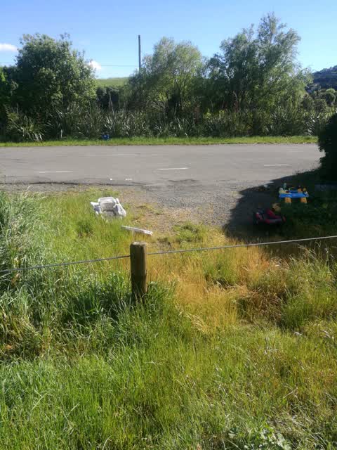
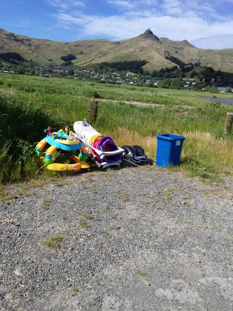
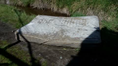
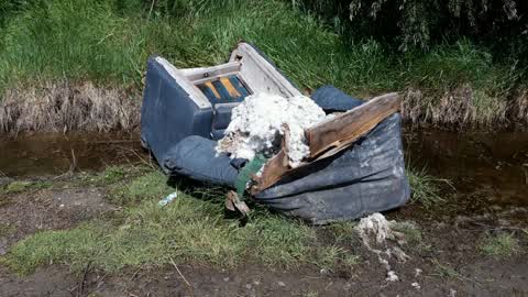
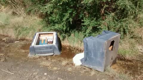
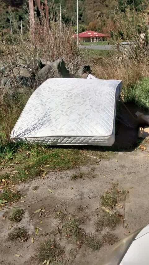
 Dumped Rubbish —
 Beer cans, etc. in favourite spot in car park
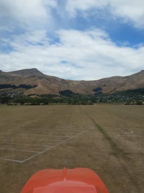
Water Supply —
just sending this due to turf is drying out. needs more irrigation.
Parks —
this sports surface has had no maintenance since being built despite the surrounding sports surfaces being regularly maintained by experts.
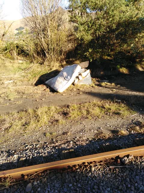
Rubbish/Recycling —
This is on a Rail Corridor and the responsibility of the Council. It is not visible from the road. It is next to the Tram Tracks. Any questi
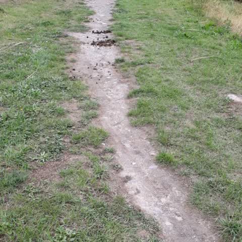
Parks —
Please add some gravel to the tracks each side of the Ferrymead sports pavillion. These get muddy and slippery when wet. Thank you.
Rubbish/Recycling —
Rubbish/Recycling —
Roading/Streets —
Rubbish
Rubbish/Recycling —
Rubbish/Recycling —
Rubbish/Recycling —
This can't be seen from the road it is down a track beside the tram track. This was first reported in December last year. My cell phone numb
Rubbish/Recycling —
Rubbish dumped between Ferrymead Park Drive and Tram track. My cell phone number is 02102325989. Cheers Graeme Belworthy
Parks —
Knee high weeds on both sides all along the track.
Parks —
Weeding needed in entrance garden beds :)
Rubbish/Recycling —
Rubbish/Recycling —
Rubbish/Recycling —
- Wastewater/Stormwater —
Sewer leak for months
Parks —
Sewerage leakage onto walkway
Parks —
Electricity box not closed to the elements or children
Rubbish/Recycling —
Parks —
Abandoned post with concrete attached next to old sleeperd
Rubbish/Recycling —
Parks —
Unmaintained garden/turf around bike track at Ferrymead Reg. Park.
Parks —
Maintenance needed at pump track. . Lots of very big weeds
Rubbish/Recycling —
Parks —
Please fill ankle breakers at ferry mead park sand carpet field. Approx 20 holes. Cheers, bridie.
Rubbish/Recycling —
Rubbish dumped
Graffiti —
Orion
Rubbish/Recycling —
Rubbish dumped by park
Parks —
Please put some gravel on this part of track. Otherwise it gets very muddy when wet. Thanks
Also reported on Ferrymead Park Drive
- 101 Ferrymead Park Drive — 73 reports
- 121 Ferrymead Park Drive — 64 reports
- 50 Ferrymead Park Drive — 33 reports
- 68 Ferrymead Park Drive — 30 reports
- 61 Ferrymead Park Drive — 18 reports
- 70 Ferrymead Park Drive — 15 reports
- 60 Ferrymead Park Drive — 11 reports
- 126 Ferrymead Park Drive — 10 reports
The street’s crash record
NZTA’s record names Ferrymead Park Drive in 5 crashes that hurt somebody since 2006 — 1 person killed, 1 seriously hurt.
The green nearby
- Cannon Hill Reserve — 254 m to the edge · 3 ha
- Ferrymead Park — 291 m to the edge · Regional · 77 ha
- Ferrymead Reserve — 428 m to the edge · Botanic · 1 ha
- Settlers Reserve — 458 m to the edge · 13 ha
Parks within half a kilometre, measured to the boundary — the council’s open data.
On the doorstep
- Ferrymead Night Market — 182 m away · Markets
- Ferrymead Heritage Park — 244 m away · Attractions
- Wow Burger & Pizza — 258 m away · Fast food
- Monsters and Zombies indoor mini golf — 268 m away · Attractions
Businesses within four hundred metres, measured at the pin — OpenStreetMap and the council directories.
The bus nearby
- Bridle Path Rd near Ferrymead Park Dr — 256 m away · route 155
- Bridle Path Rd near Ferrymead Park Dr — 425 m away · route 155
The closest Metro stops, within four hundred and fifty metres.
The named ground
Named water within 500 m of this address, measured to the line or the edge; the council’s own structure register — bridges, boardwalks and steps standing nearby — the open map’s record.
The civic layer
This ground votes in Heathcote ward — the Spreydon-Cashmere-Heathcote community board. Ward lines don’t always follow suburb lines; this one is measured at the pin, not the suburb’s centre.
What stood on this ground → · On the map → · From the air — the Crown’s aerials back to 1936; search the address on RetroLens →
Questions, answered briefly
31 council reports on record since June 2015 — most often rubbish/recycling (15), parks (11), water supply (1).
Ferrymead, Christchurch — on Ferrymead Park Drive.
Nothing on the heritage register at this exact spot — the record around this ground →
Cannon Hill Reserve — 254 m to its edge, 3 ha.