70 Ferrymead Park Drive, Ferrymead
15 reports on record since February 2017 · 14 with photographs. The street’s heaviest record is 101 Ferrymead Park Drive — 73 reports on file. Indicative rating valuation and school zones, hazards, bin day and what stood here before.
What gets reported here
- Overgrown Vegetation — 3
- Graffiti — 3
- Street Gutters / Storm Water — 2
- Rubbish/Recycling — 2
- Water Supply — 1
- Water Leak — 1
Photographed here 14 on record


Reported here
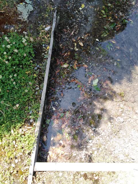
 Street Gutters / Storm Water —
 Water coming out of boards by drain… doesn’t look good
 Overgrown Vegetation —
 Vegetation getting very overgrown on cycle way as per photo
 Overgrown Vegetation —
 Overgrown weeds on cycle way is reducing width of path.
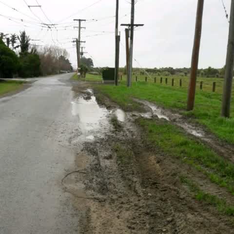
 Street Gutters / Storm Water —
 Hello… there appears to be a water leak at Ferrymead that’s running into the creek. It wasn’t like this yesterday and I know there’s been ma
 Overgrown Vegetation —
 Can City Watet trim the trees from their site as they pose a hazard for visibilty to drivers leaving Ferrrymead Heritage Park.
 Water Leak —
 Audible leak from grass adjoining drain.
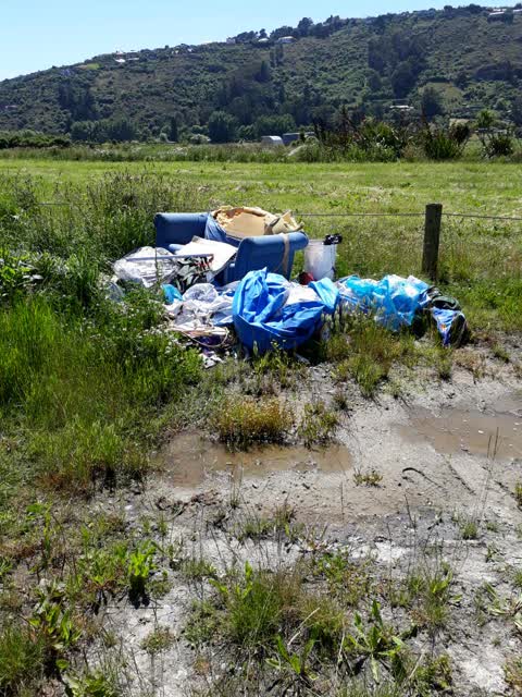
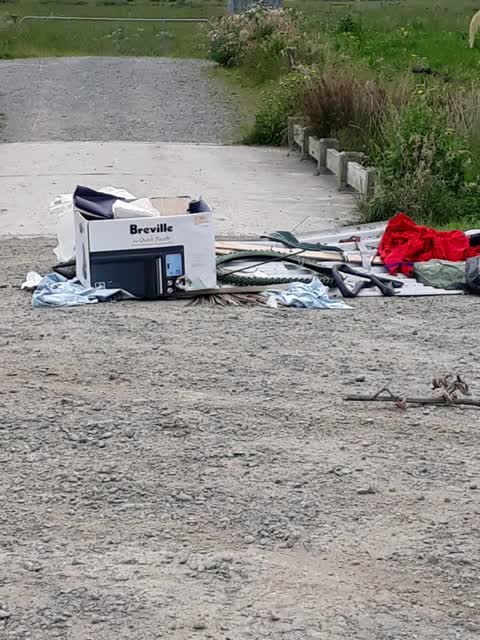
- Dumped Rubbish —
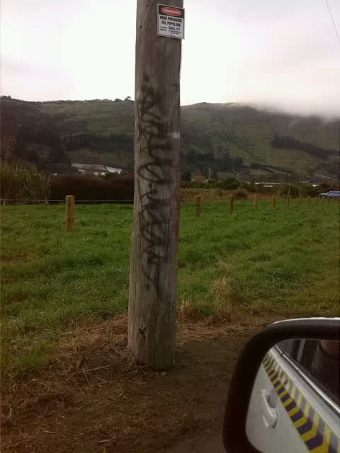
 Graffiti —
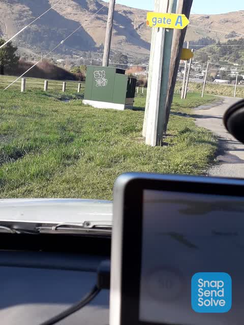
 Water Supply —
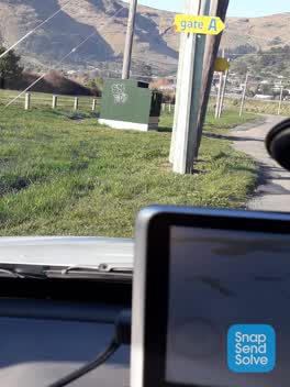
Leaking water Gate A entrance to Ferrymead Heritage Park. Any questions ring me on 02102325989.
Roading/Streets —
Rubbish/Recycling —
Rubbish/Recycling —
3 of 3
Graffiti —
Graffiti —
Parks —
Hello this is in regards to an incident I've reported some time ago and NEVER heard back about it or anything. We live in the Ferrymead Heri
Also reported on Ferrymead Park Drive
- 101 Ferrymead Park Drive — 73 reports
- 121 Ferrymead Park Drive — 64 reports
- 50 Ferrymead Park Drive — 33 reports
- 81 Ferrymead Park Drive — 31 reports
- 68 Ferrymead Park Drive — 30 reports
- 61 Ferrymead Park Drive — 18 reports
- 60 Ferrymead Park Drive — 11 reports
- 126 Ferrymead Park Drive — 10 reports
The street’s crash record
NZTA’s record names Ferrymead Park Drive in 5 crashes that hurt somebody since 2006 — 1 person killed, 1 seriously hurt.
The green nearby
- Laing Reserve — 96 m to the edge
- Bridle Path Stream Reserve — 213 m to the edge
- Cooks Reserve — 307 m to the edge
- Martindales Reserve No. 2 — 449 m to the edge
- Warner Reserve — 479 m to the edge
Parks within half a kilometre, measured to the boundary — the council’s open data.
On the doorstep
- Ferrymead Events Centre — 297 m away · Venues & events
- Murder Mystery Dinner Theatre — 297 m away · Restaurants
Businesses within four hundred metres, measured at the pin — OpenStreetMap and the council directories.
The bus nearby
- Port Hills Rd near Ardtrea Ln — 295 m away · route 8
- Port Hills Rd near Ardtrea Ln — 317 m away · route 8
The closest Metro stops, within four hundred and fifty metres.
The named ground
Named water within 500 m of this address, measured to the line or the edge; the council’s own structure register — bridges, boardwalks and steps standing nearby — the open map’s record.
The civic layer
This ground votes in Heathcote ward — the Spreydon-Cashmere-Heathcote community board. Ward lines don’t always follow suburb lines; this one is measured at the pin, not the suburb’s centre.
What stood on this ground → · On the map → · From the air — the Crown’s aerials back to 1936; search the address on RetroLens →
Questions, answered briefly
15 council reports on record since February 2017 — most often overgrown vegetation (3), graffiti (3), street gutters / storm water (2).
Ferrymead, Christchurch — on Ferrymead Park Drive.
Nothing on the heritage register at this exact spot — the record around this ground →
Laing Reserve — 96 m to its edge.