Belfries and chapels
The roll keeps eight church entries across the centre, a bishop’s chapel, a convent chapel, two churches that each kept their bell tower and vicarage as separate listings, and the school hall of the city’s oldest parish. A loop of the centre’s sacred ground.
The walk, as a line
Straight between pins, the streets run longer. Every numbered pin opens that place’s own record.
The stops, in order
- Former Bishop's Chapel and Setting, 100 Park Terrace · Heritage NZ list 296 · 37 unread leads
The Bishop’s Chapel on Park Terrace, the bishop’s own.
- St. Michael and All Angels Church & Setting, 90 Oxford Terrace · Heritage NZ list 294 · 32 unread leads
St Michael and All Angels, the parish church.
- St Michael and All Angels Church Belfry and Setting, 90 Oxford Terrace · Heritage NZ list 295 · 25 unread leads
Its belfry, listed separately from the church itself.
- St Michael's School Hall and Setting, 243 Durham Street South · 39 unread leads
St Michael’s school hall, the parish’s third entry.
- Former St Mary's Convent Chapel and Setting, 67/868 Colombo Street · Heritage NZ list 7239 · 17 unread leads
St Mary’s convent chapel on Colombo Street.
- Former Church of St Luke the Evangelist Bell Tower and Setting, 258 Manchester Street · 20 unread leads
St Luke the Evangelist’s bell tower, the tower outlived the church.
- Former Vicarage of the Church of St Luke the Evangelist and Setting, 185 Kilmore Street · Heritage NZ list 3132 · 20 unread leads
St Luke’s vicarage, the second entry the parish kept.
- St Luke's Chapel and Setting, 272 Hereford Street · Heritage NZ list 5328 · 40 unread leads
St Luke’s Chapel on Hereford Street, a different St Luke’s, the walk’s far end.
What the register built on the way
Council structures within about 30 m of the stop-to-stop line, the bridges, steps and shelters the route passes. Site names are the register’s own.
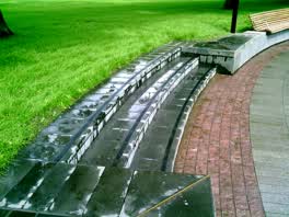 A set of steps at Victoria Square, 3 steps · built 2018 1 m off the line
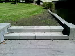 A set of steps at Victoria Square, 3 steps · built 2018 1 m off the line
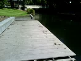 A boardwalk at Victoria Square, 9.4 m long · built 2018 2 m off the line
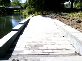 A ramp at Victoria Square, 6.7 m long · built 2018 10 m off the line
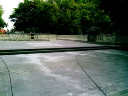 A set of steps at Victoria Square, 2 steps · built 2018 18 m off the line
 A boat ramp at Victoria Square, 11.3 m long · built 2018 29 m off the line
The reports along it
22,123 council reports pinned within 150 m of the line, most often Graffiti & vandalism and Roads & footpaths, 18,446 with a photograph. A pin is where a reporter stood, not a claim about the place itself.
 Dumped Rubbish
 Pavement - Damaged
 Graffiti on a fence, building or structure
 Water Leak
 Playground Equipment
 Graffiti on a fence, building or structure
 Water Leak
 Graffiti on a fence, building or structure
 Graffiti on a traffic light pole or cabinet, or wa
 Road Signage
 Hazard, vehicle
 Graffiti on a fence, building or structure
Questions, answered briefly
The roll keeps eight church entries across the centre, a bishop’s chapel, a convent chapel, two churches that each kept their bell tower and vicarage as separate listings, and the school hall of the city’s oldest parish. 8 listed places, 4.1 km as the line runs, Christchurch Central City.
Former Bishop's Chapel and Setting (100 Park Terrace) to St Luke's Chapel and Setting (272 Hereford Street), the order is a suggestion, not the only way round.
Every one, each pin is a row in the district plan’s heritage schedule, and each opens the place’s own sourced record here.
4.1 km measured straight between the pins, the streets run longer, and the stops deserve a pause each.
The record behind this
Every stop is a row in the district plan’s heritage schedule, held here as the register’s own layer. The order and the notes are ours, the listings are the council’s and Heritage New Zealand’s. "Setting" is the register’s word for the ground a listing covers.
The rest of the register here: Central City
The same ground today: Christchurch Central City
More walks over this ground: The square and its ring · The boulevard · The river bend · The school’s own register · The city’s stones
This page as markdown: /walks/belfries-and-chapels.md · the route as data: /walks/belfries-and-chapels.geojson · on the live map: the walks layer.