25 Peterborough Street, Christchurch Central City
14 reports on record since January 2016 · 12 with photographs. The street’s heaviest record is 152 Peterborough Street — 35 reports on file. Indicative rating valuation and school zones, hazards, bin day and what stood here before.
What gets reported here
Photographed here 12 on record




Reported here
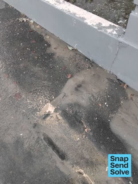
 Flooding —
 Stagnant slimy water sitting around the foundations of the historic building.
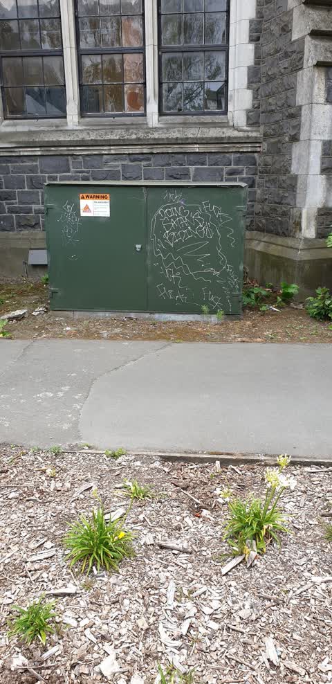
 Graffiti on a fence, building or structure —
 On the building wall.
 Pavement - General —
 Black paint tag on historic concrete fragment from the old teachers college at 25 Peterborough Street.
 Damaged Road —
 The grill is missing Extremely dangerous
 Graffiti somewhere else —
 Montreal St On sign on corrugated iron fence beside historic building. Next to spagalimi carpark
 Water Leak —
  Graffiti on a fence, building or structure —
 black graffiti on orange bin
 Graffiti —
 white graffiti on the bottom of a pole
- Road Signage —
- Street Gutters / Storm Water —
Graffiti —
Roading/Streets —
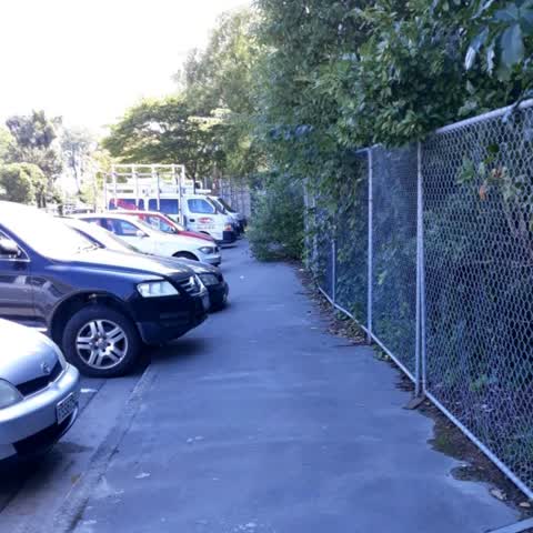
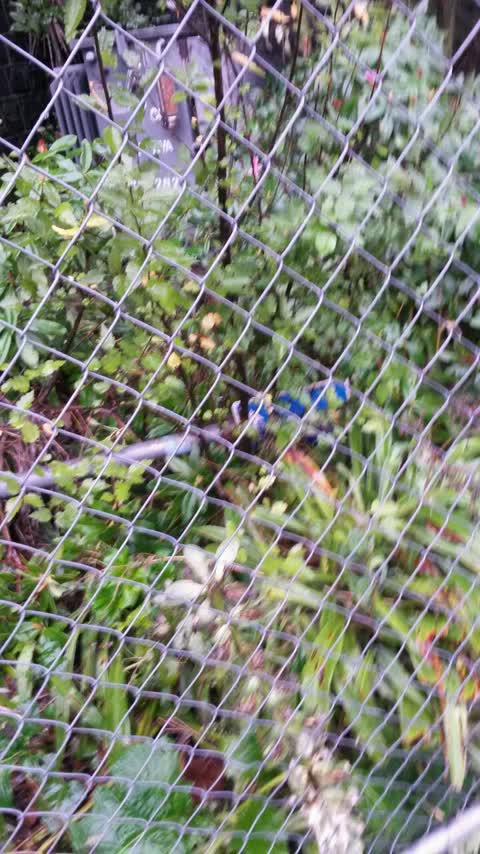
Overgrown trees make it difficult to use the footpath.
Roading/Streets —
P120 front sign down over a fence
Roading/Streets —
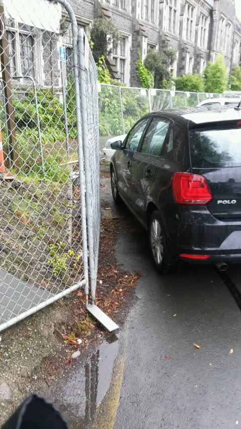
Yellow lines a covered with dirt and are faded need something done people a parking here cause others to move in to oncoming traffic
Also reported on Peterborough Street
- 152 Peterborough Street — 35 reports
- 11 Peterborough Street — 26 reports
- 170 Peterborough Street — 22 reports
- 51 Peterborough Street — 16 reports
- 76 Peterborough Street — 15 reports
- 181 Peterborough Street — 14 reports
- 52 Peterborough Street — 13 reports
- 39 Peterborough Street — 13 reports
The street’s crash record
NZTA’s record names Peterborough Street in 47 crashes that hurt somebody since 2006 — 12 seriously hurt, nobody killed.
The green nearby
- Cranmer Square — 153 m to the edge · Botanic · 2 ha
- Hagley Park North — 169 m to the edge · Sports ground · 91 ha
- Victoria Triangles — 181 m to the edge
- Aldred Reserve — 326 m to the edge
- Armagh Reserve — 362 m to the edge
Parks within half a kilometre, measured to the boundary — the council’s open data.
The civic shelf nearby
- Aldersgate — 387 m away · Car park
- Armagh St — 412 m away · Car park
Libraries, halls and the rest within half a kilometre — the council’s open data.
On the doorstep
- The Polo Bar at Hotel Montreal — 37 m away · Restaurants
- The Tack Rooms — 53 m away · Motels
- Spagalimis — 73 m away · Restaurants
- Spagalimis Pizzeria — 75 m away · Restaurants
Businesses within four hundred metres, measured at the pin — OpenStreetMap and the council directories.
The bus nearby
- Victoria St near Peterborough St — 113 m away · route 1, route 29, route 95
- Salisbury St near Victoria St — 152 m away · route 1, route 29, route 95
The closest Metro stops, within four hundred and fifty metres.
The tracks through here
- Walk and bike track through Christchurch Central City — 94 m to the line · walk · bike
- Walk and bike track through Christchurch Central City — 163 m to the line · walk · bike
- Walk and bike track through Christchurch Central City — 176 m to the line · walk · bike
- Walk and bike track through Christchurch Central City — 190 m to the line · walk · bike
- Walk and bike track through Christchurch Central City — 218 m to the line · walk · bike
Tracks whose line passes within half a kilometre, measured to the line itself — the council’s open data.
The named ground
Named water within 500 m of this address, measured to the line or the edge; Named places within 1.5 km of this address; the council’s own structure register — bridges, boardwalks and steps standing nearby — the open map’s record.
The remembered names nearby
- Removed / From Intersection of / High & Manchester Streets — 76 m away ·
REMOVED / FROM INTERSECTION OF / HIGH & MANCHESTER STREETS / AND RE-ERECTED / OCTOBER 1990
· 2009 - Erected by Citizens / of Christchurch — 77 m away ·
Erected by Citizens / of Christchurch, N.Z / in commemoration of the / Diamond Jubilee of
· 2009 - Victoria Triangles plaque — 78 m away · 2009
Inscribed plaques within two hundred and fifty metres — the register’s pins, not surveyed spots. The whole roll is at /plaques.
Renting nearby
new bonds in Christchurch Central City ran about $508 a week — $42 below the city median of $550 — the suburb page keeps the rent record →.
What was here — Former Christchurch Teachers College and Setting
on this spot · located to ±45 m · the place’s own record →
On the register. Nothing researched here yet.
What was here — Victoria Mansions and Setting
64 m away · F/91 Victoria Street · located to ±21 m · the place’s own record →
On the register. Nothing researched here yet.
What was here — Dwelling and Setting, Ironside House
73 m away · 32 Salisbury Street · located to ±15 m · the place’s own record →
On the register. Nothing researched here yet.
What was here — Jubilee Clock Tower and Setting
77 m away · 95 Victoria Street · located to ±5 m · the place’s own record →
On the register. Nothing researched here yet.
What was here — Former Shop/Dwelling and Setting
184 m away · 40 Cranmer Square · located to ±6 m · the place’s own record →
On the register. Nothing researched here yet.
The civic layer
This ground votes in Central ward — the Papanui-Innes-Central community board. Ward lines don’t always follow suburb lines; this one is measured at the pin, not the suburb’s centre.
What stood on this ground → · On the map → · From the air — the Crown’s aerials back to 1936; search the address on RetroLens →
Questions, answered briefly
14 council reports on record since January 2016 — most often roading/streets (3), graffiti on a fence, building or structure (2), graffiti (2).
Christchurch Central City, Christchurch — on Peterborough Street.
The heritage register names 5 places at or beside it — Former Christchurch Teachers College and Setting, Victoria Mansions and Setting.
Cranmer Square — 153 m to its edge, 2 ha.