181 Peterborough Street, Christchurch Central City
14 reports on record since May 2021 · 9 with photographs. The street’s heaviest record is 152 Peterborough Street — 35 reports on file. Indicative rating valuation and school zones, hazards, bin day and what stood here before.
What gets reported here
- Hazard — vehicle — 6
- Graffiti — 4
- Roading/Streets — 3
- Street Light Outage — 1
Photographed here 9 on record


Reported here
 Hazard — vehicle —
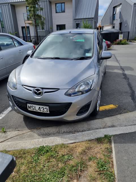
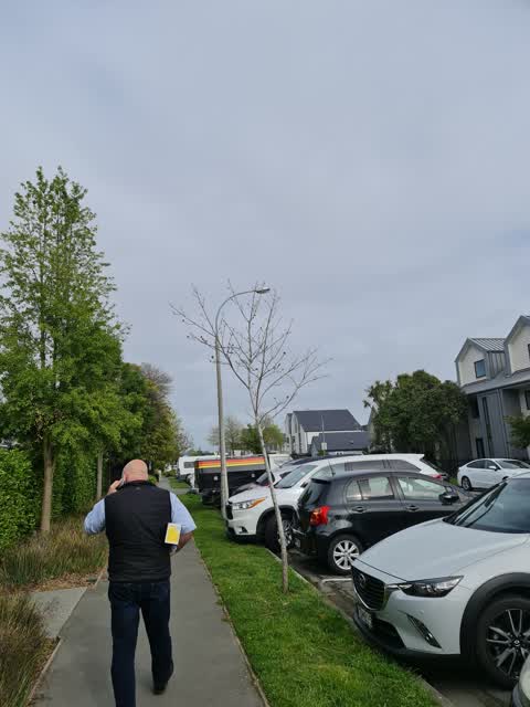
 Car parked over yellow lines
 Hazard — vehicle —
 Car parked over kerb cut, driveway of 175 peterborough st
 Hazard — vehicle —
 Licence plate QMS444 Parked on yellow lines over property entrance for over an hour. Address 175 Peterborough St
 Graffiti —
 on black water tank 175 Peterborough St
 Graffiti —
 - Graffiti —
- Hazard — vehicle —
- Hazard — vehicle —
- Hazard — vehicle —
- Graffiti —
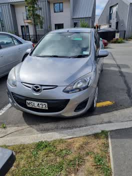 Roading/Streets —
 Parked on yellow lines. Obscures vision when exiting driveway from apartments.
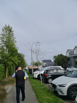 Street Light Outage —
 Light flickering
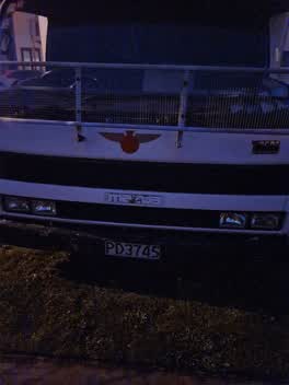 Roading/Streets —
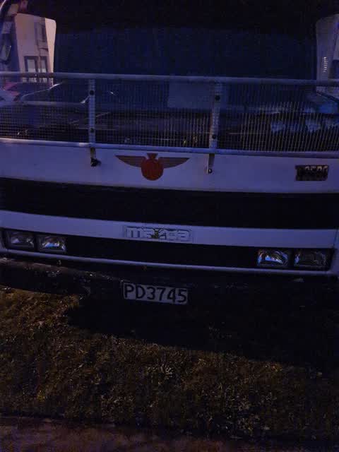
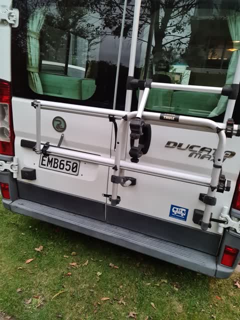
 campervan parked in street for over 5 days
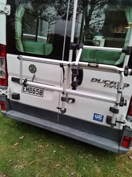 Roading/Streets —
 campervan stored on road
Also reported on Peterborough Street
- 152 Peterborough Street — 35 reports
- 11 Peterborough Street — 26 reports
- 170 Peterborough Street — 22 reports
- 51 Peterborough Street — 16 reports
- 76 Peterborough Street — 15 reports
- 25 Peterborough Street — 14 reports
- 52 Peterborough Street — 13 reports
- 39 Peterborough Street — 13 reports
The street’s crash record
NZTA’s record names Peterborough Street in 47 crashes that hurt somebody since 2006 — 12 seriously hurt, nobody killed.
The green nearby
- Cambridge Reserve — 146 m to the edge
- Fire Fighters Reserve — 218 m to the edge
- Poplars Reserve — 220 m to the edge · Botanic
- Edmonds Band Rotunda — 279 m to the edge · Botanic
- Moa Reserve — 351 m to the edge
Parks within half a kilometre, measured to the boundary — the council’s open data.
On the doorstep
- Knit World — 48 m away · Wool
- Mainland Uniforms — 56 m away · Clothing
- South Architects — 74 m away · Architects
- Fox and Associates — 82 m away · Surveyors
Businesses within four hundred metres, measured at the pin — OpenStreetMap and the council directories.
The bus nearby
- Manchester St near Kilmore St — 129 m away · route 1, route 27, route 29, route 44, route 91, route 92, route 95
- Manchester St near Salisbury St — 134 m away · route 1, route 27, route 29, route 44, route 95
The closest Metro stops, within four hundred and fifty metres.
The tracks through here
- Walk and bike track through Christchurch Central City — 107 m to the line · walk · bike
- Walk and bike track through Christchurch Central City — 184 m to the line · walk · bike
- Walk and bike track through Christchurch Central City — 195 m to the line · walk · bike
- Walk and bike track through Christchurch Central City — 202 m to the line · walk · bike
- Walk and bike track through Christchurch Central City — 228 m to the line · walk · bike
Tracks whose line passes within half a kilometre, measured to the line itself — the council’s open data.
The named ground
Named water within 500 m of this address, measured to the line or the edge; Named places within 1.5 km of this address; the council’s own structure register — bridges, boardwalks and steps standing nearby — the open map’s record.
The remembered names nearby
- Planted by the / Canterbury Provincial [] / to Commemorate — 173 m away ·
PLANTED BY THE / CANTERBURY PROVINCIAL [illegible] / TO COMMEMORATE / THE GOLDEN JUBILEE /
· 2009 - 25th May 1991 / 25 Years in New Zealand Working — 174 m away ·
25th May 1991 / 25 years in New Zealand working / for prisoners of conscience and / politi
· 2009 - These Trees Were Planted by / Past Presidents — 175 m away ·
THESE TREES WERE PLANTED BY / PAST PRESIDENTS OF / NATIONAL COUNCIL OF WOMEN / CHRISTCHURC
· 2009
Inscribed plaques within two hundred and fifty metres — the register’s pins, not surveyed spots. The whole roll is at /plaques.
Renting nearby
new bonds in Christchurch Central City ran about $508 a week — $42 below the city median of $550 — the suburb page keeps the rent record →.
What was here — Former Vicarage of the Church of St Luke the Evangelist and Setting
92 m away · 185 Kilmore Street · located to ±12 m · the place’s own record →
On the register. Nothing researched here yet.
What was here — Former Church of St Luke the Evangelist Bell Tower and Setting
121 m away · 258 Manchester Street · located to ±4 m · the place’s own record →
On the register. Nothing researched here yet.
What was here — Poplars, Lamp Standards and Setting
227 m away · located to ±139 m · the place’s own record →
On the register. Nothing researched here yet.
The civic layer
This ground votes in Central ward — the Papanui-Innes-Central community board. Ward lines don’t always follow suburb lines; this one is measured at the pin, not the suburb’s centre.
What stood on this ground → · On the map → · From the air — the Crown’s aerials back to 1936; search the address on RetroLens →
Questions, answered briefly
14 council reports on record since May 2021 — most often hazard — vehicle (6), graffiti (4), roading/streets (3).
Christchurch Central City, Christchurch — on Peterborough Street.
The heritage register names 3 places at or beside it — Former Vicarage of the Church of St Luke the Evangelist and Setting, Former Church of St Luke the Evangelist Bell Tower and Setting.
Cambridge Reserve — 146 m to its edge.