300 Manchester Street, Christchurch Central City
13 reports on record since August 2019 · 10 with photographs. The street’s heaviest record is 297-299 Manchester Street — 102 reports on file. Indicative rating valuation and school zones, hazards, bin day and what stood here before.
What gets reported here
Photographed here 10 on record






Reported here
 Sediment - Construction —
mud and dust being hauled up Manchester st
 Dumped Rubbish —
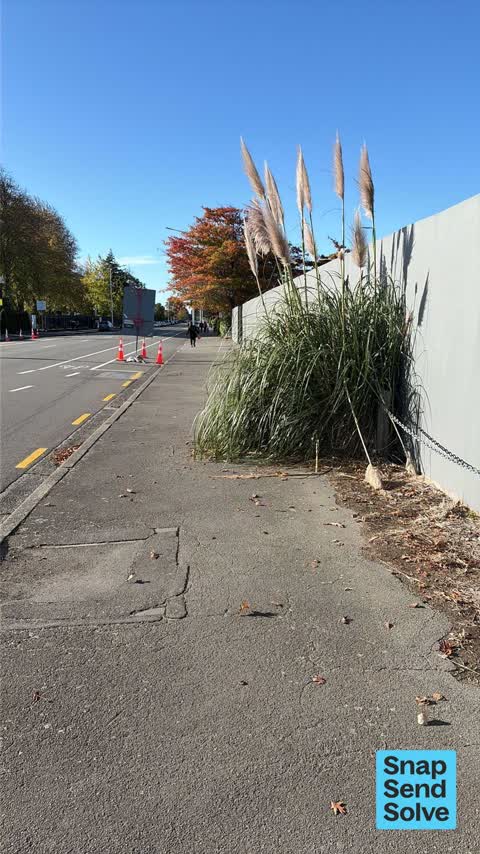
 Overgrown Vegetation —
Vegetation grown over footpath
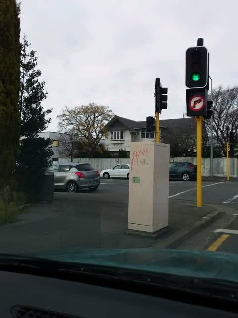
 Graffiti on a fence, building or structure —
Graffiti on wall
 Graffiti on a fence, building or structure —
Graffiti on fence
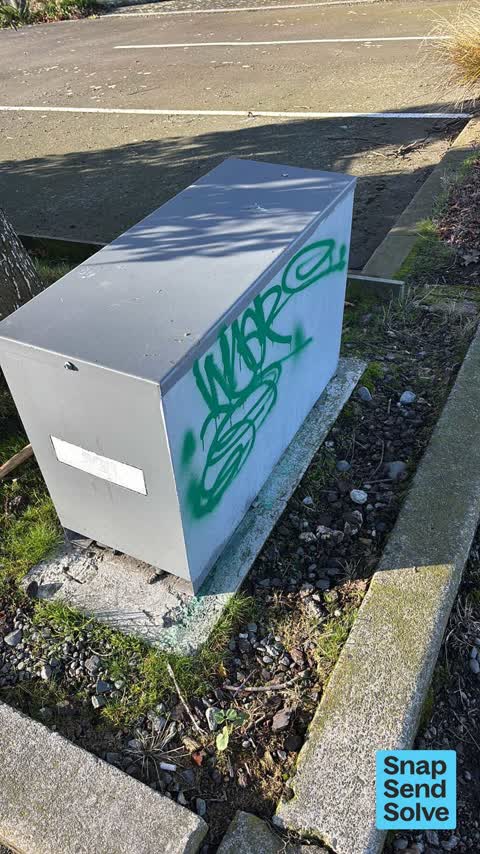
 Graffiti on a fence, building or structure —
Green paint tag on SGS asset at 300 Manchester Street.
 Abandoned Vehicle —
This car has been parked on this site since about Saturday. It appears to be abandoned. Rego is EZJ775
 Graffiti somewhere else —
- Graffiti —
- Graffiti —
- Graffiti —
 Graffiti —
Also reported on Manchester Street
- 297-299 Manchester Street — 102 reports
- 293 Manchester Street — 72 reports
- 214 Manchester Street — 72 reports
- 153 Manchester Street — 52 reports
- 218 Manchester Street — 48 reports
- 76 Manchester Street — 45 reports
- 204 Manchester Street — 45 reports
- 192 Manchester Street — 40 reports
The street’s crash record
NZTA’s record names Manchester Street in 235 crashes that hurt somebody since 2006 — 1 person killed, 38 seriously hurt.
The green nearby
- Rose Historic Chapel Reserve — 212 m to the edge · Botanic
- Moa Reserve — 337 m to the edge
- Cambridge Reserve — 346 m to the edge
- Fire Fighters Reserve — 413 m to the edge
- Poplars Reserve — 419 m to the edge · Botanic
Parks within half a kilometre, measured to the boundary — the council’s open data.
On the doorstep
- Global Living — 74 m away · Furniture
- Briscoes — 108 m away · Houseware
- Frobisher — 122 m away · Interior Decoration
- Southern Hospitality — 136 m away · Kitchen
Businesses within four hundred metres, measured at the pin — OpenStreetMap and the council directories.
The bus nearby
- Manchester St near Salisbury St — 38 m away · route 44
- Manchester St near Salisbury St — 91 m away · route 1, route 27, route 29, route 44, route 95
The closest Metro stops, within four hundred and fifty metres.
The tracks through here
- Walk and bike track through Christchurch Central City — 18 m to the line · walk · bike
- Walk and bike track through Christchurch Central City — 377 m to the line · walk · bike
- Walk and bike track through Christchurch Central City — 385 m to the line · walk · bike
- Walk and bike track through Christchurch Central City — 391 m to the line · walk · bike
- Walk and bike track through Christchurch Central City — 397 m to the line · walk · bike
Tracks whose line passes within half a kilometre, measured to the line itself — the council’s open data.
The named ground
Named water within 500 m of this address, measured to the line or the edge; Named places within 1.5 km of this address — the open map’s record.
The remembered names nearby
- A.M.D.G. Hic Lapis a Rr Dd J.J. Grimes S.M . — 241 m away ·
A.M.D.G. Hic Lapis A RR DD J.J. Grimes S.M ... Latin dedication
· 2009 - Heritage Christchurch Former St Mary’S Convent Chapel Built — 242 m away ·
HERITAGE CHRISTCHURCH Former St Mary’s Convent Chapel Built 1910 Architect Luttrell Brothe
· 2009
Inscribed plaques within two hundred and fifty metres — the register’s pins, not surveyed spots. The whole roll is at /plaques.
Renting nearby
new bonds in Christchurch Central City ran about $508 a week — $42 below the city median of $550 — the suburb page keeps the rent record →.
What was here — Former Dwelling and Setting, Holly Lea/McLean's Mansion
199 m away · 387 Manchester Street · located to ±28 m · the place’s own record →
On the register. Nothing researched here yet.
What was here — Former St Mary's Convent Chapel and Setting
231 m away · 67/868 Colombo Street · located to ±12 m · the place’s own record →
On the register. Nothing researched here yet.
The civic layer
This ground votes in Central ward — the Papanui-Innes-Central community board. Ward lines don’t always follow suburb lines; this one is measured at the pin, not the suburb’s centre.
What stood on this ground → · On the map → · From the air — the Crown’s aerials back to 1936; search the address on RetroLens →
Questions, answered briefly
13 council reports on record since August 2019 — most often graffiti (5), graffiti on a fence, building or structure (3), sediment - construction (1).
Christchurch Central City, Christchurch — on Manchester Street.
The heritage register names 2 places at or beside it — Former Dwelling and Setting, Holly Lea/McLean's Mansion, Former St Mary's Convent Chapel and Setting.
Rose Historic Chapel Reserve — 212 m to its edge.