200 Kilmore Street, Christchurch Central City
20 reports on record since February 2016 · 17 with photographs. The street’s heaviest record is 70 Kilmore Street — 86 reports on file. Indicative rating valuation and school zones, hazards, bin day and what stood here before.
What gets reported here
- Graffiti — 14
- Water Fountain — 1
- Roads - General — 1
- Roading/Streets — 1
- Road Blockage — 1
- Pavement - General — 1
Photographed here 17 on record


Reported here
 Water Fountain —
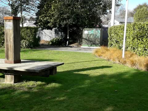
garden sprinkler head damaged/missing in the firefighters reserve.
- Roads - General —
There really is no need for the traffic management to push lanes across into the cycle lane, there is ample room to leave it operational. I
 Road Blockage —
Cycleway blocked by sign.
- Pavement - General —
- Damaged Street Sign —
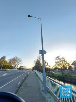 Graffiti —
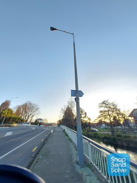
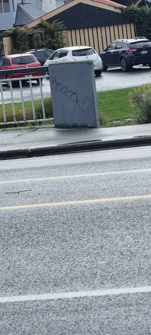
Tagging on concrete lamppost on bridge opposite fire station on Kilmore st
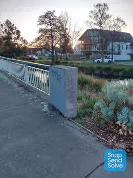 Graffiti —
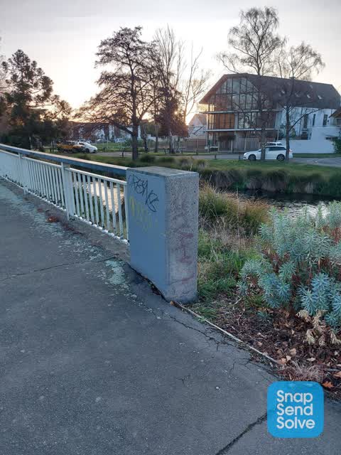
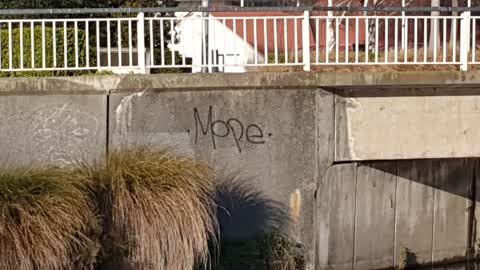
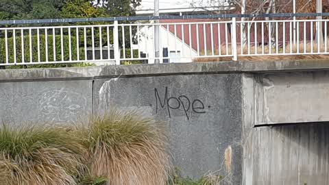
Tagging on concrete pillar at end of river bridge on Kilmore St. Opposite the Fire station
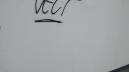 Graffiti —
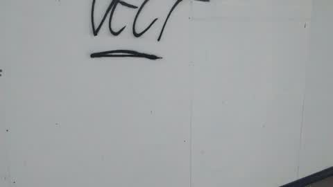
kilmore St new Fire Station build.
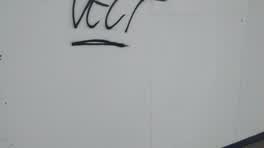 Graffiti —
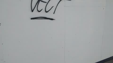
kilmore St new Fire Station build.
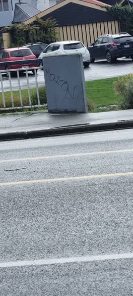 Graffiti —
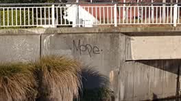 Graffiti —
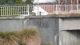 Graffiti —
Graffiti —
Graffiti —
Graffiti —
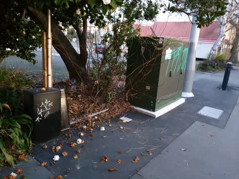
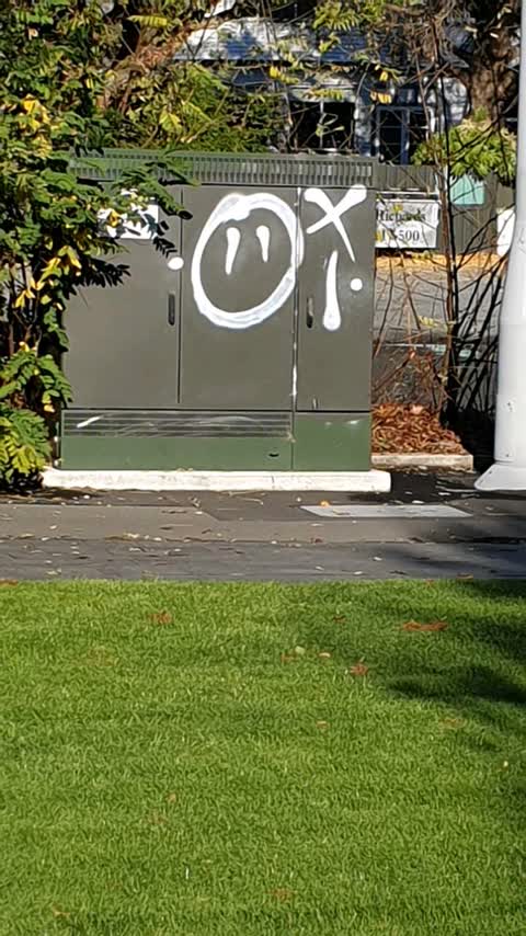
Power box
Roading/Streets —
Hlass on footpath and road
Graffiti —
Obscene
Graffiti —
On sign at front of station
Graffiti —
Didn't remove graffiti on power role
Also reported on Kilmore Street
- 70 Kilmore Street — 86 reports
- 211 Kilmore Street — 72 reports
- 294E Kilmore Street — 53 reports
- 277 Kilmore Street — 49 reports
- 254 Kilmore Street — 42 reports
- 86 Kilmore Street — 30 reports
- 284 Kilmore Street — 29 reports
- 229 Kilmore Street — 28 reports
The street’s crash record
NZTA’s record names Kilmore Street in 104 crashes that hurt somebody since 2006 — 1 person killed, 22 seriously hurt.
The green nearby
- Fire Fighters Reserve — 30 m to the edge
- Cambridge Reserve — 108 m to the edge
- Poplars Reserve — 118 m to the edge · Botanic
- Avon Riverbank Central City — 218 m to the edge · 6 ha
- Cambridge Green — 234 m to the edge
Parks within half a kilometre, measured to the boundary — the council’s open data.
On the doorstep
- Foley Towers — 75 m away · Hostels
- Pillars Cafe — 102 m away · Cafés
- Street Bowls Vegan & GF Food Truck — 108 m away · Fast food
- The Herb Centre Cafe — 110 m away · Cafés
Businesses within four hundred metres, measured at the pin — OpenStreetMap and the council directories.
The bus nearby
- Manchester St near Kilmore St — 338 m away · route 1, route 27, route 29, route 44, route 91, route 92, route 95
- Manchester St near Kilmore St — 344 m away · route 44, route 91, route 92
The closest Metro stops, within four hundred and fifty metres.
The tracks through here
- Walk and bike track through Christchurch Central City — 10 m to the line · walk · bike
- Walk and bike track through Christchurch Central City — 57 m to the line · walk · bike
- Walk and bike track through Christchurch Central City — 58 m to the line · walk · bike
- Walk and bike track through Christchurch Central City — 59 m to the line · walk · bike
- Walk and bike track through Christchurch Central City — 88 m to the line · walk · bike
Tracks whose line passes within half a kilometre, measured to the line itself — the council’s open data.
The named ground
Named water within 500 m of this address, measured to the line or the edge; Named places within 1.5 km of this address; the council’s own structure register — bridges, boardwalks and steps standing nearby — the open map’s record.
The remembered names nearby
- Christchurch City Council 1969 H2o – Sig – T16 — 38 m away ·
CHRISTCHURCH CITY COUNCIL 1969 H2O – SIG – T16
· 2009 - Christchurch City Council Acknowledges Generous Support — 49 m away ·
Christchurch City Council acknowledges generous support of sponsors (full list engraved)
· 2009 - Lion Foundation a Gaming Machine Charitable Trust Belfast — 59 m away ·
LION FOUNDATION A GAMING MACHINE CHARITABLE TRUST Belfast Tavern; Bush Inn Hotel; Halswell
· 2009
Inscribed plaques within two hundred and fifty metres — the register’s pins, not surveyed spots. The whole roll is at /plaques.
Renting nearby
new bonds in Christchurch Central City ran about $508 a week — $42 below the city median of $550 — the suburb page keeps the rent record →.
What was here — Dwellings and Setting
145 m away · 100 Chester Street East · located to ±13 m · the place’s own record →
On the register. Nothing researched here yet.
What was here — Edmonds Clock Tower, Telephone Cabinet and Setting
157 m away · 295F Madras Street · located to ±15 m · the place’s own record →
On the register. Nothing researched here yet.
What was here — Commercial Building and Setting
159 m away · 228 Kilmore Street · located to ±11 m · the place’s own record →
On the register. Nothing researched here yet.
What was here — Dwellings and Setting
164 m away · 86 Chester Street East · located to ±15 m · the place’s own record →
On the register. Nothing researched here yet.
What was here — The Bricks Site, Cairn and Setting
171 m away · 311 Oxford Terrace · located to ±35 m · the place’s own record →
On the register. Nothing researched here yet.
The civic layer
This ground votes in Central ward — the Papanui-Innes-Central community board. Ward lines don’t always follow suburb lines; this one is measured at the pin, not the suburb’s centre.
What stood on this ground → · On the map → · From the air — the Crown’s aerials back to 1936; search the address on RetroLens →
Questions, answered briefly
20 council reports on record since February 2016 — most often graffiti (14), water fountain (1), roads - general (1).
Christchurch Central City, Christchurch — on Kilmore Street.
The heritage register names 5 places at or beside it — Dwellings and Setting, Edmonds Clock Tower, Telephone Cabinet and Setting.
Fire Fighters Reserve — 30 m to its edge.