222 Kilmore Street, Christchurch Central City
15 reports on record since April 2022 · 10 with photographs. The street’s heaviest record is 70 Kilmore Street — 86 reports on file. Indicative rating valuation and school zones, hazards, bin day and what stood here before.
What gets reported here
Photographed here 10 on record

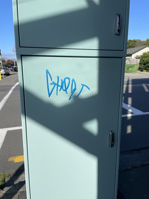
Reported here
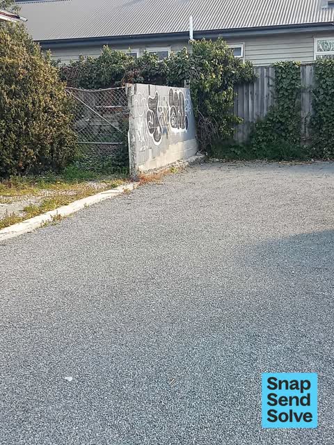
 Graffiti on a fence, building or structure —
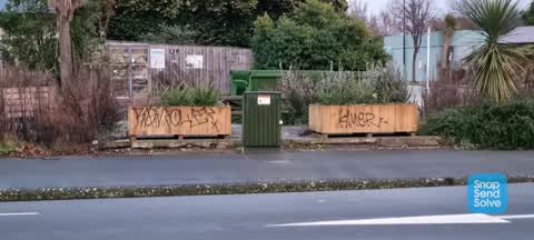
graffiti on concrete block fence empty section
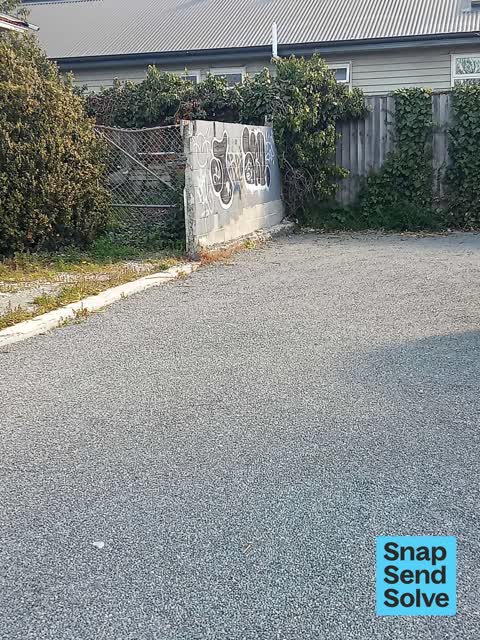
 Graffiti on a fence, building or structure —
graffiti on concrete block fence empty section
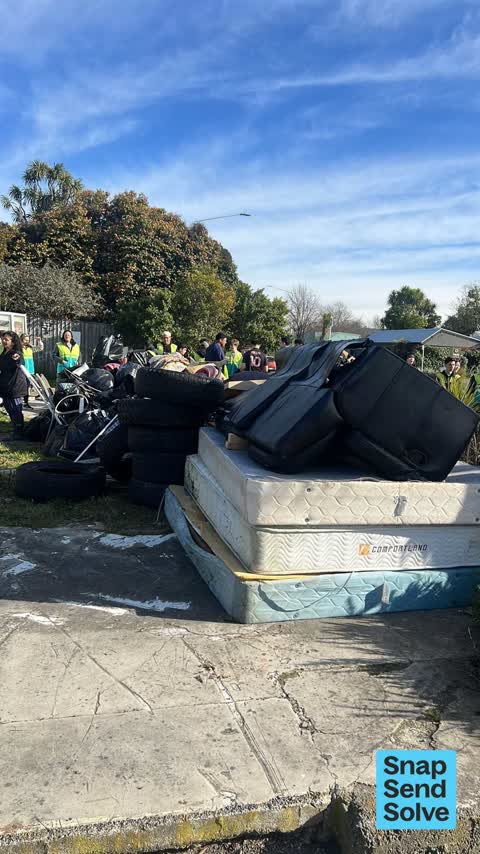
 Dumped Rubbish —
Rubbish collection from the city centre. There is a lot! ???????
 Graffiti on a fence, building or structure —
 Graffiti somewhere else —
 Graffiti somewhere else —
 Vandalism - General —
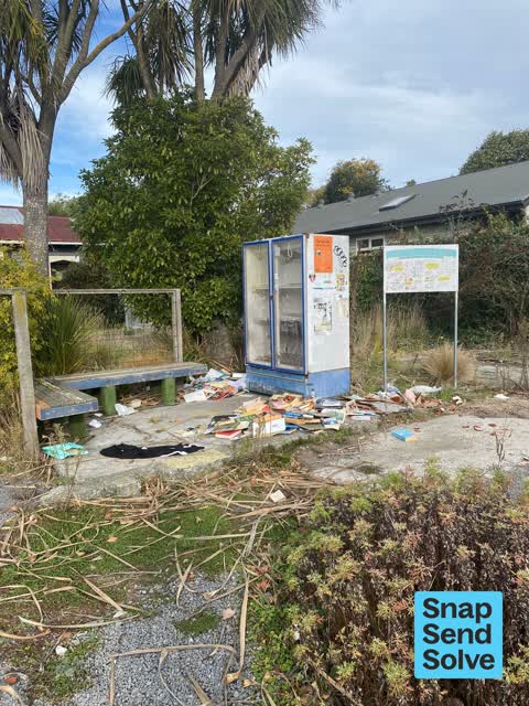
The lovely book library at the corner of Kilmore and Barbadoes has had everything ripped out and strewn across the ground.
- Pavement - Damaged —
- Graffiti —
- Graffiti —
- Graffiti —
- Pavement - General —
 Graffiti —
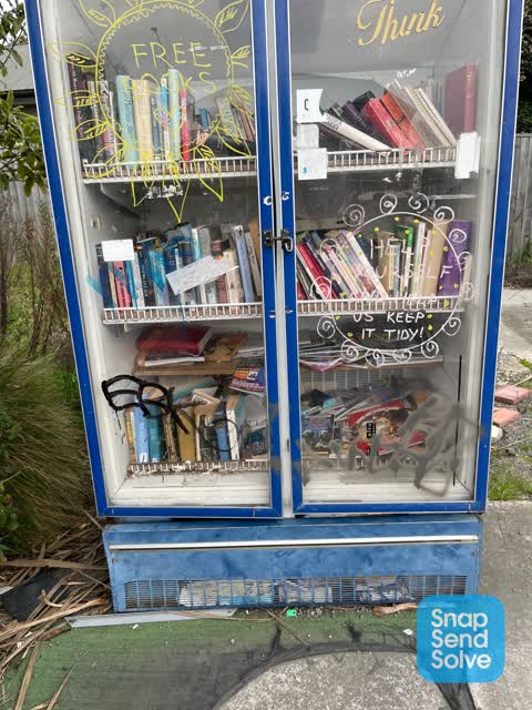
Graffiti on book fridge
 Graffiti —
 Graffiti —
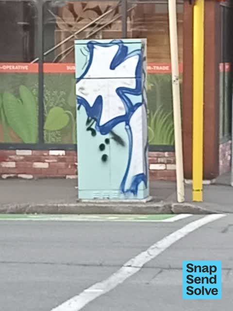
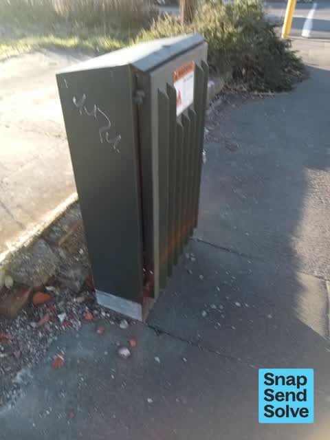
Graffiti on Traffic signal controller box on Piko corner or Barbadoes and Kilmore
Also reported on Kilmore Street
- 70 Kilmore Street — 86 reports
- 211 Kilmore Street — 72 reports
- 294E Kilmore Street — 53 reports
- 277 Kilmore Street — 49 reports
- 254 Kilmore Street — 42 reports
- 86 Kilmore Street — 30 reports
- 284 Kilmore Street — 29 reports
- 229 Kilmore Street — 28 reports
The street’s crash record
NZTA’s record names Kilmore Street in 104 crashes that hurt somebody since 2006 — 1 person killed, 22 seriously hurt.
The green nearby
- Avon Riverbank Central City — 161 m to the edge · 6 ha
- Fire Fighters Reserve — 165 m to the edge
- Cambridge Green — 183 m to the edge
- Chester Street East Reserve — 183 m to the edge
- Cambridge Reserve — 243 m to the edge
Parks within half a kilometre, measured to the boundary — the council’s open data.
On the doorstep
- Make Collective — 19 m away · Business
- Piko Wholefoods — 23 m away · Delis
- Golden Blade Barbers — 24 m away · Hairdressers
- Heritage Psychology — 24 m away · Counsellors & psychologists
Businesses within four hundred metres, measured at the pin — OpenStreetMap and the council directories.
The bus nearby
- Gloucester St near Barbadoes St — 346 m away · route 5, route 7
- Gloucester St near Barbadoes St — 366 m away · route 5, route 7
The closest Metro stops, within four hundred and fifty metres.
The tracks through here
- Walk and bike track through Christchurch Central City — 16 m to the line · walk · bike
- Walk and bike track through Christchurch Central City — 94 m to the line · walk · bike
- Walk and bike track through Christchurch Central City — 140 m to the line · walk · bike
- Walk and bike track through Christchurch Central City — 151 m to the line · walk · bike
- Walk and bike track through Christchurch Central City — 189 m to the line · walk · bike
Tracks whose line passes within half a kilometre, measured to the line itself — the council’s open data.
The named ground
Named water within 500 m of this address, measured to the line or the edge; Named places within 1.5 km of this address; the council’s own structure register — bridges, boardwalks and steps standing nearby — the open map’s record.
The remembered names nearby
- Plaque no. 310899 — 111 m away
- Plaque no. 310900 — 111 m away
- Plaque no. 310901 — 111 m away
Inscribed plaques within two hundred and fifty metres — the register’s pins, not surveyed spots. The whole roll is at /plaques.
Renting nearby
new bonds in Christchurch Central City ran about $508 a week — $42 below the city median of $550 — the suburb page keeps the rent record →.
What was here — Commercial Building and Setting
24 m away · 228 Kilmore Street · located to ±11 m · the place’s own record →
On the register. Nothing researched here yet.
What was here — The Bricks Site, Cairn and Setting
139 m away · 311 Oxford Terrace · located to ±35 m · the place’s own record →
On the register. Nothing researched here yet.
What was here — Dwelling and Setting
149 m away · 250 Kilmore Street · located to ±8 m · the place’s own record →
On the register. Nothing researched here yet.
What was here — Dwellings and Setting
215 m away · 100 Chester Street East · located to ±13 m · the place’s own record →
On the register. Nothing researched here yet.
The civic layer
This ground votes in Central ward — the Papanui-Innes-Central community board. Ward lines don’t always follow suburb lines; this one is measured at the pin, not the suburb’s centre.
What stood on this ground → · On the map → · From the air — the Crown’s aerials back to 1936; search the address on RetroLens →
Questions, answered briefly
15 council reports on record since April 2022 — most often graffiti (6), graffiti on a fence, building or structure (3), graffiti somewhere else (2).
Christchurch Central City, Christchurch — on Kilmore Street.
The heritage register names 4 places at or beside it — Commercial Building and Setting, The Bricks Site, Cairn and Setting.
Avon Riverbank Central City — 161 m to its edge, 6 ha.